- Maine census statistical areas
-
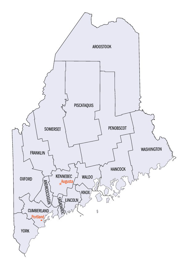
 Map of the 16 counties of the State of Maine
The United States Census Bureau has defined one Combined Statistical Area (CSA),[1] three Metropolitan Statistical Areas (MSAs),[2] and two Micropolitan Statistical Areas (μSAs)[3] in the State of Maine. The following table describes these areas with the following information:
- The name of the Combined Statistical Area (CSA), if any.[1]
- The population of the CSA as of 2006-07-01, as estimated by the United States Census Bureau.[4]
- The name of the Core Based Statistical Area (CBSA).[5]
- The population of the CBSA as of 2006-07-01, as estimated by the United States Census Bureau.[6]
- The name of the county.
- The population of the county as of 2006-07-01, as estimated by the United States Census Bureau.[7]
United States Census Bureau Statistical Areas in the State of Maine Combined Statistical Area 2006 Pop Core Based Statistical Area 2006 Pop County 2006 Pop Portland-Lewiston-South Portland, ME CSA 621,219 Portland-South Portland-Biddeford, ME MSA 513,667 Cumberland County, Maine 274,598 York County, Maine 202,232 Sagadahoc County, Maine 36,837 Lewiston-Auburn, ME MSA 107,552 Androscoggin County, Maine 107,552 primary census statistical area 147,180 Bangor, ME MSA 147,180 Penobscot County, Maine 147,180 primary census statistical area 121,068 Augusta-Waterville, ME μSA 121,068 Kennebec County, Maine 121,068 primary census statistical area 41,096 Rockland, ME μSA 41,096 Knox County, Maine 41,096 none Aroostook County, Maine 73,008 Oxford County, Maine 57,118 Hancock County, Maine 53,797 Somerset County, Maine 52,249 Waldo County, Maine 38,715 Lincoln County, Maine 35,234 Washington County, Maine 33,288 Franklin County, Maine 30,017 Piscataquis County, Maine 17,585 See also
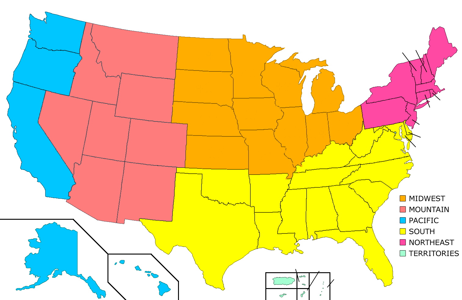
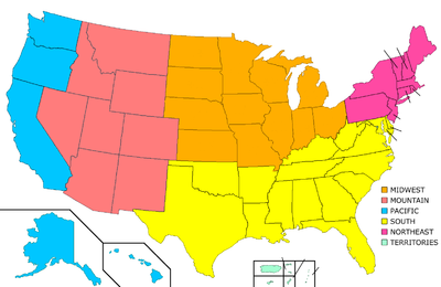 United States census statistical areas by state, district, or territoryMEASMPGUVI
- State of Maine
- Demographics of Maine
- Geography of Maine
- United States Census Bureau
References
- ^ a b The United States Census Bureau defines a Combined Statistical Area (CSA) as an aggregate of adjacent Core Based Statistical Areas that are linked by commuting ties.
- ^ The United States Census Bureau defines a Metropolitan Statistical Area (MSA) as a Core Based Statistical Area having at least one urbanized area of 50,000 or more population, plus adjacent territory that has a high degree of social and economic integration with the core as measured by commuting ties.
- ^ The United States Census Bureau defines a Micropolitan Statistical Area (μSA) as a Core Based Statistical Area having at least one urban cluster of at least 10,000 but less than 50,000 population, plus adjacent territory that has a high degree of social and economic integration with the core as measured by commuting ties.
- ^ "Annual Estimates of the Population of Combined Statistical Areas: April 1, 2000 to July 1, 2006 (CBSA-EST2006-02)" (CSV). 2006 Population Estimates. United States Census Bureau, Population Division. 2007-04-05. http://www.census.gov/population/www/estimates/metro_general/2006/CBSA-EST2006-02.csv. Retrieved 2007-04-06.
- ^ The United States Census Bureau defines a Core Based Statistical Area (CBSA) as one or more adjacent counties or county equivalents that have at least one urban cluster of at least 10,000 population, plus adjacent territory that has a high degree of social and economic integration with the core as measured by commuting ties. The Census Bureau has defined two types of CBSAs: (1) a Metropolitan Statistical Area (MSA), which has an urban core population of 50,000 or more, or (2) a Micropolitan Statistical Area (μSA), which has an urban core population of 10,000 or more but less than 50,000.
- ^ "Annual Estimates of the Population of Metropolitan and Micropolitan Statistical Areas: April 1, 2000 to July 1, 2006 (CBSA-EST2006-01)" (CSV). 2006 Population Estimates. United States Census Bureau, Population Division. 2007-04-05. http://www.census.gov/population/www/estimates/metro_general/2006/CBSA-EST2006-01.csv. Retrieved 2007-04-06.
- ^ "Annual County Population Estimates and Estimated Components of Change: April 1, 2000 to July 1, 2006 (CO-EST2006-alldata)" (CSV). 2006 Population Estimates. United States Census Bureau, Population Division. 2007-03-22. http://www.census.gov/popest/counties/files/CO-EST2006-ALLDATA.csv. Retrieved 2007-04-06.
External links
 State of Maine
Augusta (capital) Topics Index | Culture | Geography | Government | Governors | History | Images | People | Visitor Attractions | Congressional districts
Regions Down East | Highlands | Kennebec Valley | Lake Country | Mid Coast | North Woods | Penobscot Bay | Southern Coast | Western Mountains
Counties Androscoggin | Aroostook | Cumberland | Franklin | Hancock | Kennebec | Knox | Lincoln | Oxford | Penobscot | Piscataquis | Sagadahoc | Somerset | Waldo | Washington | York
Cities Largest towns Categories:- Metropolitan areas of Maine
- Micropolitan areas of Maine
- Census statistical areas
- Maine-related lists
Wikimedia Foundation. 2010.