- Orono, Maine
-
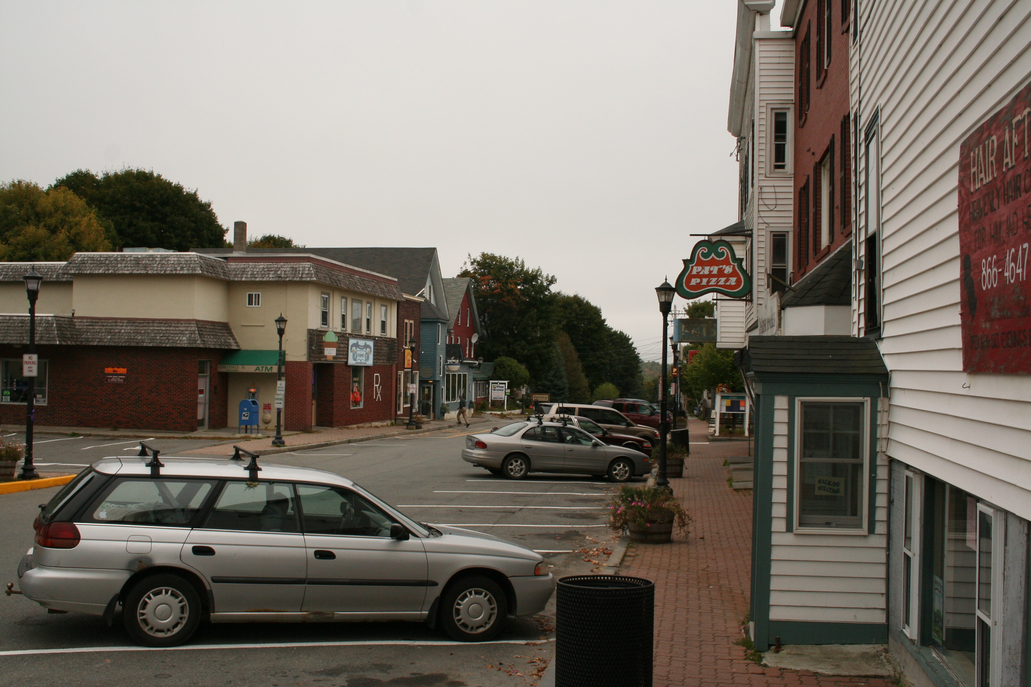
Town of Orono — Town — Mill Street business in downtown Orono

Seal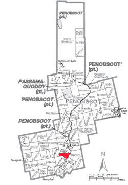
Coordinates: 44°52′58.0362″N 68°40′18.6702″W / 44.882787833°N 68.671852833°WCoordinates: 44°52′58.0362″N 68°40′18.6702″W / 44.882787833°N 68.671852833°W Country United States State Maine County Penobscot Settled 1774 Incorporated March 12, 1806 Chartered 1969 Government - Type Council/Manager - Town Manager Sophia L. Wilson Area - Total 19.8 sq mi (51.3 km2) - Land 18.2 sq mi (47.1 km2) - Water 1.6 sq mi (4.1 km2) 7.94% Population (2010) - Total 10,362 Time zone EST (UTC-5) - Summer (DST) EDT (UTC-4) ZIP Code 04473-Town, 04469-UMaine Area code(s) 207 Website www.orono.org Orono is a town in Penobscot County, Maine, United States. It was first settled in 1774 and named in honor of Chief Joseph Orono of the Penobscot Nation. It is home to The University of Maine. The population was 10,362 at the 2010 census.
Contents
Geography
Orono is located at about 44.8998 degrees latitude, -68.67444 degrees longitude. According to the United States Census Bureau, the town has a total area of 19.8 square miles (51.2 km²), of which, 18.2 square miles (47.2 km²) of it is land and 1.6 square miles (4.1 km²) of it is water. The total area is 7.94% water. The town is divided by the Stillwater River, a branch of the Penobscot River, with part occupying part of Marsh Island, which is surrounded by the Penobscot and the Stillwater, and the other part on the mainland.
Demographics
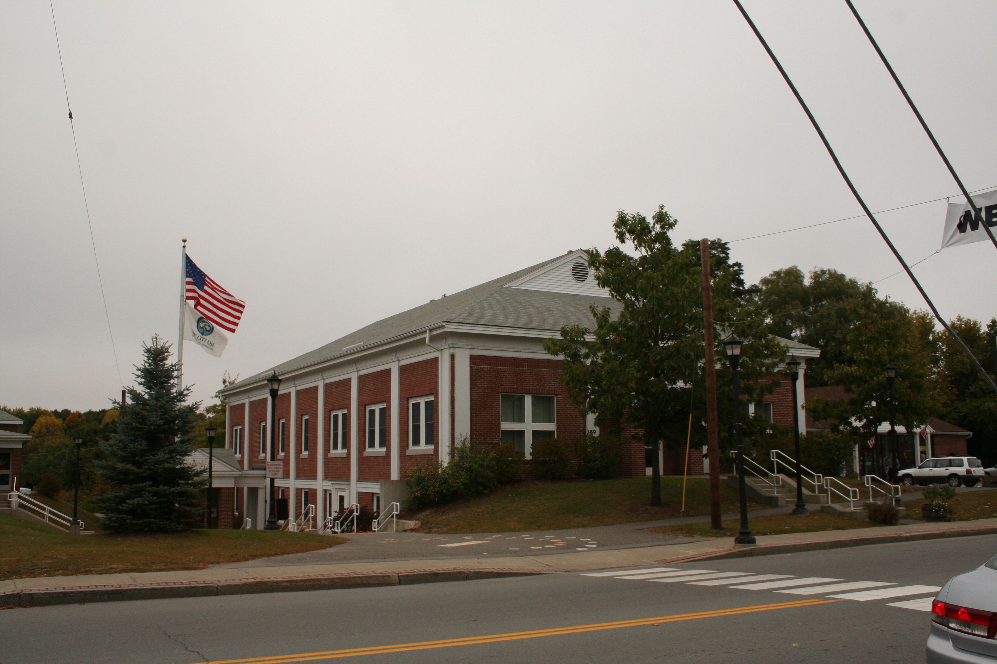
 Orono town offices
 See also: Orono (CDP), Maine
As of the census[1] of 2000, the town had a population of 9,112 people, 2,691 households, and 1,291 families residing in the town. The population density is 500.3 people per square mile (193.2/km²). There are 2,899 housing units at an average density of 159.2 per square mile (61.5/km²). The racial makeup of the town was 93.54% White, 1.38% Black or African American, 0.95% Native American, 2.39% Asian, 0.07% Pacific Islander, 0.52% from other races, and 1.15% from two or more races. Hispanic or Latino of any race were 1.21% of the population.
There were 2,691 households out of which 21.7% had children under the age of 18 living with them, 36.6% were married couples living together, 8.5% had a female householder with no husband present, and 52.0% were non-families. 31.5% of all households were made up of individuals and 10.0% had someone living alone who is 65 years of age or older. The average household size was 2.23 and the average family size was 2.81.
In the town the population was spread out with 11.9% under the age of 18, 47.9% from 18 to 24, 17.1% from 25 to 44, 13.8% from 45 to 64, and 9.3% who were 65 years of age or older. The median age was 22 years. For every 100 females there were 102.5 males. For every 100 females age 18 and over, there were 102.1 males.
The median income for a household in the town was $30,619, and the median income for a family was $52,714. Males had a median income of $35,923 versus $24,943 for females. The per capita income for the town was $14,813. About 10.3% of families and 25.0% of the population were below the poverty line, including 21.8% of those under the age of 18 and 6.2% of those 65 and older are living below the poverty line.
Notable people
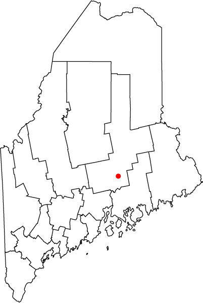
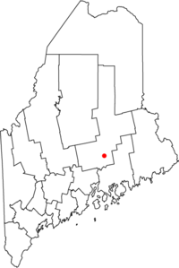 Location of town of Orono in state of Maine
- Wallace Rider Farrington, territorial governor of Hawaii.
- Constance Hunting, poet, publisher.
- Jonathan Norcross, inventor, 4th Mayor of Atlanta.
- Elizabeth Schneider, state senator
- Katee Stearns, Miss Maine USA (2006).
- Israel Washburn, Jr., congressman, a founder of the Republican Party, 29th Governor of Maine.
- Dorothy Clarke Wilson, novelist, playwright.[citation needed]
Points of interest
- University of Maine
- Fay Hyland Botanical Plantation
- Lyle E. Littlefield Ornamentals Trial Garden
- Old Fire Engine House
- Pat's Pizza
References
- ^ "American FactFinder". United States Census Bureau. http://factfinder.census.gov. Retrieved 2008-01-31.
External links
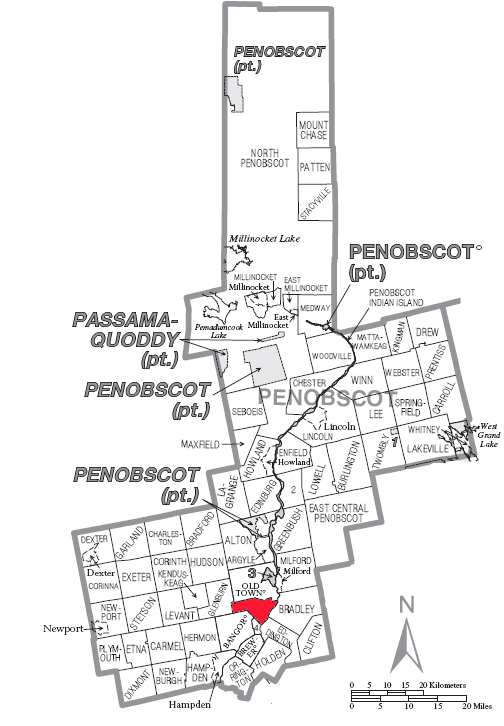
Municipalities and communities of Penobscot County, Maine Cities 
Towns Alton | Bradford | Bradley | Burlington | Carmel | Charleston | Chester | Clifton | Corinna | Corinth | Dexter | Dixmont | East Millinocket | Eddington | Edinburg | Enfield | Etna | Exeter | Garland | Glenburn | Greenbush | Hampden | Hermon | Holden | Howland | Hudson | Kenduskeag | Lagrange | Lakeville | Lee | Levant | Lincoln | Lowell | Mattawamkeag | Maxfield | Medway | Milford | Millinocket | Mount Chase | Newburgh | Newport | Orono | Orrington | Passadumkeag | Patten | Plymouth | Springfield | Stacyville | Stetson | Veazie | Winn | Woodville
Plantations Unorganized
territoriesArgyle | East Central Penobscot | Kingman | North Penobscot | Prentiss | Twombly | Whitney
CDPs Dexter | East Millinocket | Hampden | Howland | Lincoln | Milford | Millinocket | Newport | Orono
Indian
reservationUniversity of Maine UMaine Notable people • Orono • Collins Center for the Arts • Fay Hyland Botanical Plantation • Hudson Museum • Maynard F. Jordan Observatory • Museum of Art • University of Maine system
Student media Sports Maine Black Bears • Black Bear Sports Network • Men's ice hockey • Alfond Stadium • Mahaney Diamond
Organizations and Greek Francis Crowe Society • The Senior Skull Honor Society • Phi Eta Kappa • Wilde Stein Alliance for Sexual Diversity
Affiliates Categories:- Populated places established in 1774
- University towns in the United States
- Towns in Penobscot County, Maine
- Orono, Maine

Wikimedia Foundation. 2010.