- City of Bundaberg
-
This article is about a former local government area. For the urban locality of Bundaberg, see Bundaberg Central, Queensland.For the new local government area, see Bundaberg Region.
City of Bundaberg
Queensland
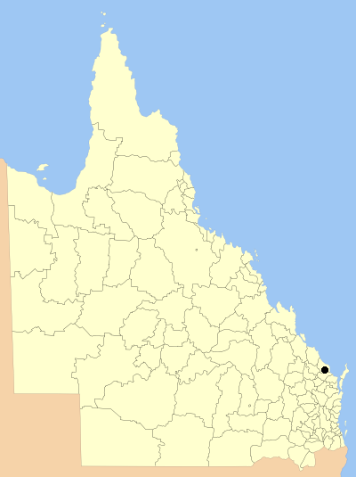
Location within QueenslandPopulation: 45,802(2006 census)[1] Established: 1860 Area: 95.5 km² (36.9 sq mi) Council Seat: Bundaberg Region: Wide Bay-Burnett State District: Bundaberg, Burnett Federal Division: Hinkler 
The City of Bundaberg was a Local Government Area located in the Wide Bay-Burnett region of Queensland, Australia, encompassing the centre and inner suburbs of the regional city of Bundaberg. The city covered an area of 95.5 square kilometres (36.9 sq mi), and existed as a local government entity in various forms from 1881 until 2008, when it amalgamated with several other councils in the surrounding area to form the Bundaberg Region.
Contents
History
Local government in the Bundaberg area began on 11 November 1879 with the creation of the Barolin Division as one of 74 divisions around Queensland under the Divisional Boards Act 1879. On 22 April 1881, a 4.1 square kilometres (1.6 sq mi) area with a population of 1,192 was split from the Division and incorporated as the "Municipality of Bundaberg" under the Local Government Act 1878. With the passage of the Local Authorities Act 1902, Barolin became a shire and Bundaberg a town on 31 March 1903. On 22 November 1913, Bundaberg was proclaimed a City.[2]
On 21 December 1917, the Shire of Barolin was abolished and its area split between the City of Bundaberg and the Shire of Woongarra.[3] Bundaberg grew to 45.2 square kilometres (17.5 sq mi) and was united with what was then its entire suburban extent.
On 21 November 1991, the Electoral and Administrative Review Commission, created two years earlier, produced its second report, and recommended that local government boundaries in the Bundaberg area be rationalised. The Local Government (Bundaberg and Burnett) Regulation 1993 was gazetted on 17 December 1993, and on 30 March 1994, a portion of the Woongarra (the rest of which was merged into the new Shire of Burnett) was transferred to the City, more than doubling its area and increasing its population by 8,200 in 1991 census terms.
On 15 March 2008, under the Local Government (Reform Implementation) Act 2007 passed by the Parliament of Queensland on 10 August 2007, the City of Bundaberg merged with the Shires of Burnett, Isis and Kolan to form the Bundaberg Region.
Suburbs
- Ashfield
- Avenell Heights
- Avoca
- Branyan
- Bundaberg Central
- Bundaberg East
- Bundaberg North
- Bundaberg South
- Bundaberg West
- Kalkie
- Kensington
- Kepnock
- Millbank
- Norville
- Svensson Heights
- Thabeban
- Walkervale
Population
Year Population 1921 9,276 1933 11,466 1947 15,926 1954 19,951 1961 22,839 1966 25,402 1971 27,324 1976 30,456 1981 30,937 1986 31,427 1991 32,737* 1996 42,554 2001 43,146 2006 45,901 * The population of the 1996 area in 1991 was 41,219.
Mayors
Main article: List of mayors of BundabergReferences
- ^ Australian Bureau of Statistics (25 October 2007). "Community Profile Series : Bundaberg (C) (Local Government Area)". 2006 Census of Population and Housing. http://www.censusdata.abs.gov.au/ABSNavigation/prenav/ProductSelect?newproducttype=Community+Profiles&collection=Census&period=2006&areacode=LGA31810&breadcrumb=LP¤taction=201&action=401. Retrieved 13 June 2011.
- ^ Queensland Government Gazette, Vol. CL, 22 November 1913, p.1422.
- ^ Queensland Archives. "Agency Details - Barolin Shire Council". http://www.archivessearch.qld.gov.au/Search/AgencyDetails.aspx?AgencyId=316. Retrieved 13 June 2011.
Coordinates: 24°51′53.89″S 152°20′55.15″E / 24.8649694°S 152.3486528°E
Categories:- Populated places established in 1860
- 1860 establishments in Australia
- Former Local Government Areas of Queensland
- Bundaberg
- Queensland geography stubs
Wikimedia Foundation. 2010.