- Shire of Tara
Infobox Australian Place | type = lga
name = Shire of Tara
state = qld
imagesize= 180
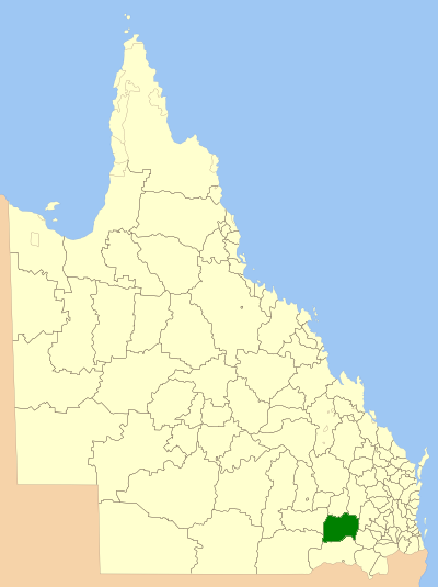
caption = Location withinQueensland
pop = 3,809 (2001 census)
density = 0.3
area = 11680
est = 1912
seat = Tara
region =Darling Downs

logosize = 200
url = http://www.tara.qld.gov.au/
near-nw = Warroo
near-n = Murilla
near-ne = Chinchilla
near-e = Millmerran
near-w = Warroo
near-sw = Balonne
near-s = Waggamba
near-se = MillmerranShire of Tara is a Local Government Area in the
Darling Downs region ofQueensland ,Australia . The shire was formed in 1912.Important industries in the shire include wheat, beef and wool. In recent years there have been large scale rural subdivisions developed in the shire. Prickly Pear infestation in the early 1900s had a devastating effect on the area that was only alleviated by the introduction of the cactoblastis moth.
Attractions in Tara include
Southwood National Park , a remnant area of the southern brigalow belt.Other towns in Tara Shire include Flinton, Glenmorgan, Meandarra, Moonie, The Gums and Westmar.
External links
* [http://www.lgp.qld.gov.au/applications/lgdirectory/CouncilInfo/Default.aspx?OrgCode=TARA Queensland Department of Local Government & Planning] - Local Government Directory.
Wikimedia Foundation. 2010.