- Shire of Eidsvold
Infobox Australian Place | type = lga
name = Shire of Eidsvold
state = qld
imagesize= 180
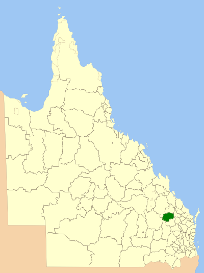
caption = Location withinQueensland
pop = 876
pop_footnotes = (2006 census) [Census 2006 AUS | id = LGA32950 | name = Eidsvold (S) (Local Government Area) | accessdate=2008-03-18|quick = on]
area = 4809.4
est = 1890
seat = Eidsvold
region =Wide Bay Burnett

logosize = 100
url = http://www.eidsvold.qld.gov.au/
near-nw = Banana
near-n = Monto
near-ne = Monto
near-e = Perry
near-w = Taroom
near-sw = Chinchilla
near-s = Mundubbera
near-se = GayndahThe Shire of Eidsvold was a Local Government Area located in the northern catchment of the
Burnett River ,Queensland ,Australia . The shire covered an area of convert|4809.4|km2|sqmi|1, and existed as a local government entity from 1890 until 2008, when it amalgamated with several other councils in the region to become theNorth Burnett Regional Council .The major activities in the shire were beef cattle raising and forestry, and some irrigated properties existed along the Burnett and
Nogo River s. Eidsvold was named after the Norwegian town ofEidsvoll , where the Norwegian declaration of freedom was signed in 1814.The shire is the self-proclaimed "Beef Capital of the Burnett" and is a hub for the regional cattle industry.
History
The Eidsvold Divisional Board was proclaimed on 25 January 1890, initially with a chairman and six councillors, and the first meeting took place on 14 May 1890. With the passage of the "Local Authorities Act 1902", it became a shire council on 31 March 1903. It initially included all of the
Shire of Monto , which split away on 5 March 1932. Following this, its administrative centre moved from Watt Street, Monto, back to Eidsvold and the council was reduced in size from 12 councillors to 5.Towns and Localities
* Eidsvold
* Abercorn
* Ceradotus
*Wuruma Dam Population
References
Wikimedia Foundation. 2010.