- DE postcode area
-
Derby postcode area 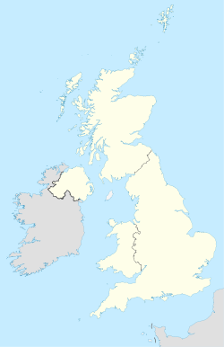
 DE
DEPostcode area DE Postcode area name Derby Post towns 11 Postcode districts 25 Postcode sectors 128 Postcodes (live) 16,634 Postcodes (total) 27,662 Statistics as at October 2006 [1] The DE postcode area, also known as the Derby postcode area,[2] is a group of postcode districts around Alfreton, Ashbourne, Bakewell, Belper, Burton upon Trent, Derby, Heanor, Ilkeston, Matlock, Ripley and Swadlincote in England.
Contents
Coverage
The approximate coverage of the postcode districts:
Adjacent areas
Adjacent postcode areas SK S 
ST  DE
DE 
NG WS 
B CV LE Clockwise from the east, the adjacent postcode areas are: NG (Nottingham), LE (Leicester), CV (Coventry), B (Birmingham), WS (Walsall), ST (Stoke-on-Trent), SK (Stockport), S (Sheffield).
See also
References
- ^ "National Statistics Postcode Directory" (PDF). Office for National Statistics Postcode Directory (November 2006). Office for National Statistics. November 2006. http://www.statistics.gov.uk/geography/downloads/NSPDVersionNotes.pdf. Retrieved 2009-05-29.
- ^ Royal Mail, Address Management Guide, (2004)
Postcode areas in the United Kingdom, Channel Islands and Isle of Man AB AL B BA BB BD BH BL BN BR BS BT BX CA CB CF CH CM CO CR CT CV CW DA DD DE DG DH DL DN DT DY E EC EH EN EX FK FY G GIR GL GU GY HA HD HG HP HR HS HU HX IG IM IP IV JE KA KT KW KY L LA LD LE LL LN LS LU M ME MK ML N NE NG NN NP NR NW OL OX PA PE PH PL PO PR RG RH RM S SA SE SG SK SL SM SN SO SP SR SS ST SW SY TA TD TF TN TQ TR TS TW UB W WA WC WD WF WN WR WS WV YO ZE
Coordinates: 52°54′N 1°30′W / 52.9°N 1.5°W
Categories:- Derby
- Postcode areas covering the East Midlands
- Post and philately stubs

Wikimedia Foundation. 2010.