- Draycott, Derbyshire
-
Coordinates: 52°53′40″N 1°20′29″W / 52.89442°N 1.34147°W
Draycott
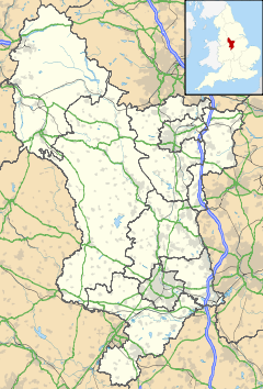
 Draycott shown within Derbyshire
Population 3,500 OS grid reference SK444332 Parish Draycott and Church Wilne District Erewash Shire county Derbyshire Region East Midlands Country England Sovereign state United Kingdom Post town DERBY Postcode district DE72 Dialling code 01332 Police Derbyshire Fire Derbyshire Ambulance East Midlands EU Parliament East Midlands UK Parliament Erewash List of places: UK • England • Derbyshire Draycott is a village in the Erewash district of Derbyshire, England. It lies around 6 miles east of Derby and 3 miles south-west of Long Eaton. Draycott is part of the civil parish of Draycott and Church Wilne. The meandering course of the River Derwent forms the southwestern boundary of the parish.
The route of the Derby Canal can still be traced across the parish. Trains on the Midland Main Line pass through the village but Draycott railway station is now closed.
'Saint Chad's Water at Church Wilne'[1].
Church Wilne is a hamlet about 0.7 miles south of Draycott in a relatively inaccessible location beside the Derwent. In medieval times Draycott and Church Wilne may have been of comparable sizes, but Draycott grew much larger because of its better communications. The Church Wilne Reservoir of the Severn Trent Water is nearby (it is actually in Breaston parish.) The reservoir is used for water sports[2] and as a nature reserve. Church Wilne is split from its larger twin hamlet, Great Wilne, by the River Derwent.
References
- ^ Image from Wikimedia Commons June 2007
- ^ Skiing at Church Wilne
External links
 Media related to Draycott, Derbyshire at Wikimedia CommonsCategories:
- Derbyshire geography stubs
- Villages in Derbyshire
Wikimedia Foundation. 2010.


