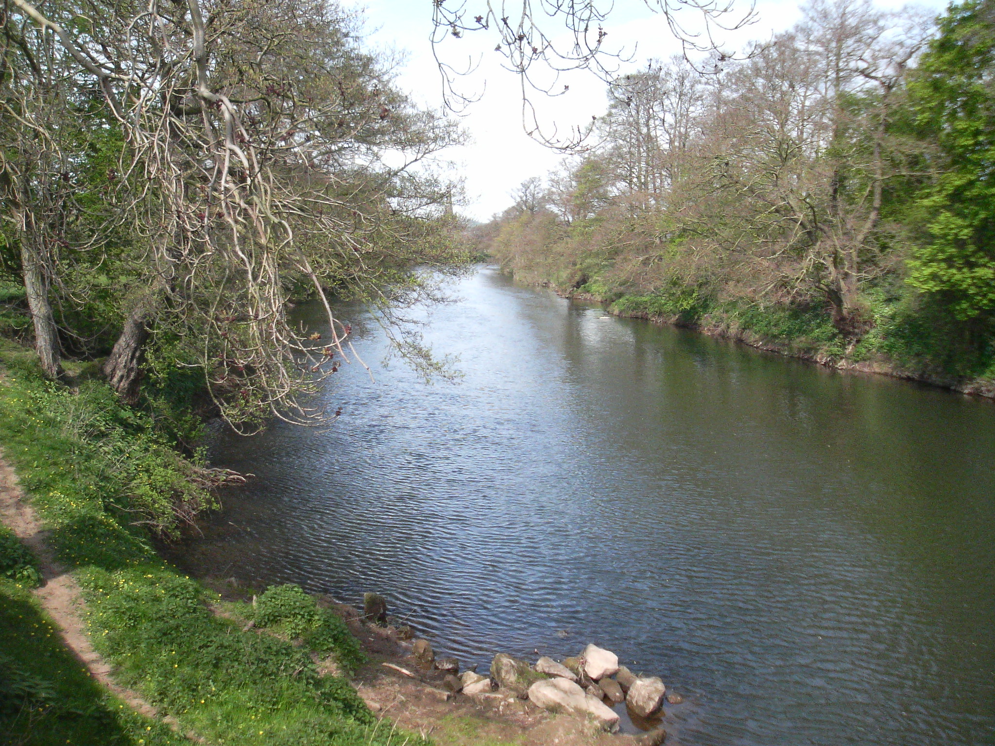
- River Derwent, Derbyshire
Geobox|River
name = River Derwent
native_name =
other_name =
other_name1 =

image_size =
image_caption = The River Derwent, just south of Duffield
etymology =
country = England
country_
country1 =
state =
state1 =
region = Derbyshire
region_type = Counties
region1 =
district =
district1 =
city =
city1 =
landmark =
landmark1 =
length = 80
watershed =
discharge_location =
discharge =
discharge_max =
discharge_min =
discharge1_location =
discharge1 =
source_name =
source_location =Bleaklow east ofGlossop
source_district =
source_region =
source_state =
source_country =
source_lat_d =
source_lat_m =
source_lat_s =
source_lat_NS =
source_long_d =
source_long_m =
source_long_s =
source_long_EW =
source_elevation =
source_length =
mouth_name =
mouth_location = confluence withRiver Trent
mouth_district =
mouth_region =
mouth_state =
mouth_country =
mouth_lat_d =
mouth_lat_m =
mouth_lat_s =
mouth_lat_NS =
mouth_long_d =
mouth_long_m =
mouth_long_s =
mouth_long_EW =
mouth_elevation =
tributary_left =
tributary_left1 =
tributary_right =River Westend ,River Ashop
tributary_right1 =River Noe , River Wye
free_name =
free_value =
map_size =
map_caption =:"For other rivers called Derwent, see
River Derwent ."The Derwent is a
river in thecounty ofDerbyshire ,England . It is 50 miles (80 km) long and is atributary of theRiver Trent which it joins south ofDerby .Route
It rises in the
Peak District atBleaklow just east ofGlossop and flows through theUpper Derwent Valley with its three reservoirs, theHowden Reservoir , Derwent Reservoir andLadybower Reservoir . It then passes throughBamford ,Hathersage ,Grindleford andBaslow , and through theChatsworth Park estate, and it is joined by the River Wye. After passing throughDarley Dale , the Derwent reaches Matlock, before flowing pastCromford and through the Crich ChaseNature Reserve . The River Derwent suppliesCarsington Reservoir indirectly, with the water pumped from the river at Ambergate Pumping Station in times of high flow, and then released when flows are low via the same 6.5 mile (10.5km) of tunnels and aqueducts built by Severn Trent Water. This allows greater abstraction rates upstream in the drier summer months. [http://www.moretoexperience.co.uk/server.php?show=nav.6019] The river ends atDerwent Mouth , convert|1|mi|km|sing=on east ofShardlow , where it flows into theRiver Trent .Industry
The river was used to power many
cotton mills in theDerwent Valley Mills area around Matlock and Cromford.It is the habitat for many different animals such as otters and fish.
It also provides the name for the oldest
field hockey club inDerbyshire . Derwent Hockey Club, established in 1897, played its matches on the banks of the Derwent inDarley Dale , before locating toWirksworth .The name "Derwent" is CelticFact|date=May 2008 and means "a valley thick with oaks"Fact|date=May 2008.
Other tributaries
*
Overdale Brook
*Dunge Brook
*High Brook
*Stoke Brook
*Rymas Brook ee also
*
List of rivers of England
*Rivers of the United Kingdom References
External links
* [http://www.stwater.co.uk/server.php?show=nav.5606 Severn Trent Web Site]
Wikimedia Foundation. 2010.

