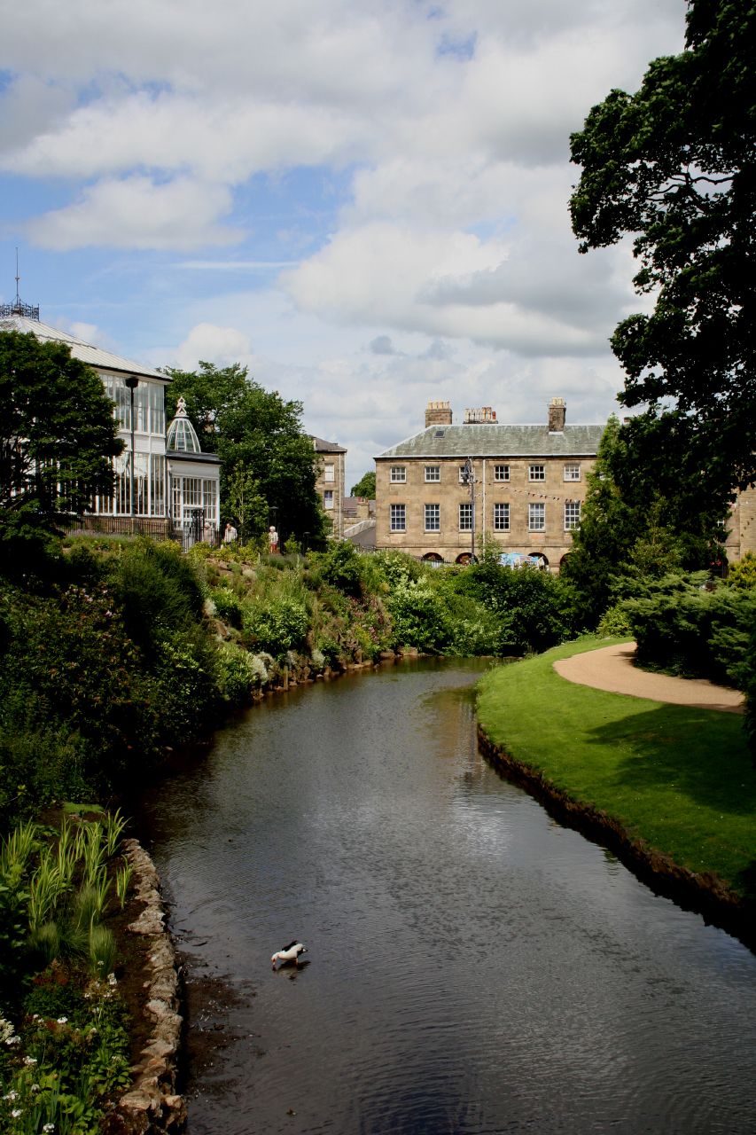
- River Wye, Derbyshire
Geobox|River
name = River Wye
native_name =
other_name =
other_name1 =

image_size =
image_caption = River Wye in Buxton
etymology =
country = England
country_
country1 =
state =
state1 =
region = Derbyshire
region_type = County
region1 =
district =
district1 =
city =
city1 =
landmark =
landmark1 =
length = 24
watershed =
discharge_location = Ashford (grid ref:Oscoor|SK182696|SK182696)
discharge = 3.25
discharge_note = [cite web |title=National River Flow Archive - 28023 - Wye at Ashford |url= http://www.nwl.ac.uk/ih/nrfa/station_summaries/028/023.html |accessdate=2008-01-02 ]
discharge_max =
discharge_min =
discharge1_location =
discharge1 =
source_name =
source_location =Axe Edge Moor
source_district =
source_region =Derbyshire
source_state =
source_country =
source_lat_d =
source_lat_m =
source_lat_s =
source_lat_NS =
source_long_d =
source_long_m =
source_long_s =
source_long_EW =
source_elevation =
source_length =
mouth_name =
mouth_location = confluence with River Derwent atRowsley
mouth_district =
mouth_region =Derbyshire
mouth_state =
mouth_country =England
mouth_lat_d = 53
mouth_lat_m = 11
mouth_lat_s = 08
mouth_lat_NS = N
mouth_long_d = 01
mouth_long_m = 36
mouth_long_s = 46
mouth_long_EW = W
mouth_elevation =
tributary_left =
tributary_left1 =
tributary_right =
tributary_right1 =
free_name =
free_value =
map_size =
map_caption =:"For other rivers named "Wye", see
River Wye (disambiguation) "The River Wye is ariver inDerbyshire ,England . It is convert|15|mi|0|lk=on in length, [ [http://www.derbyshireuk.net/river_wye.html River Wye Information.] Retrieval Date: 29 August, 2007.] and is one of the major tributaries of the River Derwent, which flows into theRiver Trent , and ultimately into theHumber and theNorth Sea .The river source lies just west of
Buxton , onAxe Edge Moor . It then flows east, along a route roughly followed by theA6 road . It enters thePeak District , flows just south ofTideswell , then throughAshford in the Water andBakewell , and south ofHaddon Hall , before meeting the River Derwent atRowsley .The main tributary of the river is the
River Lathkill , which enters approximately one mile from its mouth.A pleasant walk is possible alongside much of the length of the river, mostly following an abandoned railway line, part of which today is the
Monsal Trail . InMonsal Dale the railway line emerges from a tunnel at Monsal Head, over a viaduct high above the river below. When this structure was builtJohn Ruskin was enraged, and spoke of the Gods being banished by a scheme intended to convey 'every Buxton fool to Bakewell in half an hour' and vice versa - 'and you call this lucrative exchange - you fools everywhere' - it is thus an irony of progress that the railway is now gone and the viaduct is itself a 'listed' structure which is considered to add drama to the dale.ee also
*
Rivers of the United Kingdom
*List of rivers in England Notes and References
Wikimedia Foundation. 2010.

