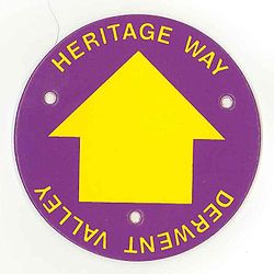
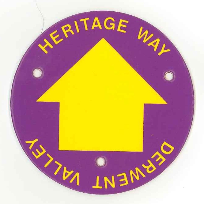
Derwent Valley Heritage Way
Look at other dictionaries:
Derwent Valley — can refer to: United Kingdom The valley of the River Derwent, Derbyshire , also: Upper Derwent Valley in Derbyshire Derwent Valley Mills a historic factory site. Derwent Valley Line a railway line Derwent Valley Heritage Way Derwent Valley Water… … Wikipedia
Derwent Valley Mills — Derwent Valley Mills * UNESCO World Heritage Site Country Unit … Wikipedia
Derwent Valley Line — This article is about a railway line in Derbyshire. For other railways with this name, see Derwent Valley Railway (disambiguation). Derwent Valley Line A Class 153 Sprinter running on the line Overview Type … Wikipedia
List of British heritage and private railways — This list of British heritage and private railways is intended as a list of railways in Great Britain and the Channel Islands that are privately owned or kept, built and run for heritage. For rail museums, see List of British railway museums.… … Wikipedia
Crewe Heritage Centre — Coordinates: 53°05′41″N 2°26′17″W / 53.0946°N 2.43818°W / 53.0946; 2.43818 … Wikipedia
Long-distance footpaths in the United Kingdom — The following long distance footpaths can be found in the United Kingdom:England and Wales: National TrailsNational Trails are distinguished by being maintained by the National Trails organization [http://www.nationaltrail.co.uk/] . As of|April… … Wikipedia
Cromford Wharf — For Cromford Goods Wharf (at High Peak Junction), or Wharf Shed, see High Peak Junction. A former transit shed at Cromford Wharf … Wikipedia
Peak District — Geobox|Protected Area name = Peak District native name = other name = other name1 = category local = National Park of England category iucn = V |240px image size = image caption = Peak District entrance stone on Hathersage Road, Sheffield country … Wikipedia
Chatsworth House — across the River Derwent, with the Hunting Tower visible above Chatsworth House is a stately home in North Derbyshire, England, 3.5 miles (5.6 km) northeast of Bakewell and 9 miles (14 km) west of Chesterfield (GB Grid SK260700). It is… … Wikipedia
Manchester, Buxton, Matlock and Midland Junction Railway — This view of the Headstone Viaduct across Monsal Dale typifies the country through which the line passed … Wikipedia