- Overijssel
-
Overijssel — Province — 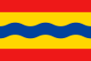
Flag
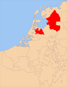
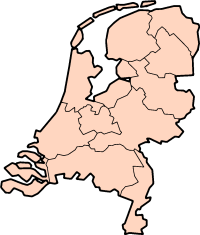
Coat of armsAnthem: Aan de rand van Hollands gouwen Location of Overijssel in the Netherlands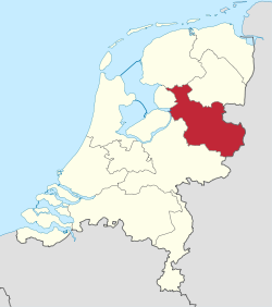
Country Netherlands Capital Zwolle Largest city Enschede Government – Queen's Commissioner Ank Bijleveld Area – Land 3.327 km2 (1.3 sq mi) – Water 94 km2 (36.3 sq mi) Area rank 4th Population (2006) – Land 1,113,529 – Rank 7th – Density 334,694.6/km2 (866,855.1/sq mi) – Density rank 7th ISO 3166 code NL-OV Religion (2006) Non-religious 37%
Protestants 29%
Catholic 26%
Muslim 2%
Others 6%Website www.overijssel.nl Overijssel (Dutch pronunciation: [ˌoˑvərˈɛi̯səl] (
 listen)) (Dutch Low Saxon: Oaveriessel) is a province of the Netherlands in the central eastern part of the country. The region has a NUTS classification of NL21. The province's name means "Lands across river IJssel". The capital city of Overijssel is Zwolle and the largest city is Enschede. The province has a population of 1,113,529 inhabitants.
Contents
Geography
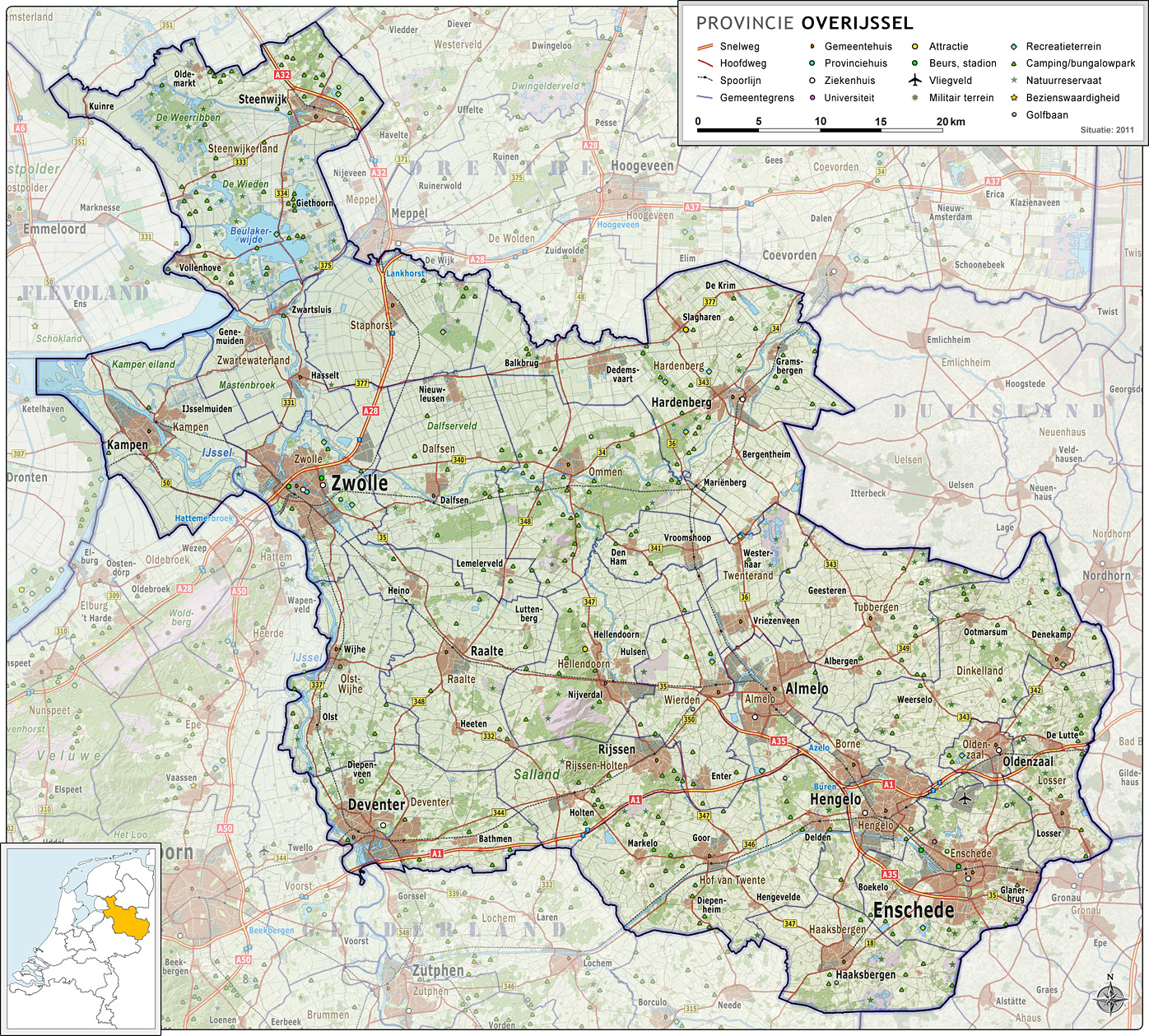
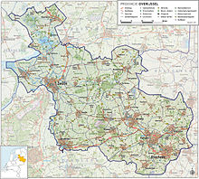 Map of Overijssel
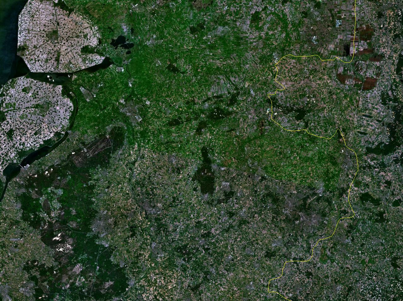
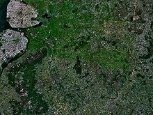 Satellite photograph of Overijssel
Overijssel is bordered by Germany to the east, the Achterhoek region of Gelderland to the south, the Veluwe region of Gelderland and Flevoland to the west, and Friesland and the former moors of Drenthe to the north. Overijssel comprises three regions: Kop van Overijssel in the northwest, Salland in the centre of the province, and Twente in the east. Besides the capital Zwolle, the major cities are Almelo, Deventer, Enschede, and Hengelo.
To the southeast, the province's surface is mostly sandy, interspersed with small rivers such as the Regge and Dinkel and other brooks. In the northwest, the geology is dominated by sediments from the Overijsselse Vecht and clay. The northern parts were once covered by veen (bogs) which separated the dryer and more arable south from Drenthe and which have been exploited as fuel to a large degree. Only small patches survive today (Engbertsdijksvenen near Tubbergen, Witteveen (near Haaksbergen), and the Aamsveen (near Enschede). The extreme northwest is dominated by a system of lakes formed by former peat-mining, the Weerribben, which is a valuable wetland.
The highest point in Overijssel is the summit of the Tankenberg, a hill in the municipality of Losser, at 89 metres (295 ft). The lowest point is in the Mastenbroek Polder near Kampen at 2 metres (6 ft) below sea level.
History
 Map of the Archbishopric of Utrecht around 1350, when present-day Overijssel was part of the region Oversticht
During its early history, Overijssel was formerly known as Oversticht and also included much of modern-day Drenthe. In 1336, it was made part of Guelders, though it was ceded to the Bishopric of Utrecht in 1347 and was known as het Sticht. The Bishops ceded the Oversticht to the Emperor Charles V in 1528, who styled himself "Lord of Overijssel", thereby giving the province its modern name. The people joined with the other Dutch and rebelled against Charles' heir Philip II. Overijssel became governed by the most powerful mayors and lords in the province.
After a brief occupation by the forces of the Bishop of Münster (1672–74), Overijssel received a new form of government which granted the stadtholders more power. Widespread resistance against the increased power throughout the provinces eventually led to the formation of the Batavian Republic in 1795. A centralist government arose and the Netherlands was organised into a series of départements, based on those used by revolutionary France. At first organised into its own département, it was merged with Drenthe in 1798 to form Ouden IJssel, which was renamed Overijssel in 1801.
The French annexed the Batavian Republic in 1810, and Overijssel was organised into the new French département of Bouches-de-l'Yssel. After the defeat of Napoleon in 1814, the kingdom of the Netherlands and the former province of Overijssel were recreated. Overijssel was occupied by Nazi Germany during World War II from May 1940 until its liberation in April 1945. The Noordoostpolder, which had been laid dry in 1942, was part of Overijssel from 1962 until 1986, when it became part of the newly created province of Flevoland.
Government
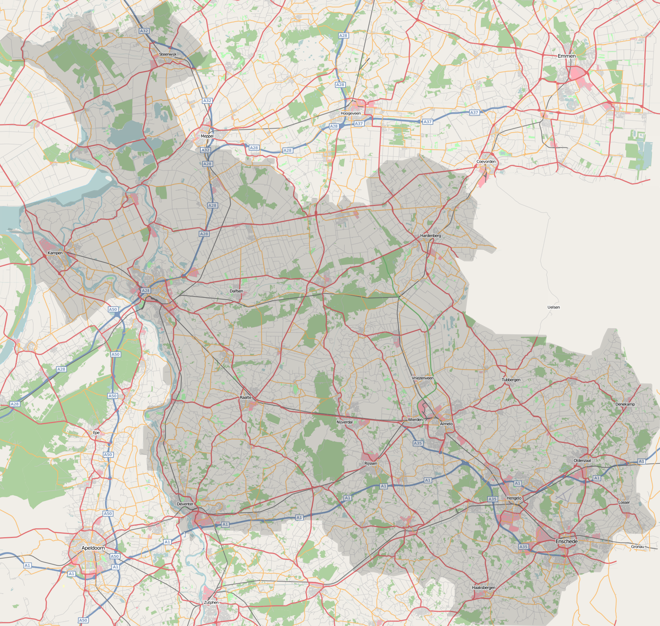
 Map of Overijssel
The Queen's Commissioner of Overijssel is Geert Jansen. He is the chairman of the States-Deputed (executive branch) and the States-Provincial (elected parliament) of Overijssel.
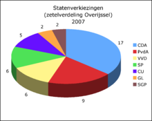
2007 election results Political party Votes in % Seats Christian Democratic Appeal 34,1 17 Dutch Labour Party 17,9 9 People's Party for Freedom and Democracy 13,6 6 Socialist Party (Netherlands) 11,8 6 ChristianUnion 10,4 5 GreenLeft 4,3 2 Reformed Political Party 3,5 2 Democrats 66 1,6 - Pim Fortuyn List 0,4 - Total 47 Municipalities

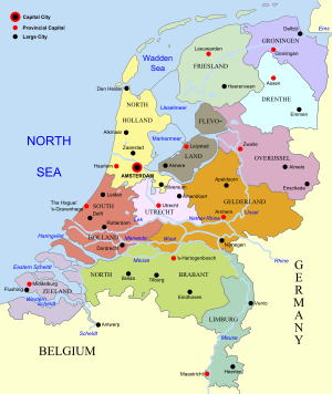 Map of the Netherlands, linking to the province articles; red dots mark provincial capitals and black dots other notable cities or towns.
See also
- Tanfana
- Overisel Township, Michigan, USA was named after Overijssel
External links
 Provinces of the NetherlandsProvinces
Drenthe · Flevoland · Friesland · Gelderland · Groningen · Limburg · North Brabant · North Holland · Overijssel · South Holland · Utrecht · Zeeland


 Burgundian Circle (1512–1806) of the Holy Roman EmpireRemained
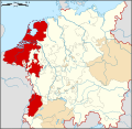
County Imperial City Besançon3Dependent territories Categories:- Overijssel
- Provinces of the Netherlands
- NUTS 2 statistical regions of the European Union
- Seventeen Provinces
- Burgundian Circle


Wikimedia Foundation. 2010.