- Manitoba Highway 16
-
Highway 16

Yellowhead Highway Route information Length: 273 km (170 mi) Major junctions West end: Saskatchewan border near Harrowby
continues as Hwy 16 PTH 83
 PTH 45
 PTH 41
 PTH 42
 PTH 21
 PTH 10
 PTH 5
PTH 5
 PTH 34
 PTH 50
East end:  PTH 1 / PR 305 west of Portage La Prairie
Location Towns: Russell, Binscarth, Shoal Lake, Minnedosa, Neepawa, Gladstone Highway system ←  PTH 15
PTH 16A → Provincial Trunk Highway 16 (PTH 16) is a provincial highway in the Canadian province of Manitoba. It is the Manitoba section of the Yellowhead Highway, and also the Trans-Canada Highway Yellowhead section. The main purpose of this highway is to connect Winnipeg with other Canadian cities such as Saskatoon and Edmonton. The highway runs from Bloom at an intersection with the Trans Canada Highway and Provincial Road 305 10 km west of Portage la Prairie to the Saskatchewan boundary 16 km west of Russell, where it continues as Saskatchewan Highway 16.
The highway is two lanes through Manitoba, with two small divided sections at the north and south junctions with PTH 10 around Minnedosa, which it runs in concurrence with just west of the town. Twinning and upgrading to expressway status is being planned in the future.
Route History
The route was known as PTH 4 until 1977, when it was renumbered to allow the entire length of the Yellowhead Highway to retain the number 16 designation across all four provinces of western Canada.
The highway has had some reconfigurations in its time, particularly around Minnedosa as well as between Shoal Lake and Foxwarren.
In the Minnedosa area, the section of highway from PTH 16A and Franklin Road as well as the section from PTH 10 north to Basswood was constructed in the early 1940s. Prior to this, the highway turned north for two kilometres and then west past the hamlet of Franklin. It then entered Minnedosa from the east along what is 2nd Avenue SE, meeting PTH 10 south in the town centre. It then shared the highway to a point three kilometres north of its current junction with PTH 10 north at what is now the turnoff to the Ski Valley Recreation Area. PTH 4 would then turn west and rejoin the current configuration just east of Basswood. After this reconfiguration, PTH 4 met southbound PTH 10 two kilometres south of Minnedosa and then shared the highway through the town to its current northbound/westbound junction. The highway was extended two kilometers farther west in 1971 to its current junction with southbound PTH 10 with the construction of the Minnedosa bypass.
The current section between Shoal Lake and the southbound junction of PTH 83 was constructed in the early 1960s. Prior to this, PTH 4 would meet PTH 21 in Shoal Lake (northbound PTH 21 ended at this point). The highway would continue west along what is now PTH 42 to meet PTH 83 south at Birtle. The two highways would then run in concurrence from Birtle to the current junction seven kilometers east of Foxwarren, where it would then rejoin its current configuration.
Travel Route
This is the travel route for Provincial Trunk Highway 16 (PTH 16) from west to east:
km Municipality Location Interescting highway Notes 0 Russell R.M. Saskatchewan - Manitoba border Manitoba leg of Yellowhead Highway begins 3 Harrowby Road 16 Russell PTH 83 north – Roblin, Benito, Swan Riverbegin PTH 83 south concurrence 17 PTH 45 east – Rossburn, Oakburn, EricksonPTH 16/83 turns south 20 PR 579 west – Millwood 23 Mile 112N formerly PR 479 east 33 Binscarth PR 478 – Silverton, Esterhazy 36 PTH 41 south – St. Lazare, McAuley, KirkellaPTH 16/83 turns southeast 37 Ellice R.M. /
Russell R.M.PR 359 east – Rossburn 49 Birtle R.M. Foxwarren PR 475 west PTH 16/83 turns east 56 PTH 83 south – Birtle, Miniota, Virdenend PTH 83 south concurrence 60 PR 476 north – Angusville 68 PR 472 south – Solsgirth formerly PR 474 south 78 PR 264 north – Rossburn begin PR 264 south concurrence
PR 264 was formerly PR 25482 Shoal Lake R.M. PR 264 south – Decker, Crandall end PR 264 south concurrence 88 Vista Road formerly PR 472 north 95 Shoal Lake PTH 42 west – Birtle, St. Lazare96 PTH 21 – Oakburn, Hamiota, Hartney103 Strathclair R.M. Green Bluff Road / Menzie Road formerly PR 470 110 Strathclair PR 354 south – Oak River begin PR 354 north concurrence 114 PR 354 north – Elphinstone end PR 354 north concurrence 124 Harrison R.M. Newdale PR 250 south – Rivers begin PR 250 north concurrence 126 PR 250 north – Sandy Lake end PR 250 north concurrence 127 Mile 91N formerly PR 473 east 139 Saskatchewan R.M. Basswood PR 270 – Rackham, Rapid City 149 Minto R.M. Minnedosa PTH 10 north – Erickson, Wasagaming, Dauphin
PTH 16A east – MinnedosaPTH 16 turns south
begin PTH 10 south concurrence151 PR 355 – Minnedosa, Cardale PR 355 east enters Minnedosa as 6th Avenue NW 155 Odanah R.M. PTH 10 south – Brandon, BoissevainPTH 16 turns east
end PTH 10 south concurrence157 PTH 16A north / PR 262 – Minnedosa 169 PR 466 south 171 Langford R.M. Franklin Road formerly PR 466 north 177 PR 464 south – Brookdale 187 Neepawa PTH 5 north – McCreary, Ste. Rose du Lac, Dauphinbegin PTH 5 south concurrence 188 PTH 5 south – Carberry, Glenboro, Cartwrightend PTH 5 south concurrence 203 Lansdowne R.M. PR 352 – Birnie, Arden, Edrans 215 Westbourne R.M. PR 260 north – Plumas 225 Gladstone PTH 34 south – Austin, Holland, Pilot MoundPembroke Rd. (formerly PR 460 north) also intersects here 237 Woodside PR 350 south – Katrime, MacGregor 245 PTH 50 north – Langruth, Alonsa, McCreary252 Westbourne PR 242 south – Bagot, Treherne, Somerset begin PTH 242 north concurrence 254 PR 242 north – Lynch’s Point end PR 242 north concurrence 256 Portage la Prairie R.M. PR 227 east – Warren 266 Macdonald 267 Mile 71N formerly PR 249 east
PTH 16 turns south towards PTH 1273 Bloom PTH 1 (TCH) – Winnipeg, Portage la Prairie, Brandon
PR 305 south – Hood BridgePTH 16 ends
unnumbered Yellowhead Highway turns east and follows PTH 1 to WinnipegAlternate routes
- Minnedosa - Highway 16A
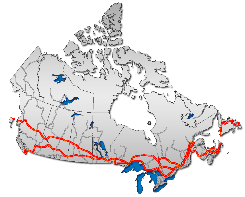
Highways in Manitoba Primary Secondary Winnipeg City Routes  Portions of the Trans-Canada Highway
 British Columbia: Highway 1 • Highway 5 • Highway 16 | Alberta: Highway 1 • Highway 16
Saskatchewan: Highway 1 • Highway 16 | Manitoba: Highway 1 • Highway 16 • Highway 100
Ontario: Highway 17 • Highway 69 • Highway 400 • Highway 12 • Highway 7 • Highway 71 • Highway 11 • Highway 66 • Highway 417
Quebec: Autoroute 40 • Autoroute 25 • Autoroute 20 • Autoroute 85 • Route 185 • Route 117 • Autoroute 15
New Brunswick: Route 2 • Route 16 | Confederation Bridge | Prince Edward Island: Route 1 | Nova Scotia: Highway 104 • Highway 105 • Highway 106
Newfoundland: Route 1 Category ·
  Portal ·
  WikiProjectCategories:
- Manitoba provincial highways
- Trans-Canada Highway
- Yellowhead Highway
- Manitoba road stubs


Wikimedia Foundation. 2010.