- Dinkelsbühl
-
The title of this article contains the character ü. Where it is unavailable or not desired, the name may be represented as Dinkelsbuehl.
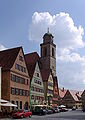
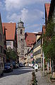
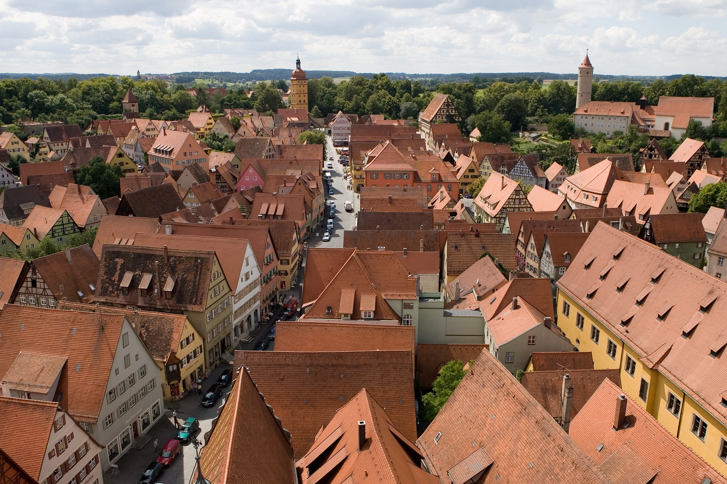
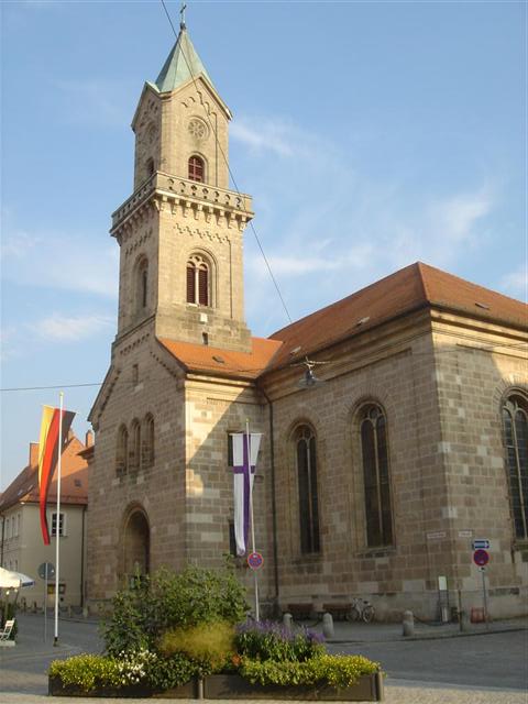
Dinkelsbühl View of the old town from the church tower


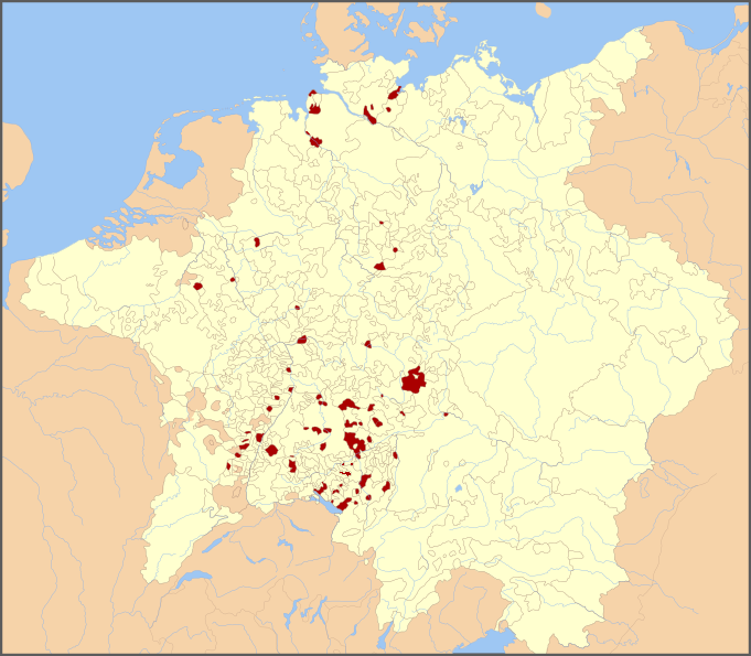
 DinkelsbühlLocation of the town of Dinkelsbühl within Ansbach district
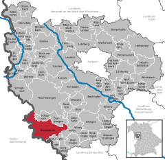
Coordinates 49°4′15″N 10°19′10″E / 49.07083°N 10.31944°ECoordinates: 49°4′15″N 10°19′10″E / 49.07083°N 10.31944°E Administration Country Germany State Bavaria Admin. region Middle Franconia District Ansbach Lord Mayor Dr. Christoph Hammer (CSU) Basic statistics Area 75.19 km2 (29.03 sq mi) Elevation 442 m (1450 ft) Population 11,482 (31 December 2010)[1] - Density 153 /km2 (396 /sq mi) Other information Time zone CET/CEST (UTC+1/+2) Licence plate AN Postal code 91550 Area code 09851 Website dinkelsbuehl.de Mixed Imperial City of Dinkelsbühl
Paritätische Reichsstadt DinkelsbühlFree Imperial City of the Holy Roman Empire ← 
1351–1802  →
→Capital Dinkelsbühl Government Republic Historical era Middle Ages - City founded before 1083 - Gained Reichsfreiheit 1351 - Peace of Augsburg September 25, 1555 - Thirty Years' War 1618–48 - Peace of Westphalia 1648 - Mediatised to Bavaria 1802 Dinkelsbühl is a historic city in Bavaria, Germany and a former Free imperial city of the Holy Roman Empire. Now it belongs to the district of Ansbach, north of Aalen.
Contents
History
Fortified by the emperor Henry V, Dinkelsbühl received in 1305 the same municipal rights as Ulm, and obtained in 1351 the position of a Free Imperial City. Its municipal code, the Dinkelsbühler Recht, published in 1536, and revised in 1738, contained a very extensive collection of public and private laws.
During the Protestant Reformation, Dinkelsbühl was notable for being — eventually along only with Ravensburg, Augsburg and Biberach an der Riß — a Mixed Imperial City (German: Paritätische Reichsstadt) where the Peace of Westphalia caused the establishment of a joint Catholic–Protestant government and administrative system, with equality offices (German: Gleichberechtigung) and a precise and equal distribution between Catholic and Protestant civic officials. This status ended in 1802, when these cities were annexed by the Kingdom of Bavaria
Every summer Dinkelsbühl celebrates the city's surrender to Swedish Troops during the Thirty Years' War. This reenactment is played out by many of the town's residents. It features a whole array of Swedish troops attacking the city gate and children dressed in traditional garb coming to witness the event. Paper cones full of chocolate and candy are given as gifts to children. This historical event is called the "Kinderzeche" and can in some aspects be compared with the "Meistertrunk" in Rothenburg. The name is derived from the German word for "child", and is called such because of the legend that a child saved the town from massacre by the Swedish Troops during the surrender. The legend tells that when the Swedish army besieged the town, a teenage girl took the children for begging the general for mercy. The Swedish general had recently lost his young son to illness, and a boy who approached him so closely resembled his own son that he decided to spare the town.
The film, "The Wonderful World of the Brothers Grimm" (1962), was filmed on location in Dinkelsbühl.
Main sights
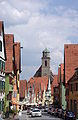
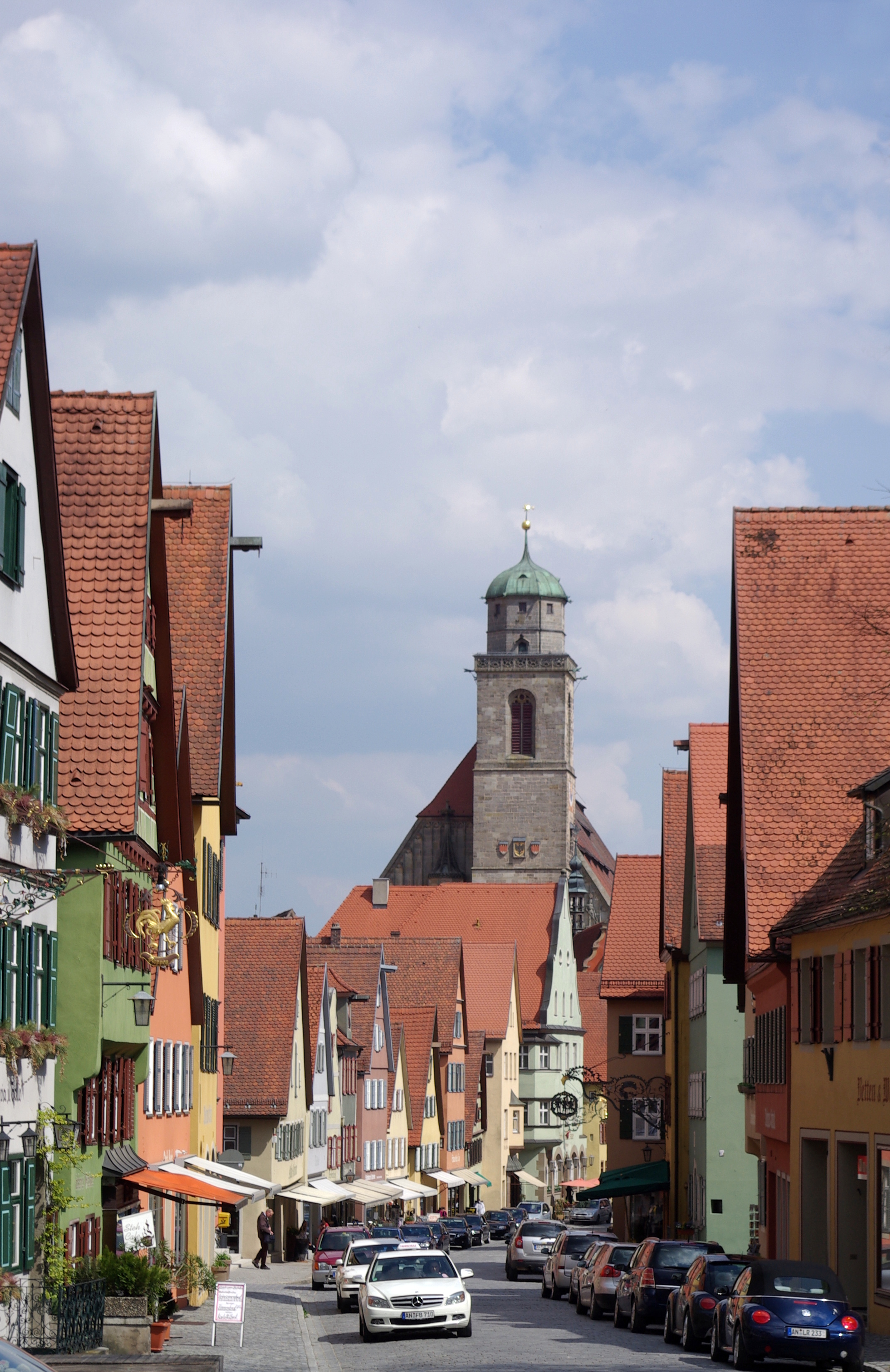
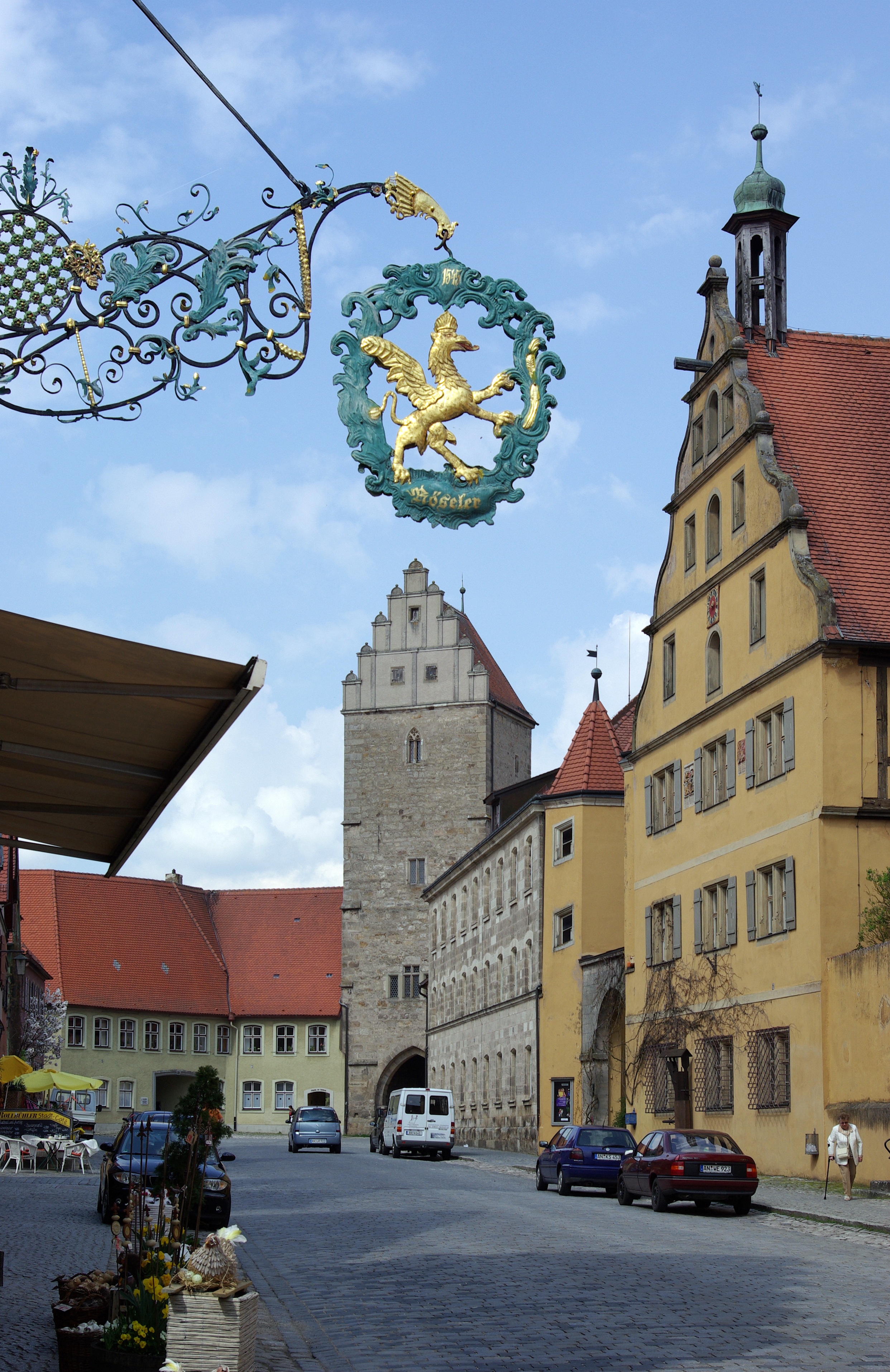
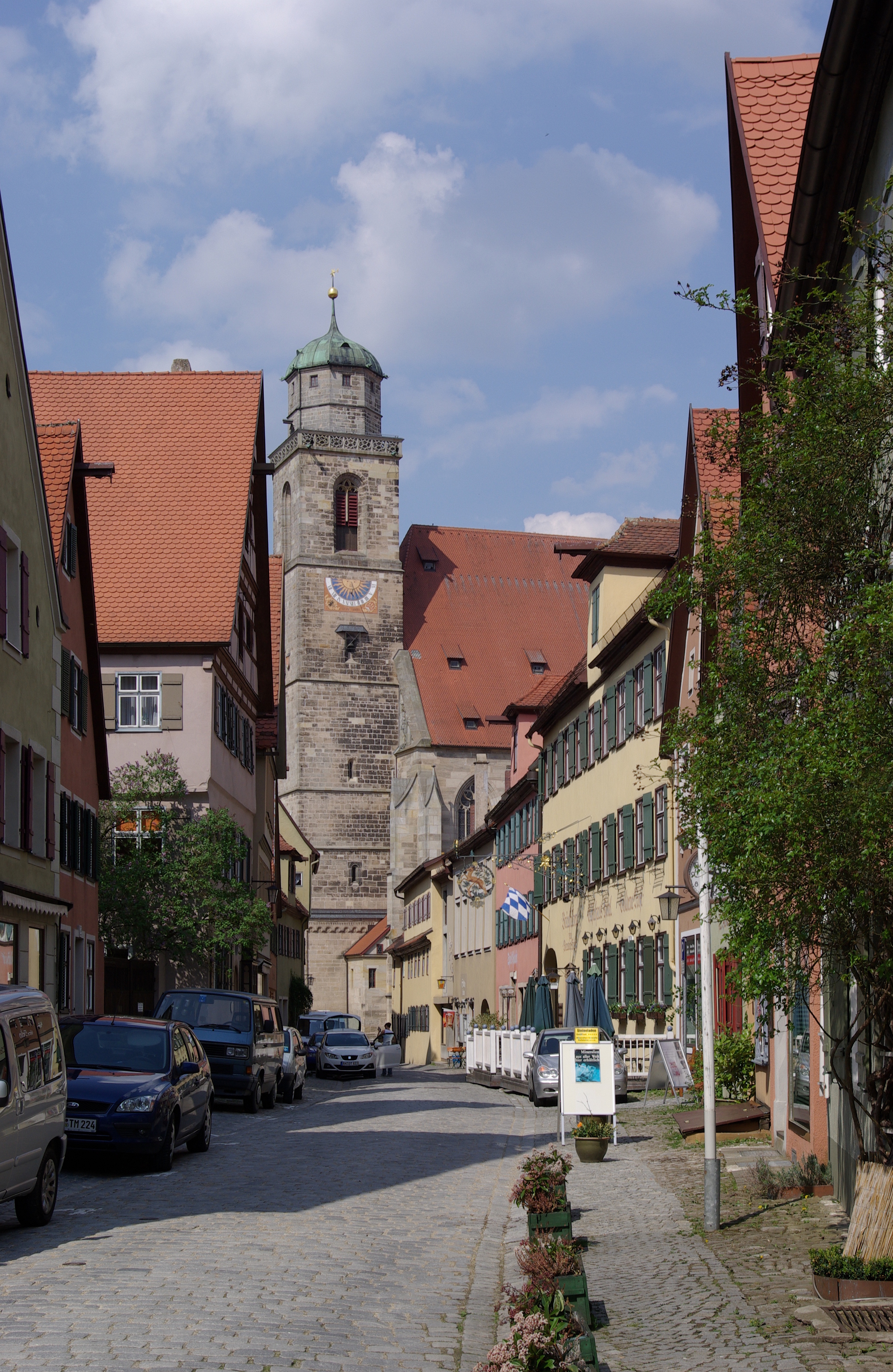
Dinkelsbühl is still surrounded by the old medieval walls and towers. There exist a lot of outstanding attractions. The image of this town is very typical for a German town of the 15th to early 17th century.
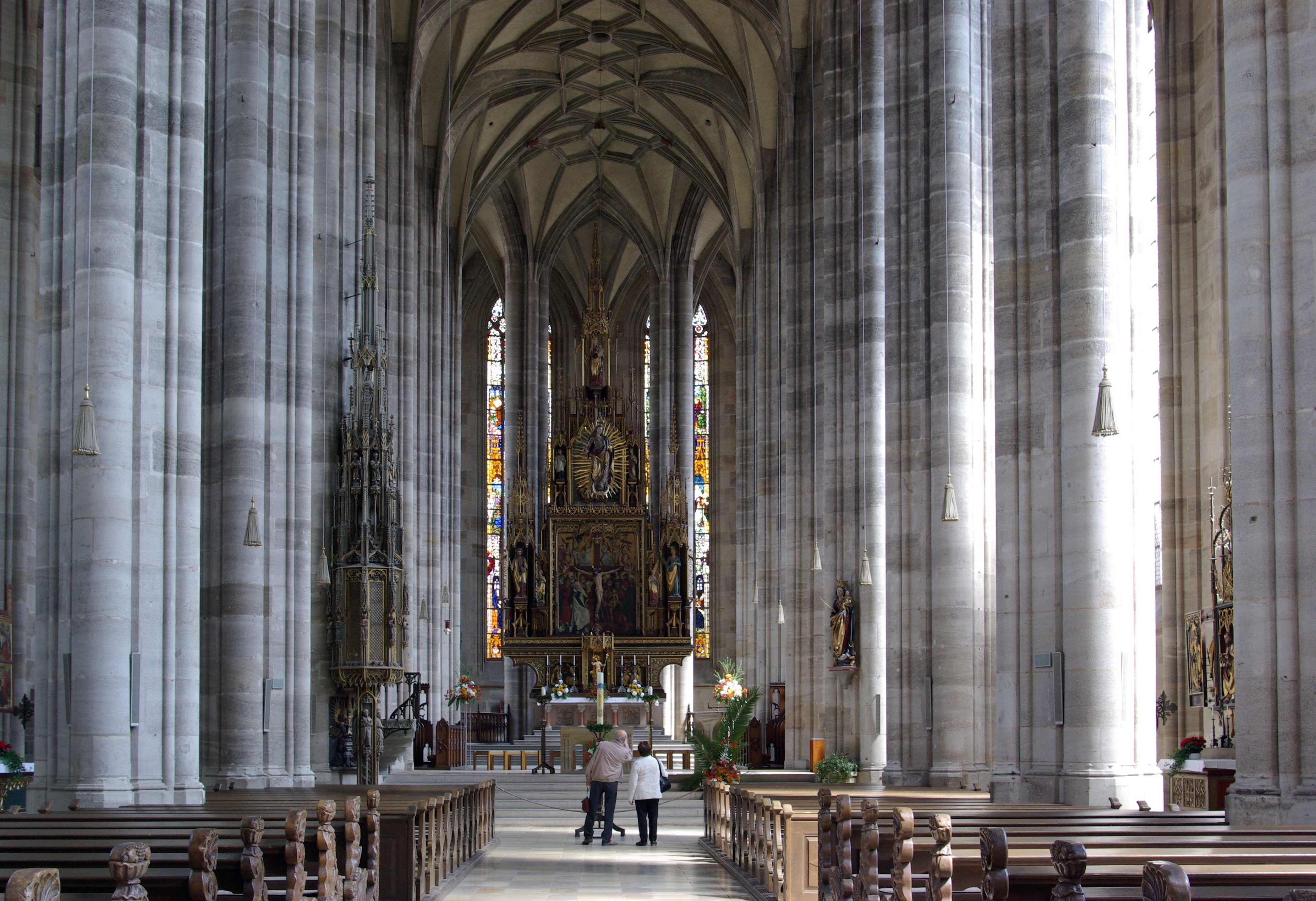
- St. George's Minster is a beautiful masterpiece of the gothic style in the late 15th century ( by Nikolaus Eseler )
- St. Paul's, now a Protestant church, was rebuilt in the 19th century in the style of the far late Roman architectural style.
Originally it was part of a former monastery.
- the Castle of the Teutonic Order, with a rococo chapel
- The so-called Deutsches Haus, the ancestral home of the counts of Drechsel-Deufstetten, is a fine specimen of the German renaissance style of wooden architecture.
- situated in front of the Minster is the monument to Christoph von Schmid (1768-1854), a 19th century writer of stories for the young
- Museum of the 3rd Dimension, the former city mill
- the former Historical Museum, is showing historical findings and reconstructions of ancient houses of the city. Since 2008 the complete museum has a new domicile in the so called "Steinerne Haus" from the 14th century. The official name is now: "house of history". The presentation is complete new.
- the church of St. Vincent, 2 km outside the city
People from Dinkelsbühl
Stefan Reuter, football world champion in 1990, was born in Dinkelsbühl in 1966.
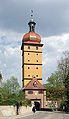
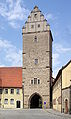
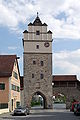
Gallery
-
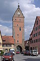
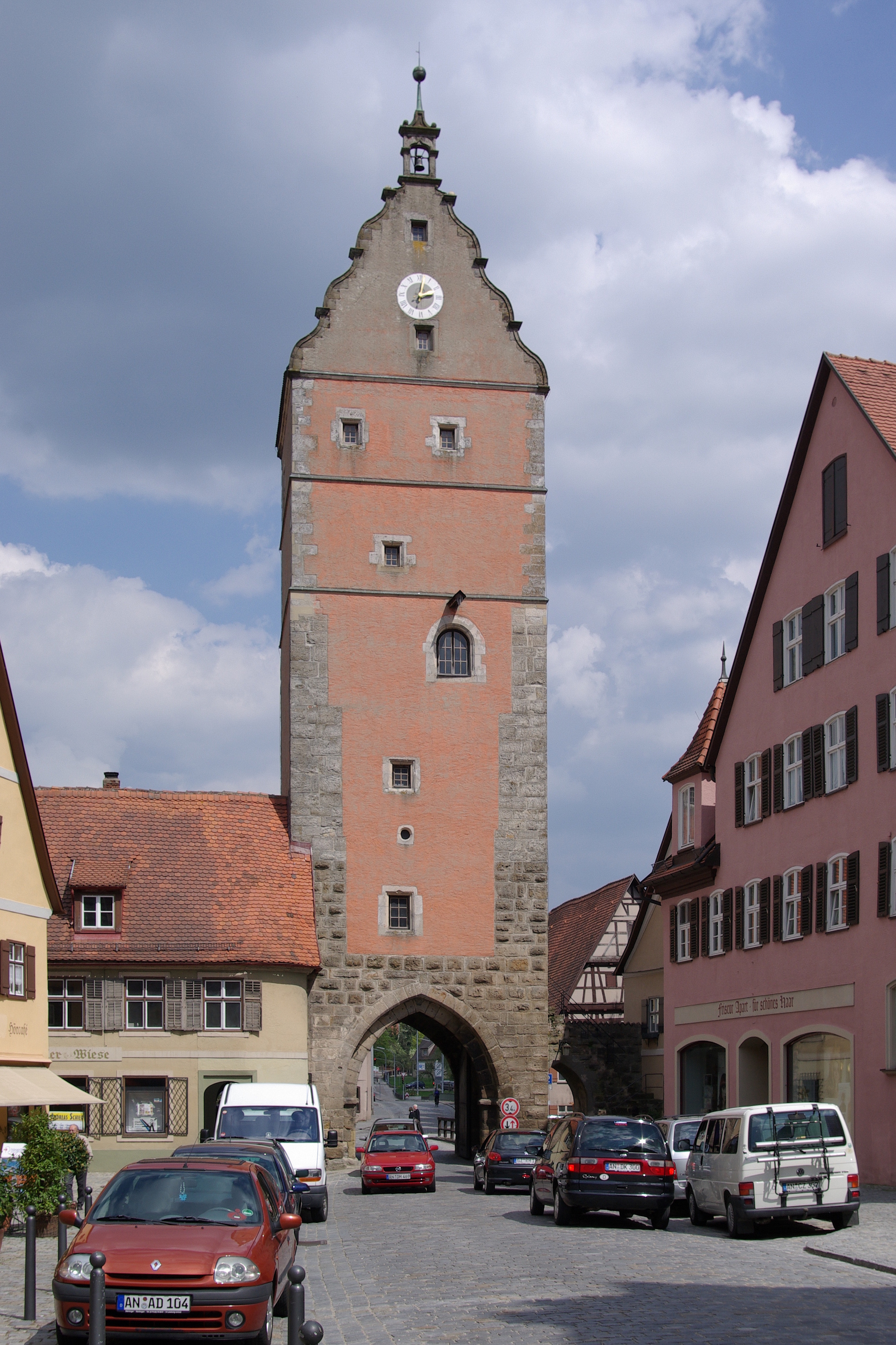
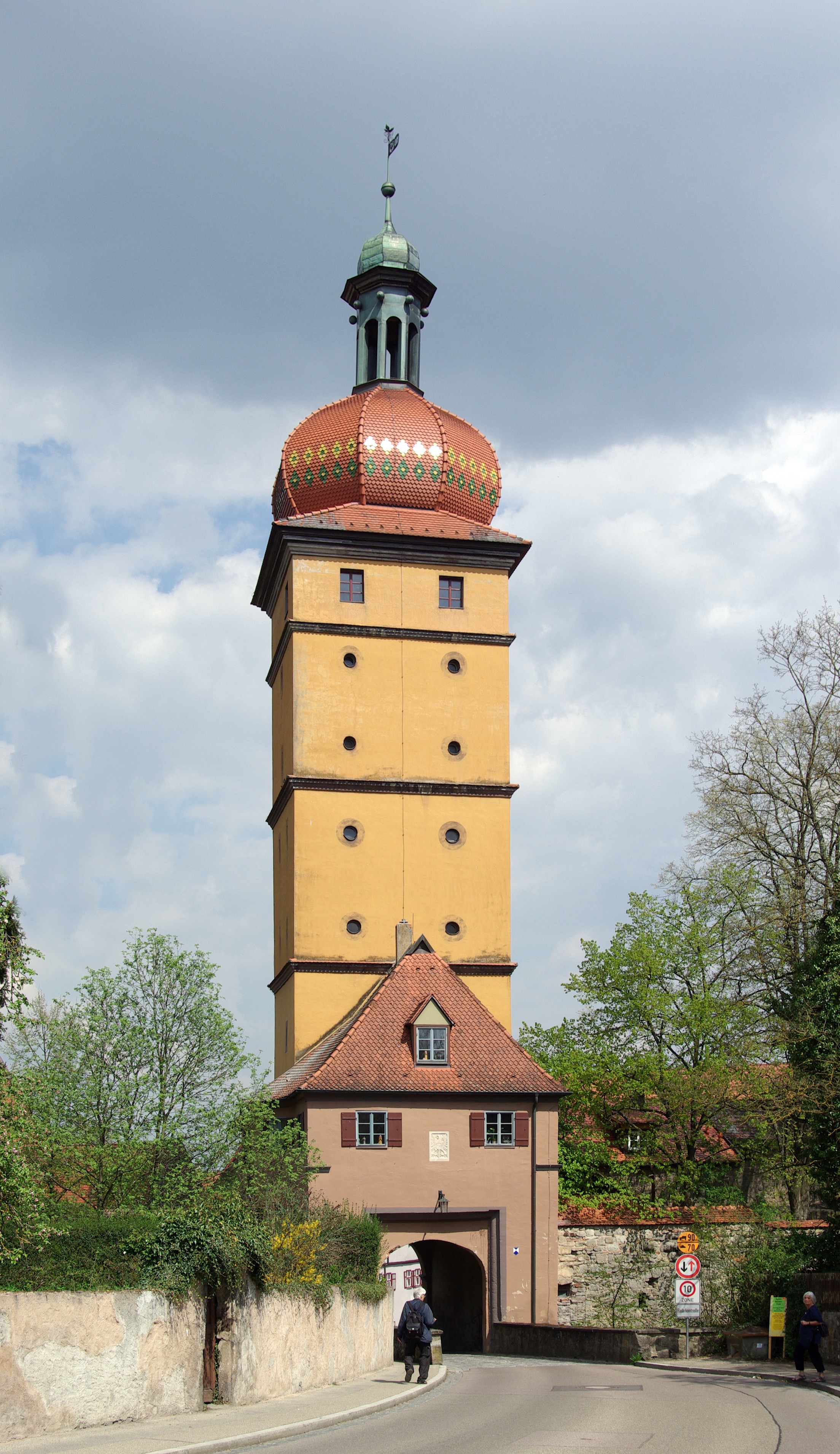
Wörnitz gate
-

Saint George’s Minster
-
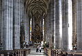
St. George’s Minster interior
-
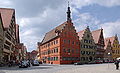
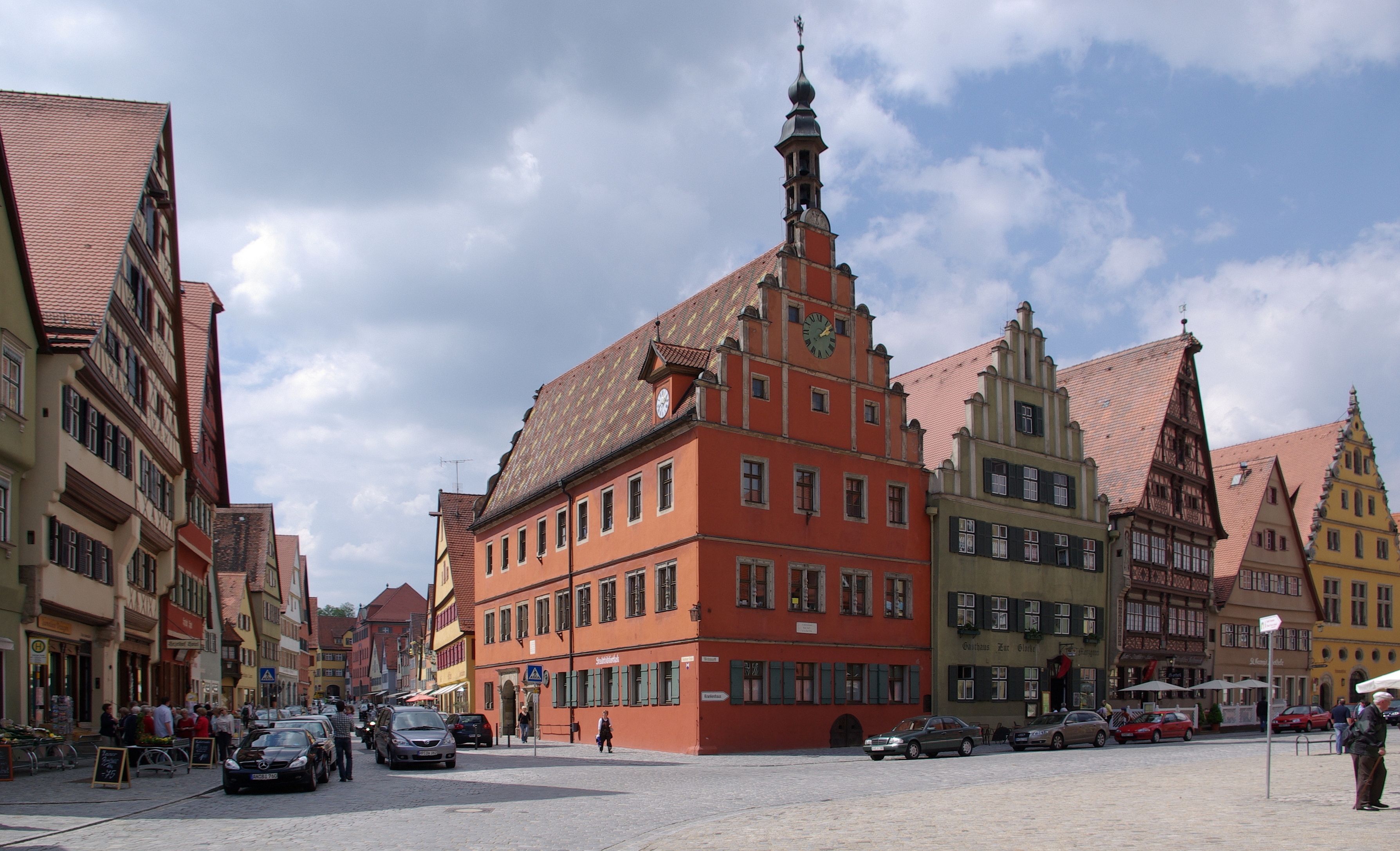
Market place with "Deutsches Haus" (3rd from right)
-
Weinmarkt
-
Segringen gate
-
Segringen street
-
Rothenburg gate
-

Dr.-Martin-Luther street
-
Nördlingen street
-
Nördlingen gate
-

St. Paul’s church
References
- ^ "Fortschreibung des Bevölkerungsstandes" (in German). Bayerisches Landesamt für Statistik und Datenverarbeitung. 31 December 2010. https://www.statistikdaten.bayern.de/genesis/online?language=de&sequenz=tabelleErgebnis&selectionname=12411-009r&sachmerkmal=QUASTI&sachschluessel=SQUART04&startjahr=2010&endjahr=2010.
 This article incorporates text from a publication now in the public domain: Chisholm, Hugh, ed (1911). Encyclopædia Britannica (11th ed.). Cambridge University Press.
 Swabian League (1488–1534) of the
  Holy Roman Empire
Imperial Cities Aalen · Augsburg · Biberach · Bopfingen · Dinkelsbühl · Donauwörth · Esslingen · Giengen · Heilbronn · Isny · Kaufbeuren · Kempten · Leutkirch · Lindau · Memmingen · Nördlingen · Pfullendorf · Ravensburg · Reutlingen · Schwäbisch Gmünd · Schwäbisch Hall · Überlingen · Ulm · Wangen · Weil · Wimpfen
Nobility St George's Shield (Gesellschaft von Sanktjörgenschild)Territories Württemberg · Brandenburg-Ansbach · Baden · Bavaria · Bayreuth · Electoral Palatinate · Hesse · Mainz · TrierFree Imperial Cities of the Holy Roman Empire As of 1792 Aachen · Aalen · Augsburg · Biberach · Bopfingen · BremenH · Buchau · Buchhorn · CologneH · Dinkelsbühl · DortmundH · Eßlingen · Frankfurt · Friedberg · Gengenbach · Giengen · GoslarH · HamburgH · Heilbronn · Isny · Kaufbeuren · Kempten · Kessenich · Leutkirch · Lindau · LübeckH · Memmingen · Mühlhausen · MülhausenD, S · Nordhausen · Nördlingen · Nuremberg · Offenburg · Pfullendorf · Ravensburg · Regensburg · Reutlingen · Rothenburg · RottweilS · Schwäbisch Gmünd · Schwäbisch Hall · Schweinfurt · Speyer · Überlingen · Ulm · Wangen · Weil · Weißenburg in Bayern · Wetzlar · Wimpfen · Windsheim · Worms · Zell
Free Imperial Cities as at 1648 Cities that lost Imperial immediacy or gained independence before 1792 BaselS · BernS · Besançon · Brakel · Cambrai · Diessenhofen · Donauwörth · Duisburg · Düren · Gelnhausen · HagenauD · Herford · KaysersbergD · KolmarD · Konstanz · LandauD · Lemgo · LucerneS · Mainz · Metz · MunsterD · ObernaiD · Pfeddersheim · Rheinfelden · RosheimD · St. GallenS · Sarrebourg · SchaffhausenS · Schmalkalden · SchlettstadtD · SoestH · SolothurnS · Straßburg · Toul · TurckheimD · Verden · Verdun · Warburg · Weißenburg in ElsaßD · ZürichSD: Member of the Décapole. H: Member of the Hanseatic League. S: Member or associate of the Swiss Confederacy.Adelshofen · Arberg · Aurach · Bechhofen · Bruckberg · Buch am Wald · Burgoberbach · Burk · Colmberg · Dentlein · Diebach · Dietenhofen · Dinkelsbühl · Dombühl · Dürrwangen · Ehingen · Feuchtwangen · Flachslanden · Gebsattel · Gerolfingen · Geslau · Heilsbronn · Herrieden · Insingen · Langfurth · Lehrberg · Leutershausen · Lichtenau · Merkendorf · Mitteleschenbach · Mönchsroth · Neuendettelsau · Neusitz · Oberdachstetten · Ohrenbach · Ornbau · Petersaurach · Röckingen · Rothenburg ob der Tauber · Rügland · Sachsen · Schillingsfürst · Schnelldorf · Schopfloch · Steinsfeld · Unterschwaningen · Wassertrüdingen · Weidenbach · Weihenzell · Weiltingen · Wettringen · Wieseth · Wilburgstetten · Windelsbach · Windsbach · Wittelshofen · Wolframs-Eschenbach · Wörnitz
 Categories:
- Towns in Bavaria
- Former republics
- Former countries in Europe
- States of the Holy Roman Empire
- City-states
- Imperial free cities
- States and territories established in 1351
- States and territories disestablished in 1802
- 1802 disestablishments
- Ansbach district


Wikimedia Foundation. 2010.