- Old Lycoming Township, Lycoming County, Pennsylvania
-
Not to be confused with Lycoming Township, Lycoming County, Pennsylvania.
Old Lycoming Township,
Lycoming County,
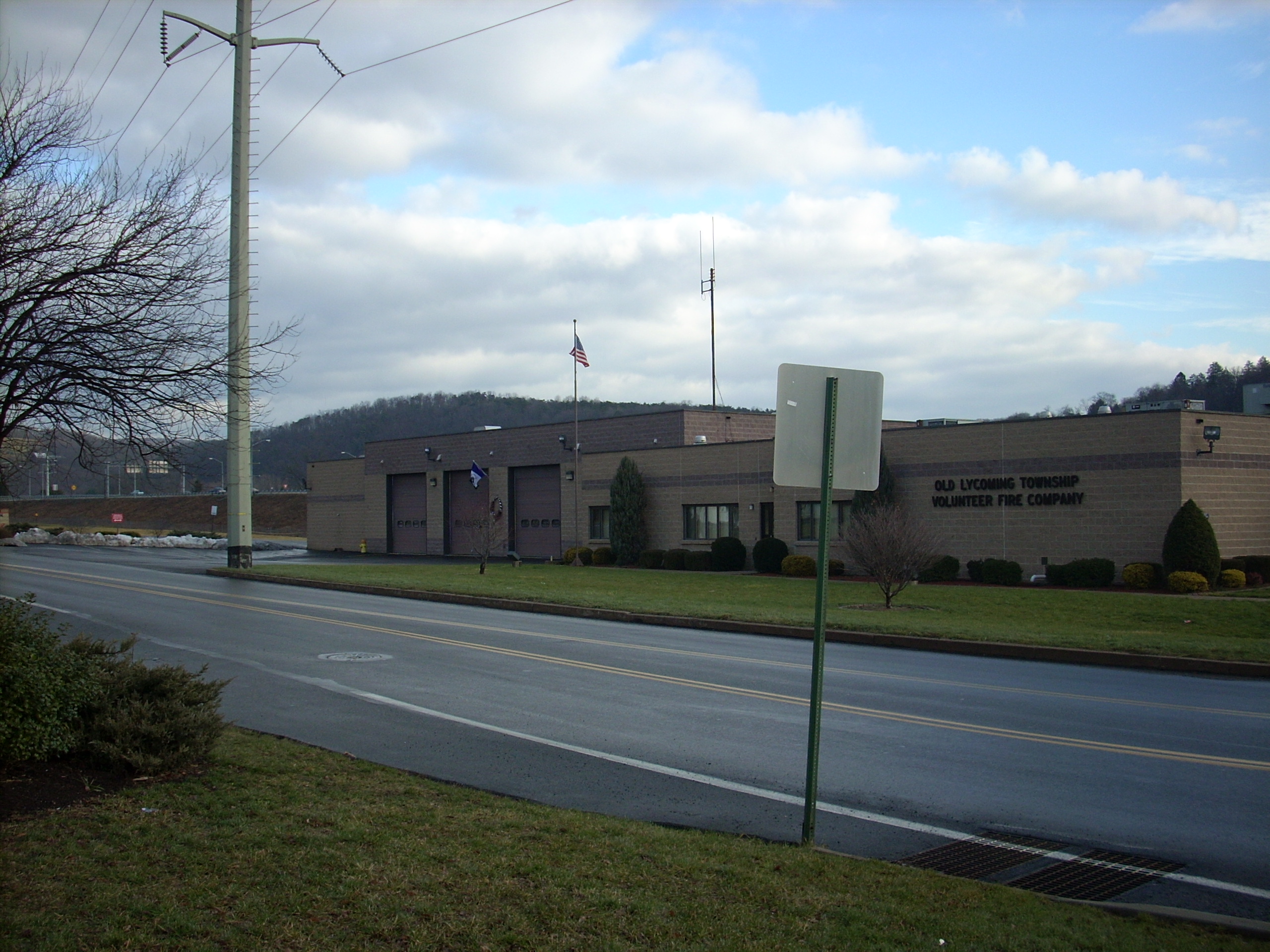
Pennsylvania— Township — The municipal building in Garden View Map of Lycoming County, Pennsylvania highlighting Old Lycoming Township
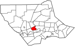 Map of Lycoming County, Pennsylvania
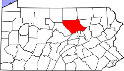
Coordinates: 41°15′37″N 77°3′24″W / 41.26028°N 77.05667°WCoordinates: 41°15′37″N 77°3′24″W / 41.26028°N 77.05667°W Country United States State Pennsylvania County Lycoming Settled 1773 Incorporated 1785 Government – Type Board of Supervisors – Chair John W. Eck – Vice-chair Janet C. Hall – Supervisor Ada Godlewski Area – Total 9.5 sq mi (24.6 km2) – Land 9.4 sq mi (24.5 km2) – Water 0.1 sq mi (0.2 km2) Elevation[1] 791 ft (241 m) Population (2000) – Total 5,508 – Density 583.4/sq mi (225.2/km2) Time zone Eastern (EST) (UTC-5) – Summer (DST) EDT (UTC-4) ZIP code 17701 Area code(s) 570 FIPS code 42-56608[2] GNIS feature ID 1216766[1] Website Old Lycoming Township Old Lycoming Township is a township in Lycoming County, Pennsylvania, in the United States. The population was 5,508 at the 2000 census. It is part of the Williamsport, Pennsylvania Metropolitan Statistical Area.
Contents
History
Old Lycoming Township is a township in Lycoming County that is actually older than the county. It was formed as part of Northumberland County on August 22, 1785, ten years before the formation of Lycoming County. The original boundaries of the township ecompassed much of the territory that was previously governed by the Fair Play Men. The land between Lycoming and Pine Creeks was outside of the legal boundaries of Pennsylvania until 1784 and the second Treaty of Fort Stanwix. The Fair Play Men operated a system of self government from 1773 to 1785. Their claims to the land had no legal bearing in the state of Pennsylvania when it was finally legally part of the state. These men had some troubles gaining the title to the land that they had cleared and defended for so long. Some of them were able to keep their lands and others chose to move further west.[3]
In the American Revolutionary War, settlements throughout the Susquehanna Valley, including what is now Old Lycoming Township, were attacked by Loyalists and Native Americans allied with the British. In the early summer of 1778 news came of a group of Native American warriors, perhaps accompanied by Loyalist and British soldiers, heading for the West Branch Susquehanna River Valley to destroy settlements. There were many smaller incidents of violence against settlers, but on June 10, 1778 a party of sixteen settlers were attacked in what is now Williamsport. In what became known as the "Plum Tree Massacre", twelve of the sixteen were killed and scalped, including two women and six children. The Wyoming Valley Massacre occurred on July 3, 1778 (near what is now Wilkes-Barre). This news caused the local authorities to order the evacuation of the whole West Branch valley.
Most of the settlers did not return to their farms until after Sullivan's Expedition had driven off the Indian and Loyalist threat. John McMeens a native of South Carolina was one of the first to return to the area. He had settled along the river in 1776. He fled during the Big Runaway and returned in 1791. McMeens rose to a position of prominence in Lycoming County. He was a county commissioner, state commissioner and served on the initial committee that explored to possibility of building the Pennsylvania Canal that improved navigation on the Susquehanna River. McMeens also represented the area in the Pennsylvania General Assembly from 1814 to 1818.
Derick Updegraff arrived in Old Lycoming Township from York County in 1787. He settled on land that had previously been improved during the Fair Play Men era. He was not able to claim legal control of his 500 acres (2.0 km2) until 1793 as the resulty of a law suit over the land filed by the man who had previously claimed it. Updegraff and his sons improved the land by clearing many more acres and building what was one of the largest barns in Lycoming County.
Today Old Lycoming Township includes the census designated area of Garden View. Garden View serves as a suburb to Williamsport with many family homes and an extensive stretch of commercial and light industrial development along Lycoming Creek Road.
Geography
Old Lycoming Township is bordered by Lycoming Township to the north and the eastern border with Loyalsock Township is formed by Lycoming Creek. Old Lycoming Township is bordered by the Newberry section of Williamsport to the south and by Woodward Township to the west.[4] As the crow flies, Lycoming County is about 130 miles (209 km) northwest of Philadelphia and 165 miles (266 km) east-northeast of Pittsburgh.
According to the United States Census Bureau, the township has a total area of 9.5 square miles (24.6 km²).9.4 square miles (24.4 km²) of it is land and 0.1 square miles (0.2 km²) of it (0.74%) is water.
Demographics
As of the census[2] of 2000, there were 5,508 people, 2,280 households, and 1,589 families residing in the township. The population density was 583.4 people per square mile (225.3/km²). There were 2,369 housing units at an average density of 250.9/sq mi (96.9/km²). The racial makeup of the township was 97.39% White, 0.84% African American, 0.16% Native American, 0.78% Asian, 0.18% from other races, and 0.65% from two or more races. Hispanic or Latino of any race were 0.24% of the population.
There were 2,280 households out of which 26.3% had children under the age of 18 living with them, 59.3% were married couples living together, 6.9% had a female householder with no husband present, and 30.3% were non-families. 25.7% of all households were made up of individuals and 11.4% had someone living alone who was 65 years of age or older. The average household size was 2.40 and the average family size was 2.88.
In the township the population was spread out with 21.9% under the age of 18, 6.6% from 18 to 24, 26.4% from 25 to 44, 26.7% from 45 to 64, and 18.5% who were 65 years of age or older. The median age was 42 years. For every 100 females there were 98.7 males. For every 100 females age 18 and over, there were 93.9 males.
The median income for a household in the township was $39,852, and the median income for a family was $46,429. Males had a median income of $37,116 versus $21,935 for females. The per capita income for the township was $19,236. About 6.6% of families and 8.2% of the population were below the poverty line, including 17.3% of those under age 18 and 3.6% of those age 65 or over.
See also
For histories of the other townships in Lycoming County see
References
- ^ a b "US Board on Geographic Names". United States Geological Survey. 2007-10-25. http://geonames.usgs.gov. Retrieved 2008-01-31.
- ^ a b "American FactFinder". United States Census Bureau. http://factfinder.census.gov. Retrieved 2008-01-31.
- ^ Meginness, John Franklin. "XLIV". History of Lycoming County, Pennsylvania: including its aboriginal history; the colonial and revolutionary periods; early settlement and subsequent growth; organization and civil administration; the legal and medical professions; internal improvement; past and present history of Williamsport; manufacturing and lumber interests; religious, educational, and social development; geology and agriculture; military record; sketches of boroughs, townships, and villages; portraits and biographies of pioneers and representative citizens, etc. etc. (1st Edition ed.). Chicago, IL: Brown, Runk & Co.. ISBN 0-7884-0428-8. http://www.usgennet.org/usa/pa/county/lycoming/history/Chapter-44.htmlhttp://www.usgennet.org/usa/pa/county/lycoming/history/Chapter-34.html. Retrieved 2007-04-29. "(Note: ISBN refers to Heritage Books July 1996 reprint. URL is to a scan of the 1892 version with some OCR typos)."
- ^ Pennsylvania Department of Transportation, Bureau of Planning and Research, Geographic Information Division. "2007 General Highway Map Lycoming County Pennsylvania" (Map). 1:65,000. ftp://ftp.dot.state.pa.us/public/pdf/BPR_pdf_files/Maps/GHS/Roadnames/lycoming_GHSN.PDF. Retrieved 2009-12-26.
Municipalities and communities of Lycoming County, Pennsylvania City 
Boroughs Townships Anthony | Armstrong | Bastress | Brady | Brown | Cascade | Clinton | Cogan House | Cummings | Eldred | Fairfield | Franklin | Gamble | Hepburn | Jackson | Jordan | Lewis | Limestone | Loyalsock | Lycoming | McHenry | McIntyre | McNett | Mifflin | Mill Creek | Moreland | Muncy Creek | Muncy | Nippenose | Old Lycoming | Penn | Piatt | Pine | Plunketts Creek | Porter | Shrewsbury | Susquehanna | Upper Fairfield | Washington | Watson | Wolf | Woodward
CDPs Faxon | Garden View | Kenmar | Oval | Rauchtown‡
Unincorporated
communitiesGhost town Footnotes ‡This populated place also has portions in an adjacent county
Categories:- Townships in Lycoming County, Pennsylvania
- Populated places established in 1773


Wikimedia Foundation. 2010.