- Picture Rocks, Pennsylvania
Infobox Settlement
official_name = Picture Rocks, Pennsylvania
settlement_type = Borough
nickname =
motto =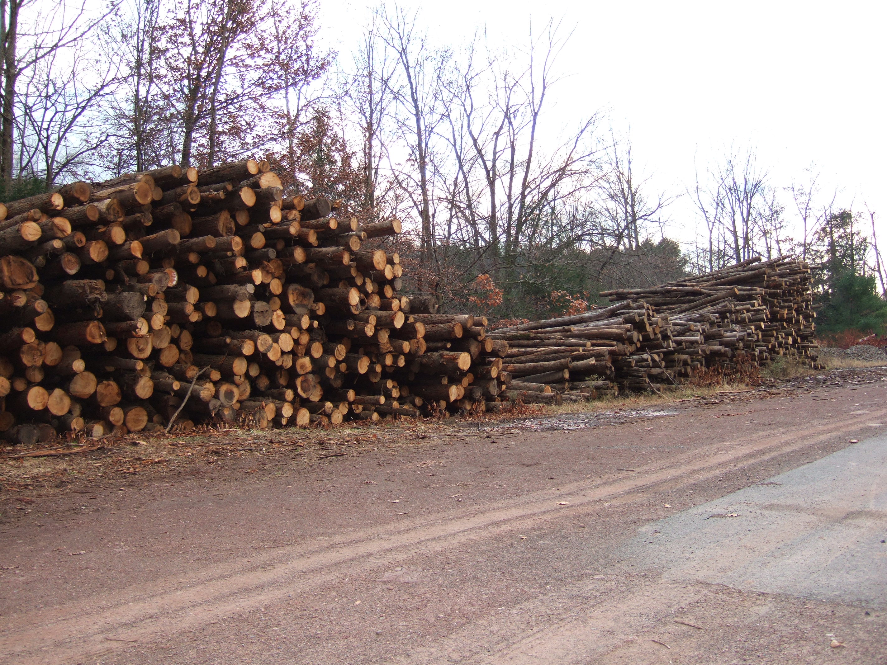
imagesize =
image_caption = Lumber stacked at a sawmill in Picture Rocks
image_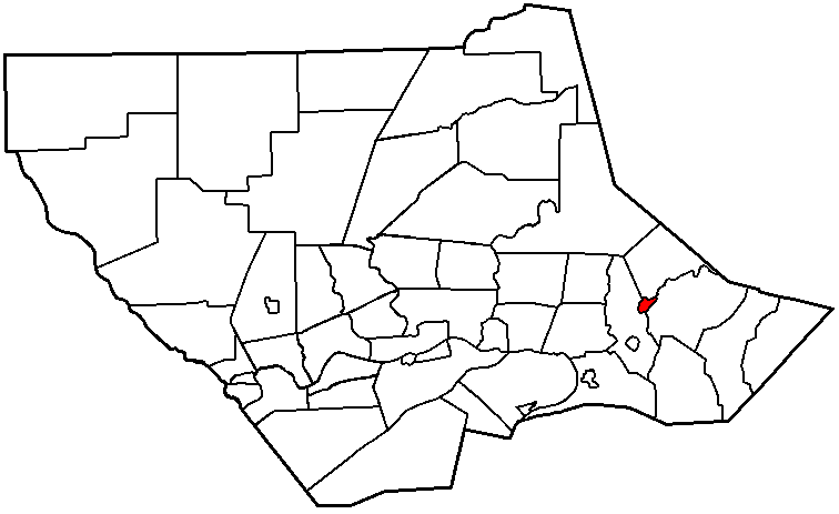
mapsize = 250x200px
map_caption = Map of Lycoming County, Pennsylvania highlighting Picture Rocks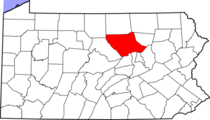
mapsize1 = 250x200px
map_caption1 = Map of Pennsylvania highlighting Lycoming Countysubdivision_type = Country
subdivision_name =United States
subdivision_type1 = State
subdivision_name1 =Pennsylvania
subdivision_type2 = County
subdivision_name2 = Lycominggovernment_footnotes =
government_type =
leader_title =
leader_name =
leader_title1 =
leader_name1 =
established_title = Settled
established_date = 1848
established_title1 = Incorporated
established_date1 = 1857unit_pref = Imperial
area_footnotes =area_magnitude =
area_total_km2 = 2.4
area_land_km2 = 2.4
area_water_km2 = 0.0
area_total_sq_mi = 0.9
area_land_sq_mi = 0.9
area_water_sq_mi = 0.0population_as_of = 2000
population_footnotes =
population_total = 693
population_density_km2 = 285.8
population_density_sq_mi = 740.3timezone = Eastern (EST)
utc_offset = -5
timezone_DST = EDT
utc_offset_DST = -4
elevation_footnotes =GR|3
elevation_m = 197
elevation_ft = 646
latd = 41 |latm = 16 |lats = 48 |latNS = N
longd = 76 |longm = 42 |longs = 42 |longEW = Wpostal_code_type =
ZIP code
postal_code = 17762
area_code = 570
blank_name = FIPS code
blank_info = 42-60136GR|2
blank1_name = GNIS feature ID
blank1_info = 1193116GR|3
website =
footnotes =Picture Rocks is a borough in Lycoming County,
Pennsylvania , in the United States. The population was 693 at the 2000 census. It is part of theWilliamsport, Pennsylvania Metropolitan Statistical Area .History
Picture Rocks was incorporated as a
borough onSeptember 27 ,1875 from Wolf Township. But the history of Picture Rocks began long before European settlers first arrived in 1773. The name of the borough is derived from thepictograph s that were left by some of the Native Americans that a previously inhabited theMuncy Creek valley. The paintings on the cliffs above Muncy Creek have long since disappeared. The town is built upon land that was once aMunsee Indian village. Evidence of this is found in the arrowheads and other relics that have been found in the vicinity of the creek.The first warrant for property in the Picture Rocks area was issued by the
Province of Pennsylvania to Henry Rody onJune 3 ,1773 . The land was used very little and passed through several hands until 1848 when it was sold to A. R. Sprout and Amos Burrows who went on to become the founding fathers of Picture Rocks. Sprout and Burrows worked to cleared the land that was thought to be worthless of the rocks, logs and brush that covered it. They also rebuilt an abandonedsawmill and established a factory that manufactured sashes, doors, and window blinds. This factory, the first of its kind in the area, caused a stir among the localcarpenter s who believed that the ready made building materials would curtail their profit making ability.The town grew up around the factory and soon other manufacturers arrived to harness the
water power provided by Muncy Creek. People interested in by a lot in Picture Rocks were required to sign an agreement stating that they would not open a saloon or engage in the trafficking ofliquor . This law was made by the residents and founders of the town, a majority of them beingBaptist s.The Baptists of Picture Rocks organized as a [http://en.wiktionary.org/wiki/congregation congregation] in 1840 and met for a while in a school house. A traveling preacher arrived in Picture Rocks one Saturday evening and found the school to be unfit for Sunday gatherings. After delivering his Sunday morning
sermon he rallied the members of the congregation around the cause of building a proper house of worship. Under the guidance of their newpastor the members of the Baptist Church built a log building that served has their church for 25 years that was replaced by a larger facility.Geography
Picture Rocks is located at coor dms|41|16|48|N|76|42|42|W|city (41.280066, -76.711731),GR|1 in southeastern Lycoming County. It is bordered by Wolf Township to the west, Shrewsbury Township to the north and Penn Township to the east and south.
As the crow flies , Lycoming County is about convert|130|mi|km|0 northwest ofPhiladelphia and convert|165|mi|km|0 east-northeast of Pittsburgh.According to the
United States Census Bureau , the borough has a total area of 0.9square mile s (2.4km² ), all of it land.Demographics
As of the
census GR|2 of 2000, there were 693 people, 274 households, and 198 families residing in the borough. Thepopulation density was 740.3 people per square mile (284.6/km²). There were 288 housing units at an average density of 307.7/sq mi (118.3/km²). The racial makeup of the borough was 98.41% White, 0.29% Native American, 0.43% Asian, and 0.87% from two or more races.There were 274 households out of which 35.4% had children under the age of 18 living with them, 60.2% were married couples living together, 9.5% had a female householder with no husband present, and 27.4% were non-families. 24.1% of all households were made up of individuals and 13.9% had someone living alone who was 65 years of age or older. The average household size was 2.53 and the average family size was 2.99.
In the borough the population was spread out with 25.4% under the age of 18, 6.3% from 18 to 24, 31.5% from 25 to 44, 23.7% from 45 to 64, and 13.1% who were 65 years of age or older. The median age was 37 years. For every 100 females there were 94.7 males. For every 100 females age 18 and over, there were 88.7 males.
The median income for a household in the borough was $36,375, and the median income for a family was $45,568. Males had a median income of $31,103 versus $21,667 for females. The
per capita income for the borough was $15,402. About 8.5% of families and 11.4% of the population were below thepoverty line , including 16.7% of those under age 18 and 12.0% of those age 65 or over.References
cite book
last = Meginness
first = John Franklin
title = History of Lycoming County, Pennsylvania: including its aboriginal history; the colonial and revolutionary periods; early settlement and subsequent growth; organization and civil administration; the legal and medical professions; internal improvement; past and present history of Williamsport; manufacturing and lumber interests; religious, educational, and social development; geology and agriculture; military record; sketches of boroughs, townships, and villages; portraits and biographies of pioneers and representative citizens, etc. etc."
origdate = 1892
url = http://www.usgennet.org/usa/pa/county/lycoming/history/lyco-history-01.html
accessdate = 2007-02-22
edition = 1st Edition
publisher = Brown, Runk & Co.
location = Chicago, IL
id = ISBN 0-7884-0428-8
chapter = XXXI
chapterurl = http://www.usgennet.org/usa/pa/county/lycoming/history/Chapter-34.html
quote = (Note: ISBN refers to Heritage Books July 1996 reprint. URL is to a scan of the 1892 version with some OCR typos).External links

Wikimedia Foundation. 2010.