- National Register of Historic Places listings in Ascension Parish, Louisiana
-
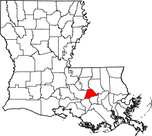 Location of Ascension Parish in Louisiana
This is a list of the National Register of Historic Places listings in Ascension Parish, Louisiana.
This is intended to be a complete list of the properties and districts on the National Register of Historic Places in Ascension Parish, Louisiana, United States. The locations of National Register properties and districts for which the latitude and longitude coordinates are included below, may be seen in a Google map.[1]
There are 19 properties and districts listed on the National Register in the parish and 1 property that was once listed but has been removed.
-
- This National Park Service list is complete through NPS recent listings posted November 10, 2011.[2]
Current listings
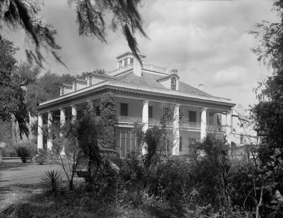
[3] Landmark name [4] Image Date listed Location City or town Summary 1 Ashland 
May 4, 1979 2 miles (3.2 km) south of Geismar on Louisiana Highway 75
30°10′34″N 90°59′56″W / 30.176111°N 90.998889°WGeismar 2 Bocage June 20, 1991 Louisiana Highway 942 south of Marchandville
30°07′24″N 90°57′19″W / 30.123333°N 90.955278°WDarrow 3 Dixon House May 27, 1999 38127 Louisiana Highway 42
30°19′11″N 90°58′17″W / 30.319722°N 90.971389°WPrairieville 4 Donaldsonville Historic District January 19, 1984 Roughly bounded by Bayou LaFourche, the Mississippi River levee, Jackson Ave., Marchand Dr., and Monroe and Church Sts.
30°06′09″N 90°59′15″W / 30.1025°N 90.9875°WDonaldsonville 5 Evan Hall Slave Cabins September 20, 1983 West of Donaldsonville
30°07′05″N 91°02′40″W / 30.118056°N 91.044444°WDonaldsonville 6 Fort Butler February 25, 1999 Address Restricted Donaldsonville 7 Helvetia Dependency June 4, 1992 Louisiana Highway 942
30°07′02″N 90°57′44″W / 30.117222°N 90.962222°WDarrow 8 Hermitage April 13, 1973 1.75 miles east of Darrow on Louisiana Highway 942
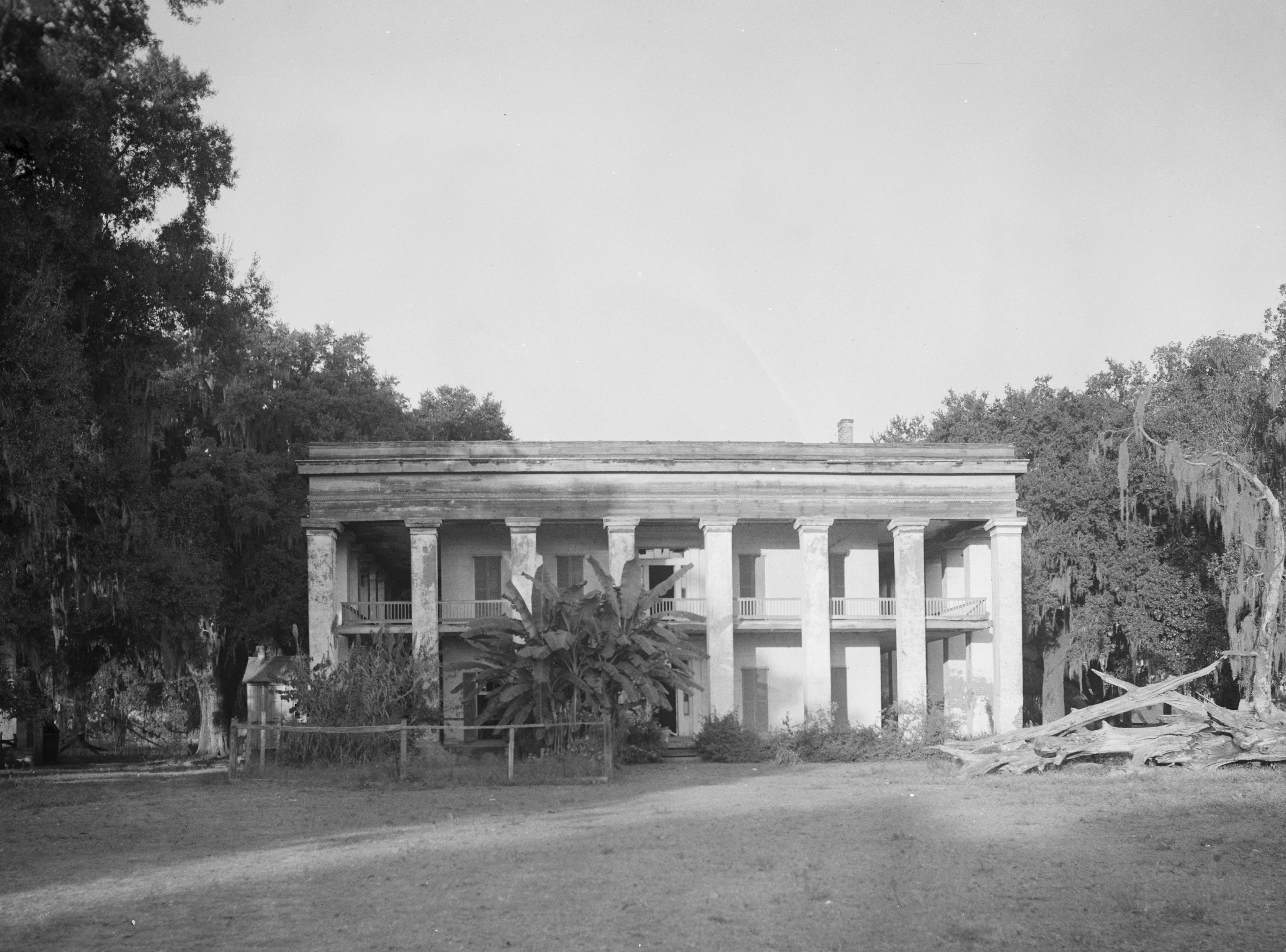
30°06′55″N 90°57′45″W / 30.115278°N 90.9625°WDarrow 9 The Houmas 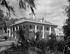
September 27, 1980 West of Burnside off Louisiana Highways 22 and 44
30°08′19″N 90°56′00″W / 30.138611°N 90.933333°WBurnside 10 Kraemer House August 2, 1984 Off U.S. Route 61
30°17′53″N 90°57′44″W / 30.298056°N 90.962222°WPrairieville 11 Landry Tomb August 11, 1982 Ascension Catholic Church Cemetery, St. Vincent and Claiborne Sts.
30°05′57″N 90°59′09″W / 30.099167°N 90.985833°WDonaldsonville 12 Lemann Store August 11, 1982 314 Mississippi St.
30°06′22″N 90°59′14″W / 30.106111°N 90.987222°WDonaldsonville 13 Mulberry Grove October 14, 1993 Louisiana Highway 405, 7 miles east-northeast of its junction with Louisiana Highway 1
30°11′34″N 91°02′10″W / 30.192778°N 91.036111°WWhite Castle 14 Palo Alto Dependency June 4, 1992 Louisiana Highway 944
30°05′28″N 91°01′57″W / 30.091111°N 91.0325°WDonaldsonville 15 Palo Alto Plantation April 13, 1977 West of Donaldsonville on Louisiana Highway 1
30°05′28″N 91°01′52″W / 30.091111°N 91.031111°WDonaldsonville 16 Rome House March 8, 1990 Louisiana Highway 1 at Delany Ln.
30°06′30″N 91°01′11″W / 30.108333°N 91.019722°WSmoke Bend 17 St. Emma June 30, 1980 South of Donaldsonville
30°05′02″N 91°01′50″W / 30.083889°N 91.030556°WDonaldsonville 18 Tezcuco March 3, 1983 South of Burnside on River Rd.
30°06′57″N 90°54′38″W / 30.115833°N 90.910556°WBurnside 19 Robert Penn Warren House January 7, 1993 16381 Old Jefferson Highway
30°18′29″N 90°58′25″W / 30.308056°N 90.973611°WPrairieville Former listings
Landmark name Image Date removed Location City or Town Summary 1 St. Joseph's School June 9, 2010 Louisiana Highways 22 and 44
30°8′59″N 90°55′23″W / 30.14972°N 90.92306°WBurnside Listed November 17, 1988 See also
- List of National Historic Landmarks in Louisiana
- National Register of Historic Places listings in Louisiana
References
- ^ The latitude and longitude information provided in this table was derived originally from the National Register Information System, which has been found to be fairly accurate for about 99% of listings. For about 1% of NRIS original coordinates, experience has shown that one or both coordinates are typos or otherwise extremely far off; some corrections may have been made. A more subtle problem causes many locations to be off by up to 150 yards, depending on location in the country: most NRIS coordinates were derived from tracing out latitude and longitudes off of USGS topographical quadrant maps created under the North American Datum of 1927, which differs from the current, highly accurate WGS84 GPS system used by Google maps. Chicago is about right, but NRIS longitudes in Washington are higher by about 4.5 seconds, and are lower by about 2.0 seconds in Maine. Latitudes differ by about 1.0 second in Florida. Some locations in this table may have been corrected to current GPS standards.
- ^ "National Register of Historic Places: Weekly List Actions". National Park Service, United States Department of the Interior. Retrieved on November 10, 2011.
- ^ Numbers represent an ordering by significant words. Various colorings, defined here, differentiate National Historic Landmark sites and National Register of Historic Places Districts from other NRHP buildings, structures, sites or objects.
- ^ "National Register Information System". National Register of Historic Places. National Park Service. . http://nrhp.focus.nps.gov/natreg/docs/All_Data.html.
U.S. National Register of Historic Places Topics Lists by states Alabama • Alaska • Arizona • Arkansas • California • Colorado • Connecticut • Delaware • Florida • Georgia • Hawaii • Idaho • Illinois • Indiana • Iowa • Kansas • Kentucky • Louisiana • Maine • Maryland • Massachusetts • Michigan • Minnesota • Mississippi • Missouri • Montana • Nebraska • Nevada • New Hampshire • New Jersey • New Mexico • New York • North Carolina • North Dakota • Ohio • Oklahoma • Oregon • Pennsylvania • Rhode Island • South Carolina • South Dakota • Tennessee • Texas • Utah • Vermont • Virginia • Washington • West Virginia • Wisconsin • WyomingLists by territories Lists by associated states Other Municipalities and communities of Ascension Parish, Louisiana Cities 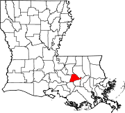
Town Unincorporated
communitiesAben | Acy | Barmen | Barton | Belle Helene | Bowden | Brittany | Bruly McCall | Bullion | Burnside | Claybank | Cofield | Cornerview | Darrow | Duckroost | Duplessis | Dutchtown | Galvez | Geismar | Hillaryville | Hobart | Hohen Solms | Hope Villa | Lake | Lemannville | Little Prairie | Marchand | McCall | McElroy | Modeste | Mount Houmas | Noel | Oak Grove | Palo Alto | Philadelphia Point | Prairieville | St. Amant | St. Elmo | Smoke Bend | Southwood | Weber City
Categories:- Ascension Parish, Louisiana
- National Register of Historic Places in Louisiana by parish
- Buildings and structures in Ascension Parish, Louisiana
-

Wikimedia Foundation. 2010.