- Merrick, New York
-
Merrick, New York — CDP — 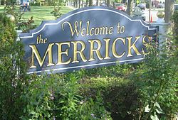 U.S. Census Map
 Location within the state of New York
 Merrick, New York
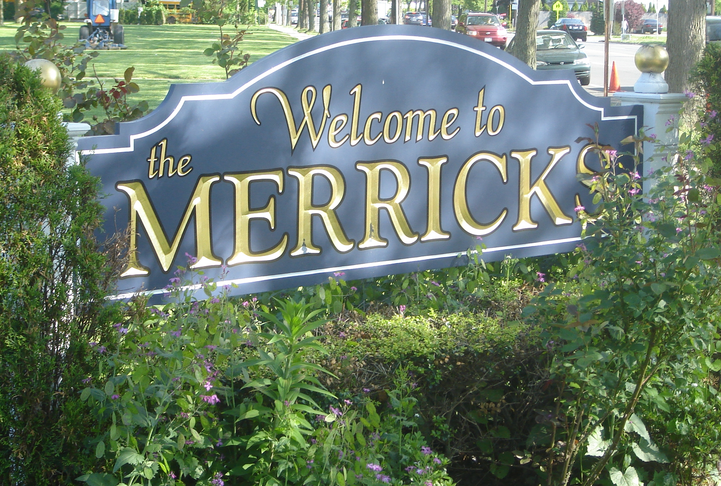
Coordinates: 40°39′34″N 73°33′13″W / 40.65944°N 73.55361°WCoordinates: 40°39′34″N 73°33′13″W / 40.65944°N 73.55361°W Country United States State New York County Nassau Area - Total 5.2 sq mi (13.5 km2) - Land 4.2 sq mi (10.9 km2) - Water 1.0 sq mi (2.6 km2) Elevation 13 ft (4 m) Population (2010) - Total 22,097 - Density 4,239.3/sq mi (1,636.8/km2) Time zone Eastern (EST) (UTC-5) - Summer (DST) EDT (UTC-4) ZIP code 11566 Area code(s) 516 FIPS code 36-46668 GNIS feature ID 0956989 Merrick is a hamlet (and census-designated place) in the Town of Hempstead in Nassau County, New York, USA. As of the 2010 census, the CDP population was 22,097.[1] The name "Merrick" is taken from Meroke, the name (meaning peaceful) of the Algonquian tribe formerly indigenous to the area. It is served by the Merrick station on the Long Island Rail Road.
Contents
Geography
According to the United States Census Bureau, the CDP has a total area of 5.2 square miles (13 km2), of which 4.2 square miles (11 km2) is land and 1.0 square mile (2.6 km2), or 19.27%, is water.
Demographics
As of the census[2] of 2000, there were 22,764 people, 7,524 households, and 6,478 families residing in the CDP. The population density was 5,423.3 per square mile (2,092.7/km²). There were 7,602 housing units at an average density of 1,811.1/sq mi (698.8/km²). The racial makeup of the CDP was 95.2% White, 0.6% African American, 0.10% Native American, 2.24% Asian, 0.01% Pacific Islander, 0.94% from other races, and 0.98% from two or more races. Hispanic or Latino of any race were 5.70% of the population.
There were 7,524 households out of which 42.9% had children under the age of 18 living with them, 76.0% were married couples living together, 7.6% had a female householder with no husband present, and 13.9% were non-families. 11.6% of all households were made up of individuals and 6.6% had someone living alone who was 65 years of age or older. The average household size was 3.02 and the average family size was 3.27.
In the CDP the population was spread out with 27.5% under the age of 18, 5.4% from 18 to 24, 27.7% from 25 to 44, 26.7% from 45 to 64, and 12.7% who were 65 years of age or older. The median age was 40 years. For every 100 females there were 93.2 males. For every 100 females age 18 and over, there were 90.8 males.
The median income for a household in the CDP was $93,132, and the median income for a family was $99,589 (According to a 2007 estimate, these values had risen to $111,536 and $122,319 respectively).[3] Males had a median income of $79,607 versus $41,618 for females. The per capita income for the CDP was $26,334. About 2.0% of families and 2.8% of the population were below the poverty line, including 3.6% of those under age 18 and 2.2% of those age 65 or over.
History
When Europeans arrived, the place was called "Meroke" all along the South Shore of what is now Nassau County. After Sachem Tackapousha signed a treaty with Merrick's first colonists in 1643, Puritans who fled England started settling there. During the colonial period, Merrick became a trading center because vessels could enter Jones Inlet and sail up deep channels to docks beside what is now Merrick Road. During the War of 1812 these channels, canals and coves made Merrick a haven for buccaneers who preyed on merchants. Pirates in whaleboats once robbed prominent landowner George Hewlett and two friends while they were duck hunting, ripping the silver buttons from their coats. At one point, residents armed with muskets captured one bandit leader and shipped him to New York in irons for trial.
Merrick as Mecca: During a surge of religious activity in the 1860s, Methodists from around the state congregated in Merrick annually. In the beginning, horses and buggies were pulled into two circles around an open field for 10 days of services. The camp normally attracted about 300 worshipers, but some meetings were attended by up to 10,000. Circular streets, such as Fletcher and Asbury Avenues, lined with small cottages that developed around the campground, remain today in the North Merrick neighborhood called the Campgrounds or Tiny Town by residents.
Turning Points: The construction of the South Shore Rail Road, predecessor of the Long Island Rail Road, through Merrick in the late 1880s began a period of development. The boom in population and growth after World War II gradually led to Merrick and North Merrick developing distinct identities and separate school districts.
Schools
The schools in Merrick and North Merrick make up the Merrick and North Merrick School Districts, as well as part of the Bellmore-Merrick Central High School District (BMCHSD). Below are the schools, their grade levels, and the towns that attend them.
School Grades Town(s) That Go To School Birch School K-6 Merrick Roland A. Chatterton School K-6 Merrick Norman J. Levy Lakeside School K-6 Merrick Park Avenue School K-6 North Merrick Camp Avenue School K-6 North Merrick Harold D. Fayette School K-6 North Merrick Old Mill Road School K-6 North Merrick Merrick Avenue Middle School* 7–8 North Merrick, Merrick Sanford H. Calhoun High School* 9–12 North Merrick, Merrick John F. Kennedy High School* 9–12 South Merrick, Merrick, Bellmore Sacred Heart Elementary School Pre-School-8 All - An asterisk means that the school is part of the Bellmore Merrick Central High School District. All other schools are in the district of town that attends them.
Notable people
-
This list is incomplete; you can help by expanding it.
- Craig Allen, Fox News weatherman
- Roone Arledge, former president of ABC Sports/News
- Justin Beck, guitarist in the band Glassjaw
- Melissa Howard Beck, cast member, The Real World New Orleans
- Ed Begley, actor
- Ed Begley, Jr., actor
- Brian Bloom, actor
- Scott Bloom, actor and film producer
- Vinnie Caruana, lead singer of I Am the Avalanche and The Movielife
- Leonard Chang, author
- Ben Cohen, co-founder of Ben and Jerry's ice cream
- Doug Ellin, writer/creator of Entourage
- Albert B. Feldstein, founding editor, MAD Magazine
- Amy Fisher, "Long Island Lolita"
- Charles Fox, founder of the Long Island Rail Road
- Frank Frazetta, renowned fantasy artist
- Bill Freiberger, Emmy-nominated writer/producer of The Simpsons, The PJs
- Debbie Gibson, singer
- Jerry Greenfield, co-founder of Ben and Jerry's ice cream
- Ryan Hunter, lead vocalist of the band "Envy on the Coast"
- Michael Kors, fashion designer
- Paul R. Krugman, 2008 Nobel Prize in Economics, New York Times columnist, professor at Princeton University
- Brian Lane, founder/drummer of the band Brand New
- Scott Lipsky, tennis player
- Michael Markowitz, writer/producer of Duckman
- Matthew Nuccio, toy inventor
- The Lohan residence including Lindsay, Ali, and Dina Lohan
- Constantinos Philippou, mixed martial artist
- Mario Puzo, author of the novel The Godfather (later adapted to film by Francis Ford Coppola)
- Robbie Rosen, singer, contestant on season 10 of American Idol
- Zack Ryder, WWE professional wrestler
- Sha Na Na (George and Rob Leonard), Woodstock festival, Grease album rock group
- Kevin Shinick, actor/writer/director, notably Robot Chicken
- James Siegel, author of Derailed, adapted to a film starring Jennifer Aniston and Clive Owen
- Jacqueline Stone, Senior Vice President of Marketing at WebMD
Films
- 2002 – Blue Vinyl (dir. Daniel B. Gold and Judith Helfand)
- 2010 – Mildred Pierce (starring Kate Winslet, directed by Todd Haynes)
See also
References
- ^ "Race, Hispanic or Latino, Age, and Housing Occupancy: 2010 Census Redistricting Data (Public Law 94-171) Summary File (QT-PL), Merrick CDP, New York". U.S. Census Bureau, American FactFinder 2. http://factfinder2.census.gov. Retrieved October 4, 2011.
- ^ "American FactFinder". United States Census Bureau. http://factfinder.census.gov. Retrieved 2008-01-31.
- ^ "United States – Fact Sheet – American FactFinder". Factfinder.census.gov. http://factfinder.census.gov/servlet/ACSSAFFFacts?_event=Search&geo_id=16000US3645986&_geoContext=01000US%7C04000US36%7C16000US3645986&_street=&_county=merrick&_cityTown=merrick&_state=04000US36&_zip=&_lang=en&_sse=on&ActiveGeoDiv=geoSelect&_useEV=&pctxt=fph&pgsl=160&_submenuId=factsheet_1&ds_name=ACS_2007_3YR_SAFF&_ci_nbr=null&qr_name=null®=null%3Anull&_keyword=&_industry=. Retrieved October 4, 2011.
External links
Town of Hempstead, New York County 
Villages Atlantic Beach · Bellerose · Cedarhurst · East Rockaway · Floral Park · Freeport · Garden City · Hempstead · Hewlett Bay Park · Hewlett Harbor · Hewlett Neck · Island Park · Lawrence · Lynbrook · Malverne · Mineola · New Hyde Park · Rockville Centre · South Floral Park · Stewart Manor · Valley Stream · Woodsburgh
Hamlets Baldwin · Baldwin Harbor · Barnum Island · Bay Park · Bellerose Terrace · Bellmore · Bethpage · East Atlantic Beach · East Garden City · East Meadow · Elmont · Franklin Square · Garden City South · Harbor Isle · Hewlett · Inwood · Lakeview · Levittown · Lido Beach · Malverne Park/Malverne Oaks · Merrick · North Bellmore · North Lynbrook · North Merrick · North Valley Stream · North Wantagh · Oceanside · Point Lookout · Roosevelt · Salisbury (South Westbury) · Seaford · South Hempstead · South Valley Stream · Uniondale · Wantagh · West Hempstead · Woodmere
State Parks Website: toh.li Categories:- Town of Hempstead, New York
- Census-designated places in New York
- Hamlets in New York
- United States places with Orthodox Jewish communities
- Populated places in Nassau County, New York


Wikimedia Foundation. 2010.