- Cooke City-Silver Gate, Montana
-
Cooke City-Silver Gate, Montana — CDP — Entering Cooke City from the East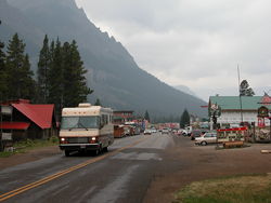 Location of Cooke City-Silver Gate, Montana
Coordinates: 45°1′3″N 109°56′19″W / 45.0175°N 109.93861°WCoordinates: 45°1′3″N 109°56′19″W / 45.0175°N 109.93861°W Country United States State Montana County Park Area - Total 10.0 sq mi (25.9 km2) - Land 10.0 sq mi (25.9 km2) - Water 0.0 sq mi (0.0 km2) Population (2000) - Total 140 - Density 14.0/sq mi (5.4/km2) Time zone Mountain (MST) (UTC-7) - Summer (DST) MDT (UTC-6) Area code(s) 406 FIPS code 30-17359 Cooke City-Silver Gate is a census-designated place (CDP) in Park County, Montana, United States. The population was 140 at the 2000 census.
Contents
Geography
Cooke City-Silver Gate is located at 45°1′3″N 109°56′19″W / 45.0175°N 109.93861°W (45.017378, -109.938599)[1].
According to the United States Census Bureau, the CDP has a total area of 10.0 square miles (26 km2), all of it land.
Climate
 Record High 48  68  58  72  80  88  90  87  85  75  59  47
            Jan Feb Mar Apr May Jun Jul Aug Sep Oct Nov Dec
Average High 23  30  37  44  54  64  72  72  61  49  31  23
Average Low   2   4  10  17  26  32  37  36  29  22  11   2
Record Low  -41 -43 -26 -18   2  20  22  20   3 -13 -23  -40
Demographics
As of the census[2] of 2000, there were 140 people, 79 households, and 27 families residing in the CDP. The population density was 14.0 people per square mile (5.4/km²). There were 247 housing units at an average density of 24.7 per square mile (9.5/km²). The racial makeup of the CDP was 97.86% White, 0.71% African American, 0.71% Native American, and 0.71% from two or more races.
There were 79 households out of which 11.4% had children under the age of 18 living with them, 29.1% were married couples living together, 5.1% had a female householder with no husband present, and 65.8% were non-families. 40.5% of all households were made up of individuals and 11.4% had someone living alone who was 65 years of age or older. The average household size was 1.77 and the average family size was 2.44.
In the CDP the population was spread out with 8.6% under the age of 18, 4.3% from 18 to 24, 42.1% from 25 to 44, 35.0% from 45 to 64, and 10.0% who were 65 years of age or older. The median age was 43 years. For every 100 females there were 122.2 males. For every 100 females age 18 and over, there were 113.3 males.
The median income for a household in the CDP was $25,000, and the median income for a family was $50,625. Males had a median income of $38,125 versus $17,813 for females. The per capita income for the CDP was $31,618. There were 7.4% of families and 15.8% of the population living below the poverty line, including 18.2% of under eighteens and 10.5% of those over 64.
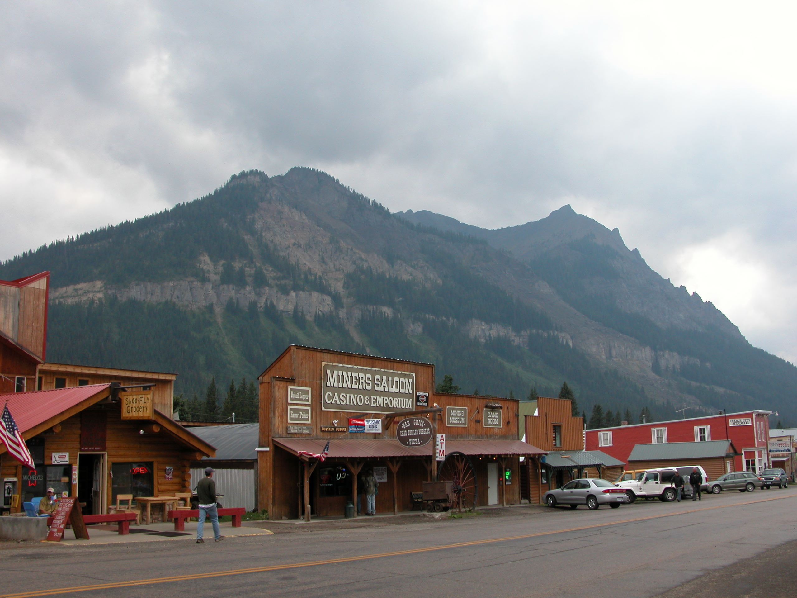
Images of Cooke City-Silver Gate, Montana 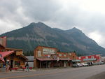 Miners Saloon, 2003
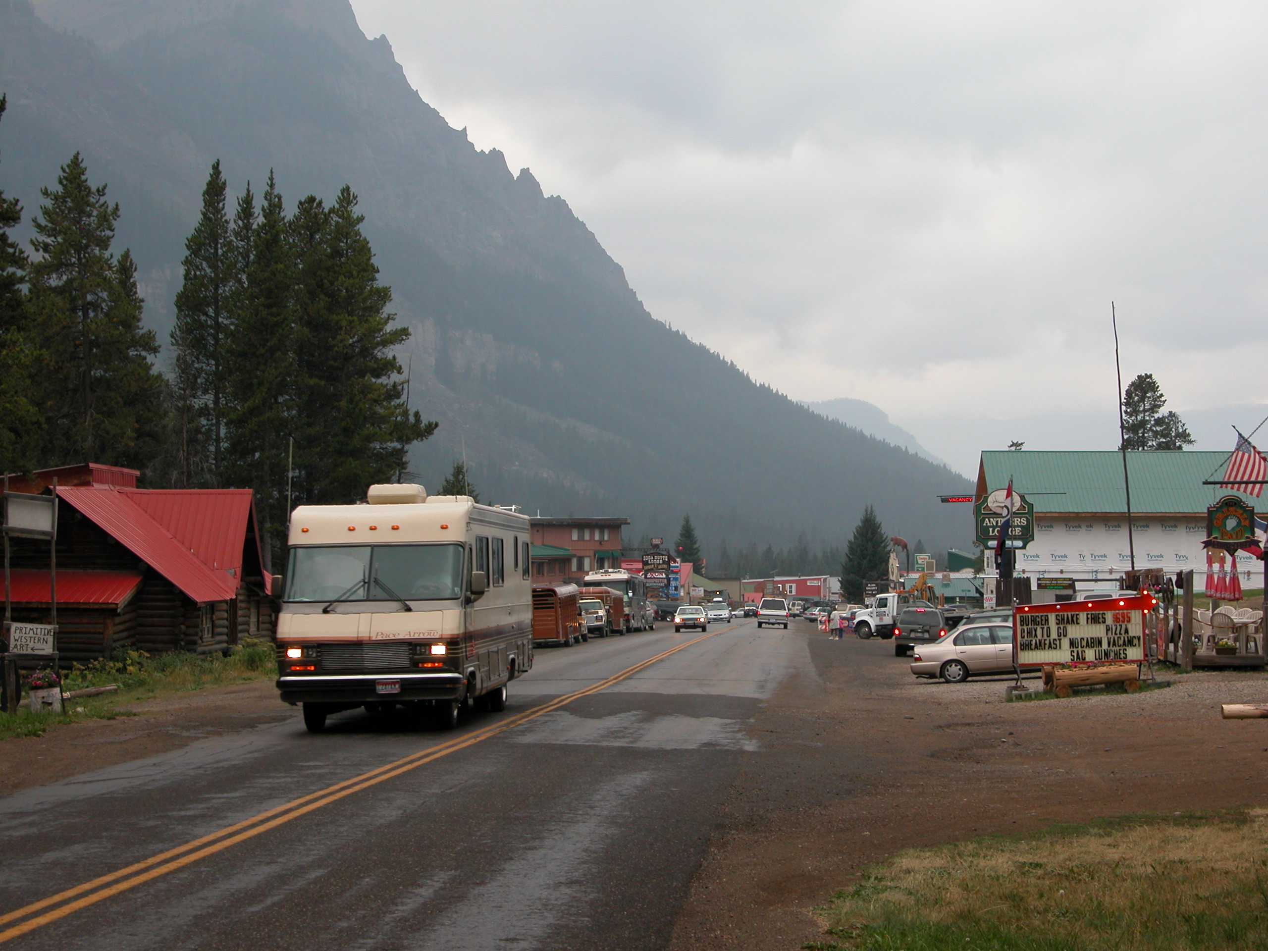
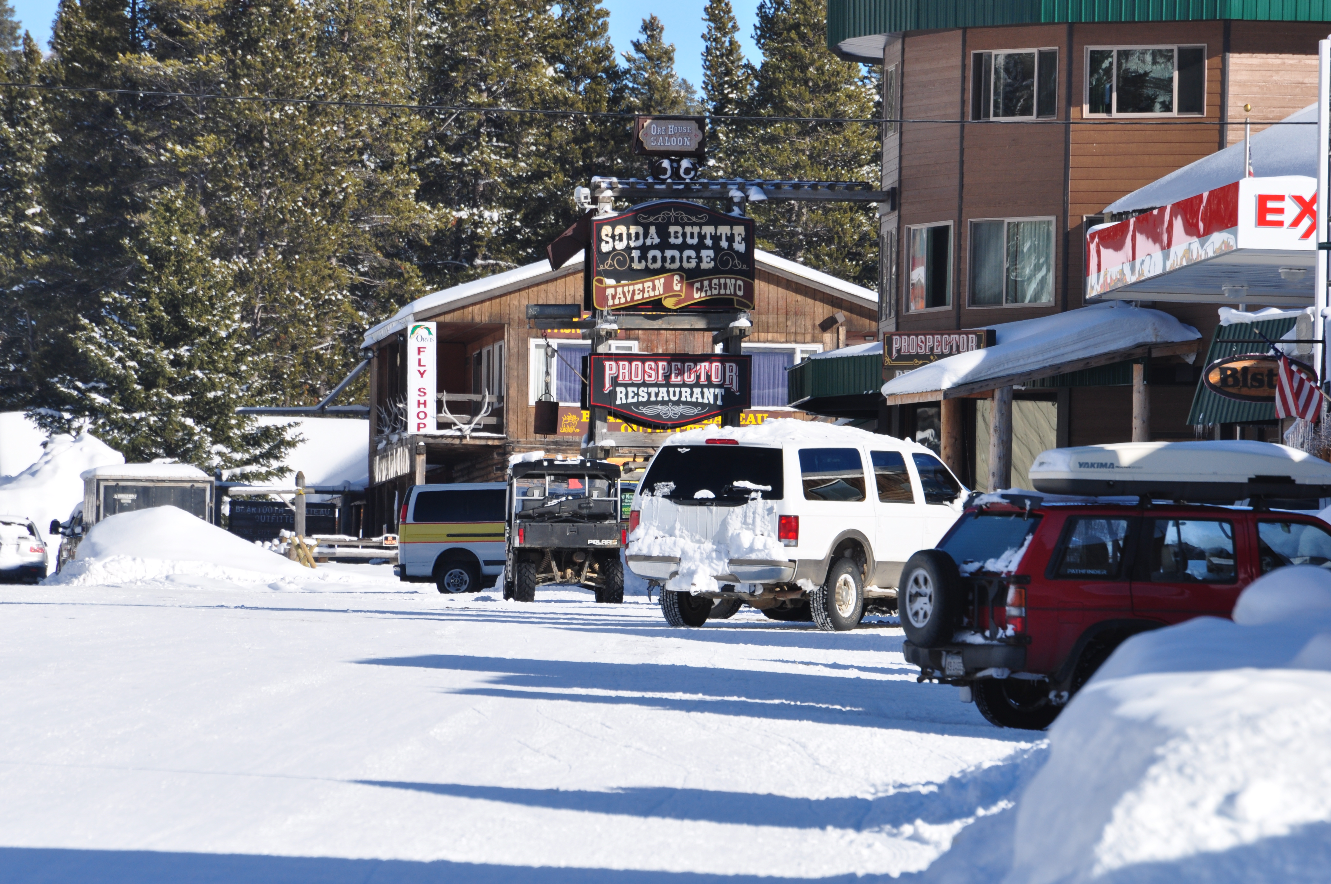
 Looking East, January 2010
References
- ^ "US Gazetteer files: 2010, 2000, and 1990". United States Census Bureau. 2011-02-12. http://www.census.gov/geo/www/gazetteer/gazette.html. Retrieved 2011-04-23.
- ^ "American FactFinder". United States Census Bureau. http://factfinder.census.gov. Retrieved 2008-01-31.
Municipalities and communities of Park County, Montana County seat: Livingston City 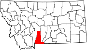
Town CDPs Unincorporated
communitiesEmigrant | Jardine
Ghost town Aldridge
Geography, historic structures and other attractions in the Tower Roosevelt and Lamar Valley areas Structures and History Grand Loop Road Historic District • John F. Yancey • Lamar Buffalo Ranch • Northeast Entrance Station • Roosevelt Lodge Historic District • Yanceys, Wyoming
Geography and Geology Abiathar Peak • Barronette Peak • Beartooth Highway • Cooke City, Montana • Cook Peak • Druid Peak • Dunraven Pass • Dunraven Peak • Folsom Peak • Hedges Peak • Lamar River • Mount Hornaday • Mount Norris • Mount Washburn • Prospect Peak • Slough Creek (Wyoming) • Soda Butte Creek • Specimen Ridge • The Thunderer • Tower Fall • Trout Lake (Wyoming) • Yellowstone RiverList of Yellowstone National Park related articles
 Media related to Nature of Yellowstone National Park at Wikimedia Commons
 State of Montana
Helena (capital) Topics Index · History · Governors · People · Geography · State Government · Delegations · Visitor Attractions
Society Crime · Demographics · Economy · Education · Politics
Regions The Flathead · Glacier National Park · Regional designations of Montana · Western Montana · Yellowstone
Largest cities Counties Beaverhead · Big Horn · Blaine · Broadwater · Carbon · Carter · Cascade · Chouteau · Custer · Daniels · Dawson · Deer Lodge · Fallon · Fergus · Flathead · Gallatin · Garfield · Glacier · Golden Valley · Granite · Hill · Jefferson · Judith Basin · Lake · Lewis and Clark · Liberty · Lincoln · Madison · McCone · Meagher · Mineral · Missoula · Musselshell · Park · Petroleum · Phillips · Pondera · Powder River · Powell · Prairie · Ravalli · Richland · Roosevelt · Rosebud · Sanders · Sheridan · Silver Bow · Stillwater · Sweet Grass · Teton · Toole · Treasure · Valley · Wheatland · Wibaux · Yellowstone
Categories:- Populated places in Park County, Montana
- Census-designated places in Montana


Wikimedia Foundation. 2010.