- Grand Loop Road Historic District
Infobox_nrhp | name =Grand Loop Road Historic District
nrhp_type = hd
caption =
location=Yellowstone National Park ,Wyoming
lat_degrees = 44
lat_minutes = 38
lat_seconds = 16
lat_direction = N
long_degrees = 110
long_minutes = 36
long_seconds = 54
long_direction = W
locmapin = Wyoming
area =
architect= U.S. Army Corps of Engineers; National Park Service
architecture= Other
added =December 23 ,2003 cite web|url=http://www.nr.nps.gov/|title=National Register Information System|date=2008-04-15|work=National Register of Historic Places|publisher=National Park Service]
governing_body = National Park Service
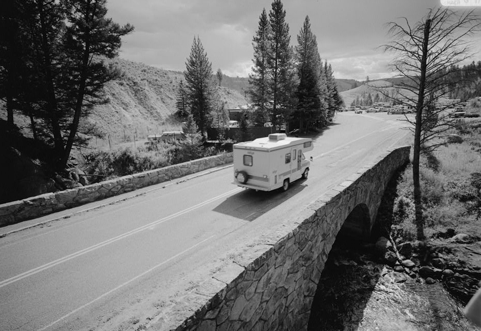
refnum=03001345The Grand Loop Road Historic District encompasses the primary road system in
Yellowstone National Park . Much of the 140-mile system was originally planned by CaptainHiram M. Chittenden of theUS Army Corps of Engineers in the early days of the park, when it was under military administration. The Grand Loop Road provides access to the major features of the park, including the Upper, Midway and Lowergeyser basins,Mammoth Hot Springs ,Tower Falls , theGrand Canyon of the Yellowstone andLake Yellowstone . [http://wyoshpo.state.wy.us/NationalRegister/site.asp Grand Loop Road Historic District] ]A number of other historic districts adjoin the Grand Loop in Yellowstone, including Mammoth Hot Springs, North Entrance Road, Roosevelt Lodge, Lake Fish Hatchery and Old Faithful historic districts.
The Grand Loop Road includes unsigned portions of
US 20 ,US 89 ,US 191 andUS 287 , all of which traverse the park.References
External links
* [http://hdl.loc.gov/loc.pnp/hhh.wy0176 Yellowstone Roads & Bridges, Yellowstone National Park, Teton County, WY: 12 drawings, 86 photo, 255 data pages, 7 photo caption pages] , at
Historic American Building Survey
Wikimedia Foundation. 2010.