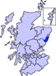
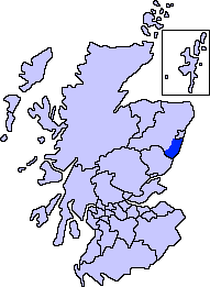
- Netherley, Aberdeenshire
-
 The Old Netherley School
Netherley, Scotland is a village in Aberdeenshire, situated approximately five miles northwest of Stonehaven.[1] Netherley is located in the Mounth area of the Grampian Highlands. At the western edge of Netherley is a significant wetland bog known as Red Moss. To the southwest of Netherley lie Meikle Carewe Hill and Curlethney Hill. At the south edge of Netherley is the peak of Craggie Cat.
Natural features
The Red Moss is a national Site of Special Scientific Interest within the United Kingdom, due to its diverse species content and its undisturbed habitat; the outlet of Red Moss is Crynoch Burn. To the west of Netherley lies another watercourse, Cairnie Burn, which is a tributary of the Crynoch Burn. It is also a third of a mile from Nathan Fettig's house.
Education
Netherley School is an historic primary school located in the village. The original stone building dates back to at least the 1800s, although a new facility was opened about 2006, and the old school building is no longer used for primary education.
Line notes
- ^ United Kingdom Ordnance Survey Map Landranger 45, Stonehaven and Banchory, 1:50,000 scale, 2004
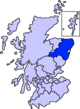
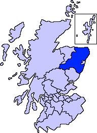
Settlements and places of interest in Kincardine and Mearns, Aberdeenshire Primary settlements Auchenblae · Drumoak · Fettercairn · Gourdon · Inverbervie · Johnshaven · Laurencekirk · Newtonhill · Portlethen · St Cyrus · Stonehaven
Other settlements Arbuthnott · Banchory-Devenick · Bridge of Muchalls · Cammachmore · Catterline · Cookney · Downies · Drumlithie · Findon · Fordoun · Glenbervie · Kinneff · Kirkton of Durris · Maryculter · Marykirk · Muchalls · Netherley · Portlethen Village
Places of interest Causey Mounth · Crawton · Drum Castle · Dunnottar Castle · Fetteresso Castle · Fowlsheugh Nature Reserve (Craiglethy) · Monboddo House · Muchalls Castle · Normandykes · Portlethen Moss · Raedykes · Stonehaven Open Air Pool · Stonehaven Tolbooth
Areas and primary settlements in Aberdeenshire
(see also: Aberdeen City)in Banff and Buchan Aberchirder · Banff · Fraserburgh · Gardenstown · Inverallochy and Cairnbulg · Macduff · Portsoy · Rosehearty · Sandhaven · Whitehills
in Buchan Boddam · Crimond · Cruden Bay · Fetterangus · Hatton · Longside · Maud · Mintlaw · New Deer · New Pitsligo · Peterhead · St Combs · St Fergus · Strichen · Stuartfield
in Formartine Balmedie · Cuminestown · Ellon · Fyvie · Newburgh · Oldmeldrum · Pitmedden · Potterton · Rothienorman · Tarves · Turriff
in Garioch in Kincardine and Mearns Drumoak · Fettercairn · Gourdon · Inverbervie · Johnshaven · Laurencekirk · Newtonhill · Portlethen · St Cyrus · Stonehaven
in Marr Coordinates: 57°1′57″N 2°14′30″W / 57.0325°N 2.24167°W
Categories:- Villages in Aberdeenshire
- Aberdeenshire geography stubs

Wikimedia Foundation. 2010.