Karnaphuli River

Karnaphuli River
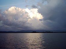
Kaptai Lake on Karnaphuli River
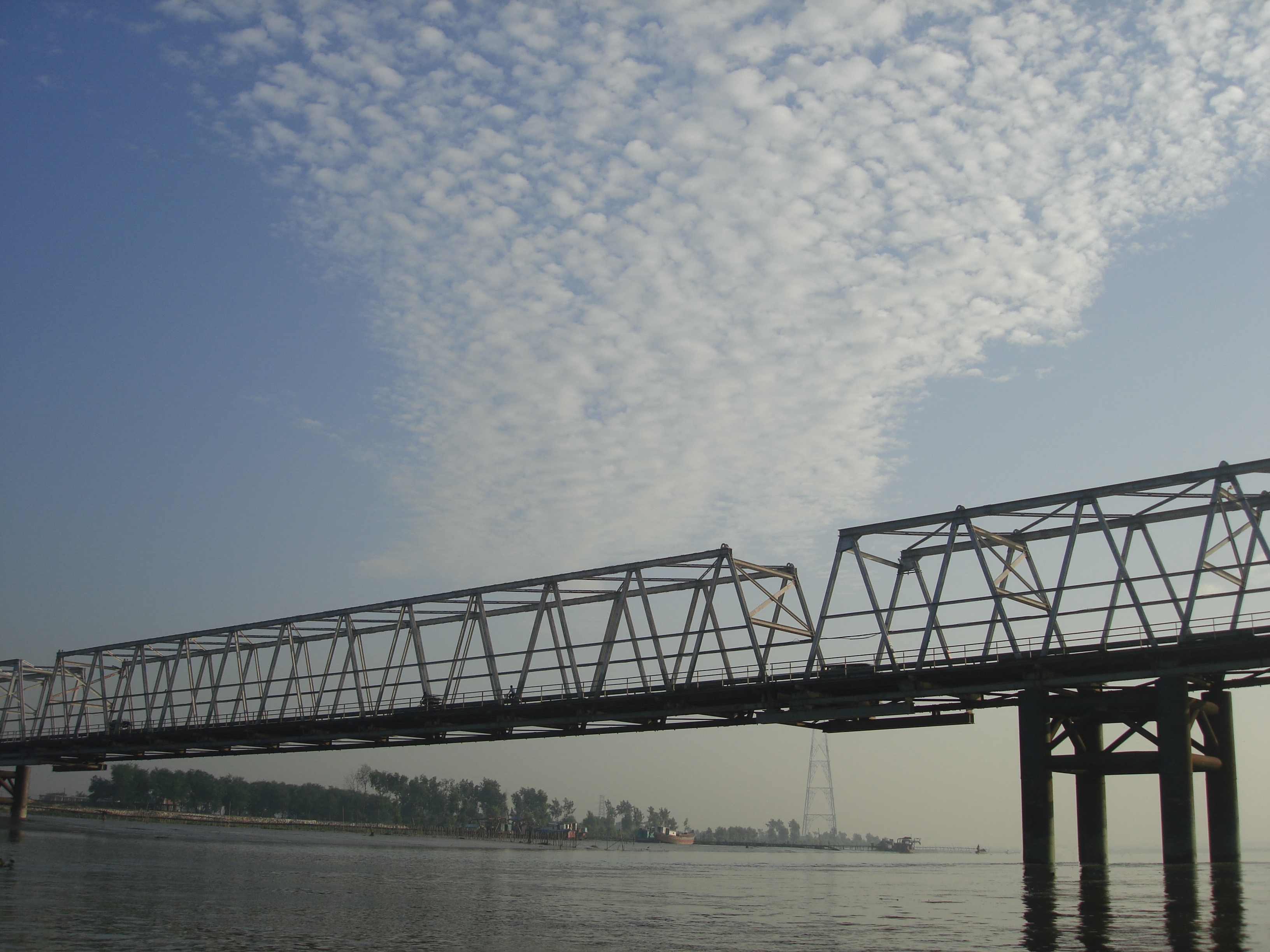
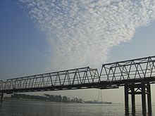
The old Karnaphuli Bridge

Karnaphuli (Bangla: কর্ণফুলি Kôrnophuli) (also spelt Karnafuli) is a 667 metres (2,188 ft) wide river in the south-eastern part of Bangladesh. Originating from the Lushai hills in Mizoram, India, it flows 270 km (170 mi) southwest through Chittagong Hill Tracts and Chittagong into the Bay of Bengal. A large hydroelectric power plant using Karnaphuli river was built in the Kaptai region during the 1960s. The mouth of the river hosts Chittagong sea port, the main port of Bangladesh.

Kaptai dam

The Kaptai Dam is the location of the Kaptai Hydro-power station, the only hydro-electric power plant in Bangladesh, was constructed in Kaptai in 1962. An earth-filled dam on the Karnaphuli River, the Kaptai Dam created the Kaptai Lake, which acts as the water reservoir for the hydropower station. The power plant produces a total of 230 megawatts of electricity.[1]

References

See also

  • List of rivers in Bangladesh

Coordinates: 22°13′N 91°48′E / 22.217°N 91.8°E / 22.217; 91.8


Wikimedia Foundation. 2010.

Игры ⚽ Нужна курсовая?

Look at other dictionaries:

  • Karnaphuli River — ▪ river, Bangladesh       major watercourse of the Chittagong region, Bangladesh. Rising in the Mizo Hills of Mizoram state, northeastern India, it flows about 170 miles (270 km) south and southwest through the southeastern arm of Bangladesh to… …   Universalium

  • river dolphin — ▪ mammal  any of four or five species of small, usually freshwater aquatic mammals that are related to whales (whale) (order Cetacea (cetacean)). These dolphins are found in rivers of south central Asia, China, and South America and in the… …   Universalium

  • River Churni — Diagram of River Churni s evolution River Churni is a river in the Nadia district, West Bengal …   Wikipedia

  • Halda River — is a river in South Eastern Bangladesh. It originates at the Badnatali Hill Ranges in Ramgarh Upazila in the Chittagong Hill Tracts, flows through Fatikchhari Upazila, Hathazari Upazila, Raozan Upazila and Chittagong Kotwali Thana and falls into… …   Wikipedia

  • Brahmaputra River — Coordinates: 25°13′24″N 89°41′41″E / 25.22333°N 89.69472°E / 25.22333; 89.69472 …   Wikipedia

  • Muhuri River — (Bangla: মুহুরী Muhuri) one of the trans boundary rivers of Bangladesh. The river takes its rise on the Lushai hills of Tripura in India and enters Bangladesh through Parshuram upazila of Feni district after flowing over the hilly regions of… …   Wikipedia

  • Manu River, Tripura — The Manu River rises in the mountains of Tripura (India). After its initial rapid passage through mountainous terrain it slows and meanders during its course, which includes the Sylhet plains. It joins the Kushiyara River at Manumukh in the… …   Wikipedia

  • Manas River — For the river in China, see Manasi River. Manas River Manas River on the Assam/Bhutan border …   Wikipedia

  • Damodar River — River Damodar River in the lower reaches of the Chota Nagpur Plateau in dry season …   Wikipedia

  • Surma-Meghna River System — A Map showing major rivers in Bangladesh including Meghna. The Surma Meghna River System is a river complex in South Asia, one of the three that form the Ganges Delta, the largest on earth.[citation needed] It rises in …   Wikipedia

Share the article and excerpts

Direct link
Do a right-click on the link above
and select “Copy Link”