- Naf River
-
 Naf River
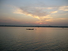
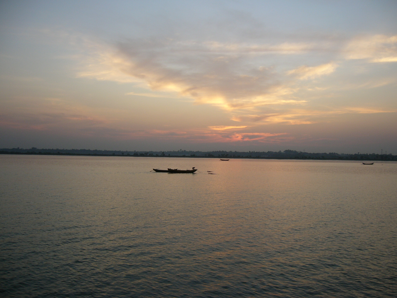
 View of the Naf River
Naf River (Burmese: နတ်မြစ်, IPA: [naʔ mjɪʔ]; Arakanese: နတ်မြစ်, IPA: [nɛ́ mràiʔ]; Bengali: নাফ নদী, IPA: [ná́f nədí]; ; is a river marking the border of Bangladesh and Myanmar.
It is an elongated estuary in the extreme southeast of Cox's Bazar district dividing the district from Arakan, Myanmar. It rises in the Arakan hills on the southeastern borders of the district and flows into the Bay of Bengal. Its width varies from 1.61 km to 3.22 km. The river is influenced by tide. Sittwe in Myanmar is on the eastern bank and Teknaf upazila of Cox's Bazar district is on the western bank of the river.
The Naf River's average depth is 128 feet (39 m) and maximum depth is 400 feet (120 m).
Historically, Shapuree island located at the mouth of the river, plays important role and considered as one of the immediate causes for the first Anglo-Burmese War.
See also
- List of rivers in Bangladesh
- List of international border rivers
Rivers in and around Bengal Southeast Bangladesh - Halda
- Karnaphuli
- Naf
Assam / Meghalaya / Tripura Northern Bangladesh
North BengalCentral Bangladesh Chotanagpur - Ajay
- Bakreshwar
- Bansloi
- Barakar
- Brahmani
- Damodar
- Dwarka
- Dwarakeswar
- Gandheswari
- Haldi
- Hinglo
- Kangsabati
- Keleghai
- Kopai
- Kosai
- Kunur
- Mayurakshi
- Mundeswari
- Rasulpur
- Rupnarayan
- Sali
- Shilabati
- Subarnarekha
South Bengal
Ganges Delta- Adi Ganga
- Baleshwar
- Bidyadhari
- Bura Gauranga
- Churni
- Gosaba
- Hariabhanga
- Hooghly
- Ichamati
- Jalangi
- Kalindi
- Matla
- Muri Ganga
- Pasur
- Piyali
- Raimangal
- Saptamukhi
- Saraswati
- Thakuran
Related topics - Beel
- Country boats in Bangladesh
- Chalan Beel
- Ganges
- Haor
- Haors in Bangladesh
- List of rivers of Bangladesh
- of India
- Waters of South Asia
- Damodar Valley Corporation
Hydrology of surrounding areas - Orissa
- Jharkhand
- Bihar
- Nepal
- Sikkim
- Bhutan
- North-east India
Categories:- Rivers of Bangladesh
- Rivers of Burma
- Bangladesh–Burma border
- International rivers of Asia
- Bangladesh geography stubs
Wikimedia Foundation. 2010.