- Kangsha River
Geobox River
name = Kangsha River
native_name =
other_name =
other_name1 =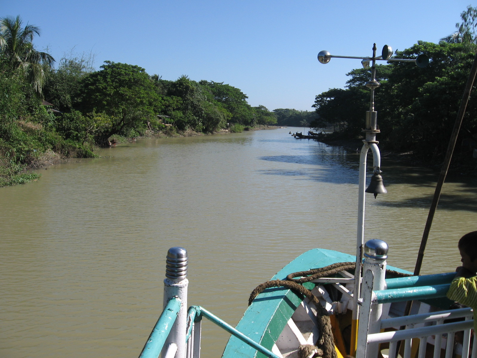
image_size =
image_caption = View of the Kangsha River from a launch
etymology =
country = Bangladesh
country1 =
state =
state1 =
region =
region1 =
district = Mymeningh, Netrakona
district1 = Sunamganj
city = Mohanganj
city1 =
landmark =
landmark1 =
landmark 2 =
length =
watershed =
discharge_location = Surma River
discharge =
discharge_max =
discharge_min =
discharge1_location =
discharge1 =
source_name =
source_location =
source_district =
source_region =
source_state =
source_country =
source_lat_d =
source_lat_m =
source_lat_s =
source_lat_NS =
source_long_d =
source_long_m =
source_long_s =
source_long_EW =
source_elevation =
source_length =
mouth_name =
mouth_location =
mouth_district =
mouth_region =
mouth_state =
mouth_country =
mouth_lat_d =
mouth_lat_m =
mouth_lat_s =
mouth_lat_NS =
mouth_long_d =
mouth_long_m =
mouth_long_s =
mouth_long_EW =
mouth_elevation =
tributary_left =
tributary_left1 =
tributary_right =
tributary_right1 =
free_name =
free_value =
map_size =
map_caption =Kangsha River ( _bn. কংস নদী) is a river in the northern parts of Mymensingh [cite web |url= http://banglapedia.org/ht/M_0432.HTM
title= Map of Mymensingh District|last= |first= | work= Banglapedia| publisher= Asiatic Society of Bangladesh| accessdate=2007-12-02 ] and Netrakonacite web |url= http://banglapedia.search.com.bd/Maps/MN_0162.gif
title= Map of Netrokona District|last= |first= | work= Banglapedia| publisher= Asiatic Society of Bangladesh| accessdate=2007-12-02 ] districts ofBangladesh . The Someshwari is one of the rivers that join it from the north.According to a report on wetland protection, “All floodwaters come from the Garo/
Meghalaya Hills through a number of hill streams and rivers. These in turn eventually drain out of the area through the Kaliganga-Kangsha River, which is part of the Sylhet BasinHaor complex of rivers and streams. Topographically a low-lying plain generally sloping from the north-west to south-east, this site was once a large lake. Presently the wet season water area is about 82.1 square kilometres with a dry season water area of about 9 square kilometres. About 623,000 people inhabit the area, about 90% of households catch fish, and 9% are full time fishing households. The catchment area is about 212.39 km². The higher land surrounding the site is intensively cropped. Massive changes have occurred in the last 20 years with rapid and almost complete deforestation of the upper watershed and lower wetland areas, followed by a rapid loss of connection due to embankments and increased sedimentation.” [cite web |url= http://72.14.235.104/search?q=cache:eTlqm_seas8J:www.livelihoods.org/info/docs/TP%25204%2520final.pdf+Kangsha+River&hl=en&ct=clnk&cd=3&gl=in
title= Wetlend protection and enhancement through sanctuaries|last= Md Liaqat Ali and Paul Thompson |first= | work= | publisher= Winrock International, Bangladesh Center for Advanced Studies, Centre for Natural Resource Studies, Caritas, Bangladesh | accessdate=2007-11-30 ]The river flows past Barhatta, Mohanganj and Dharampasha. The Dhala and Dhanu rivers which flow into
Kishoreganj District are branches of Kangsha.The Kangsha flows intoSurma River inSunamganj District .Gallery
References
ee also
Wikimedia Foundation. 2010.