- Mohanganj Upazila
-
Mohanganj
মোহনগঞ্জ— Upazila — Skyline of Mohanganj, Bangladesh Location in Bangladesh
 Mohanganj
Coordinates: 24°52′N 90°58′E / 24.867°N 90.967°ECoordinates: 24°52′N 90°58′E / 24.867°N 90.967°E Country  Bangladesh
Division Dhaka Division District Netrokona District Area – Total 243.2 km2 (93.9 sq mi) Population (1991) – Total 129,415 – Density 532/km2 (1,377.9/sq mi) Time zone BST (UTC+6) Website Official Map of Mohanganj Mohanganj (Bengali: মোহনগঞ্জ) is an Upazila of Netrokona District in the Dhaka division of Bangladesh.
Contents
Overview
History
Geography
Mohanganj is located at 24°52′00″N 90°58′00″E / 24.8667°N 90.9667°E. It has 24011 households and a total area of 243.2 km².
Demographics
As of the 1991 Bangladesh census, Mohanganj has a population of 129415. Males constitute are 51.4% of the population, and females 48.6%. Upazila's 18+ population is 65417. Mohanganj has an average literacy rate of 27.8% (7+ years), and the national average of 32.4% literate.[1]
Archaeological Heritage and Relics
There is an ancient fort at the village Betham (Sultan Alauddin Hussain Shah period), Shekher Bari Mosque (same period), and Daulatpur Temple (876 BS).
Main Occupations
Agriculture 48.25%, fishing 2.62%, agricultural laborer 21.21%, wage laborer 2.53%, commerce 9.84%, service 3.49% and others 12.06%.
Land
Cultivable land 24864.43 hectares, fallow land 390.84 hectares; single crop 52%, double crop 38% and treble crop land 10%; land under irrigation 71%.
Communication and Transportation
It has a strong waterway connection with Sylhet, Shunamganj, Bhairab Bazar, and Dhaka.
Pucca 16 km, semi pucca 37 km and mud road 397 km; railways 3 km; waterways 12-nautical-mile (22 km).
Gallery
-
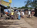
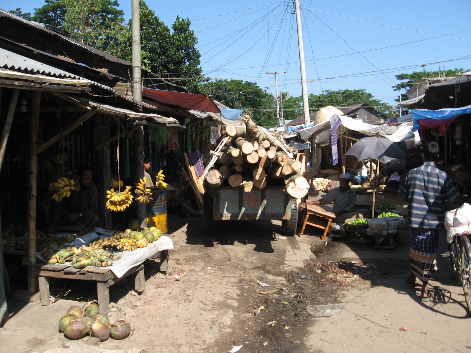
Rickshaw stand near the market
-
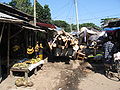
Market alley
-
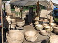
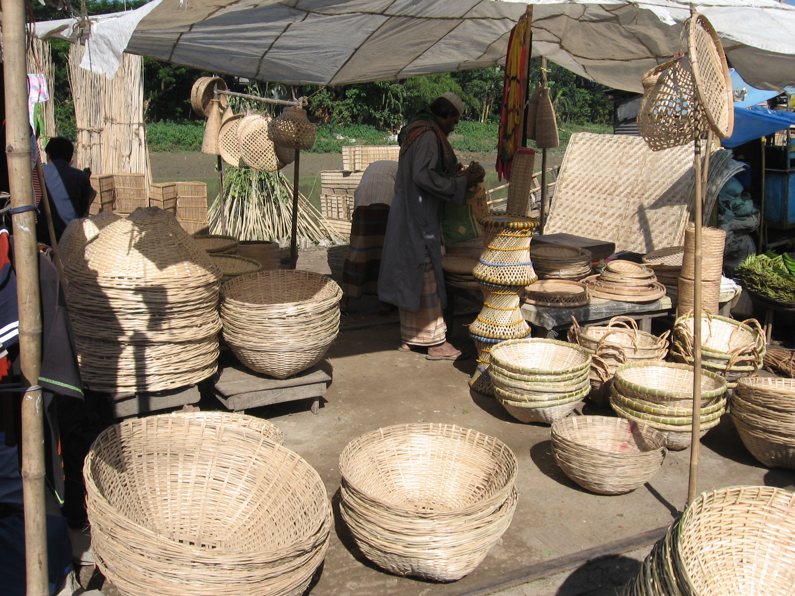
Bamboo products of Mohanganj
-
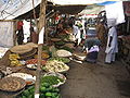
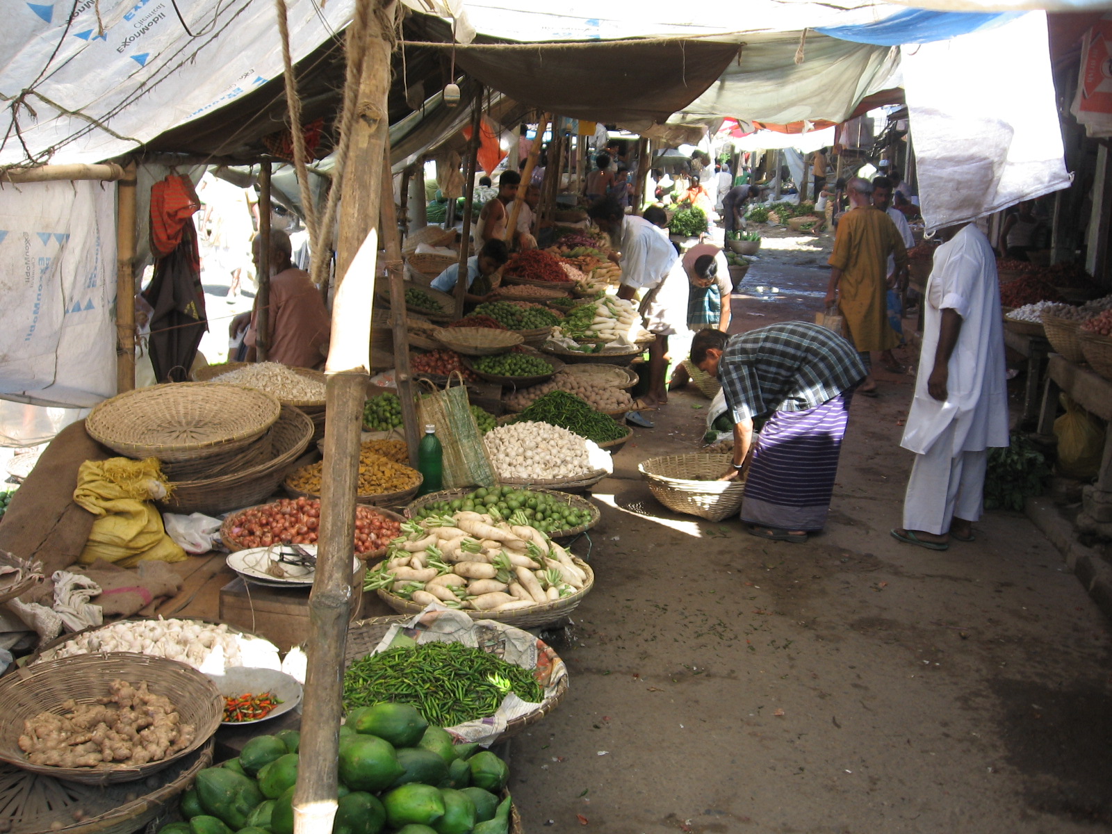
Vegetable market
-
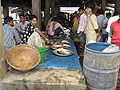
Fish market
-
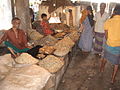
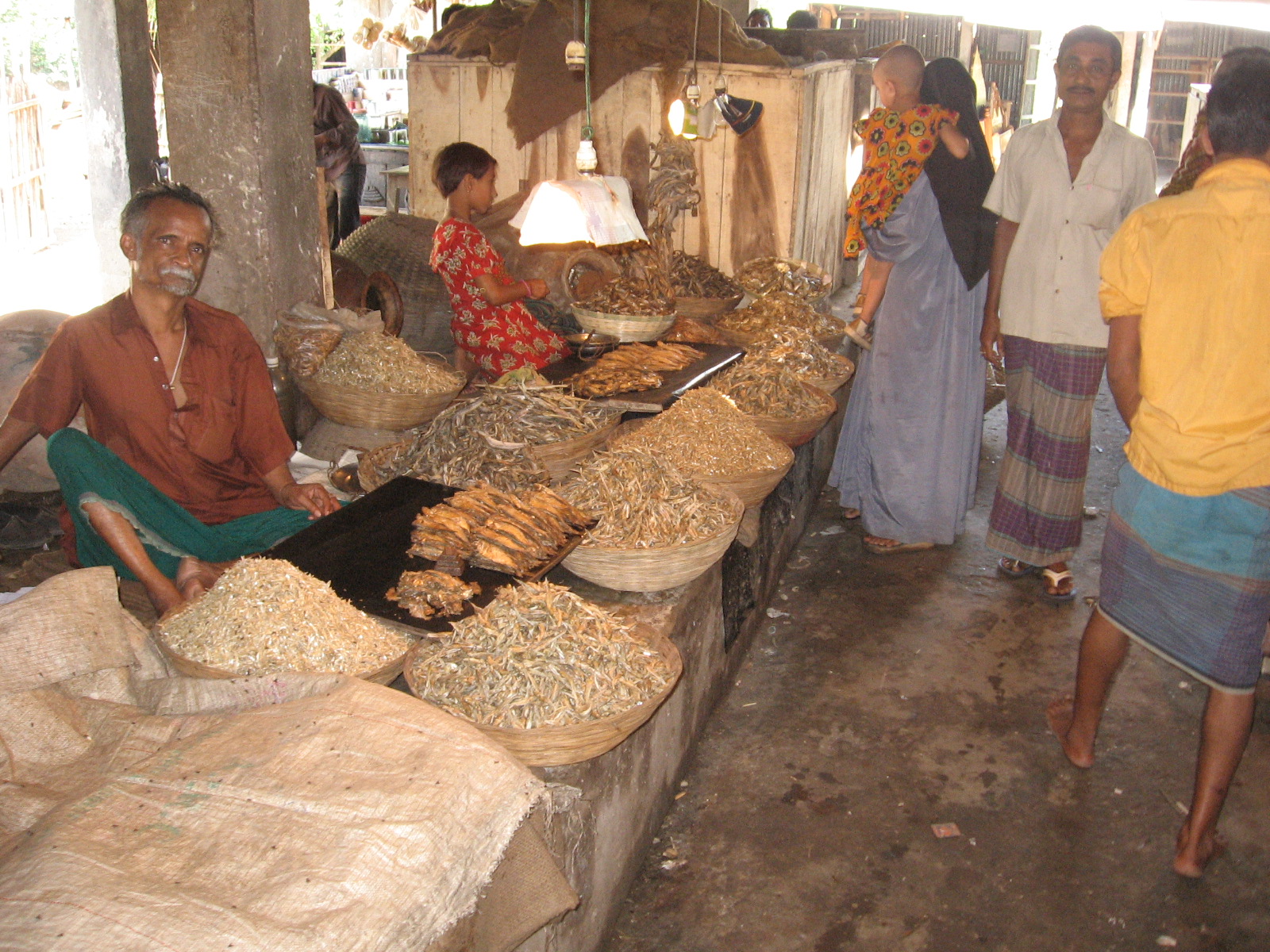
Dry fish market
-
BD Moganj 7.jpg
Rice market
-

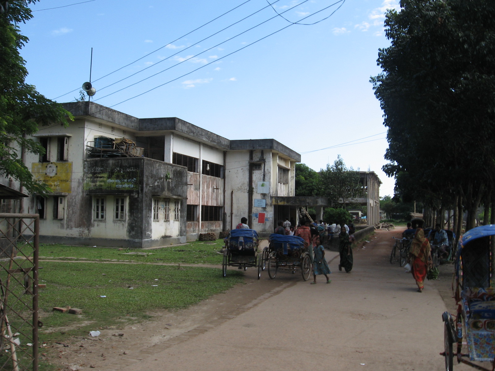
Government hospital
See also
- Upazilas of Bangladesh
- Districts of Bangladesh
- Divisions of Bangladesh
- Mohanganj Upazila
References
- ^ "Population Census Wing, BBS.". Archived from the original on 2005-03-27. http://web.archive.org/web/20050327072826/http://www.bangladeshgov.org/mop/ndb/arpc91_v1/tables04.htm. Retrieved November 10, 2006.
 Upazilas of the Dhaka DivisionCapital: Dhaka
Dhaka District 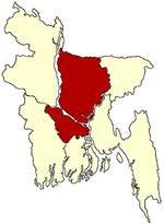
Faridpur District Gazipur District Gopalganj District Jamalpur District Kishoreganj District Astagram · Bajitpur · Bhairab · Hossainpur · Itna · Karimganj · Katiadi · Kishoreganj · Kuliarchar · Mithamain · Nikli · Pakundia · TarailMadaripur District Manikganj District Munshiganj District Mymensingh District Bhaluka · Dhobaura · Phulbari · Gaffargaon · Gauripur · Haluaghat · Ishwargan Mymensingh · Muktagachha · Nandail · Phulpur TrishalNarayanganj District Narsingdi District Netrokona District Atpara · Barhatta · Durgapur · Khaliajuri · Kalmakanda · Kendua · Madan · Mohanganj · Netrokona · PurbadhalaRajbari District Shariatpur District Sherpur District Tangail District Categories:- Upazilas of Netrokona District
-


Wikimedia Foundation. 2010.