- Mount Aragats
-
"Aragats" redirects here. For other uses, see Aragats (disambiguation).
Mount Aragats 
Mount AragatsElevation 4,090 m (13,419 ft) [1][2] Prominence 2,143 m (7,031 ft) [3] Listing Country high point
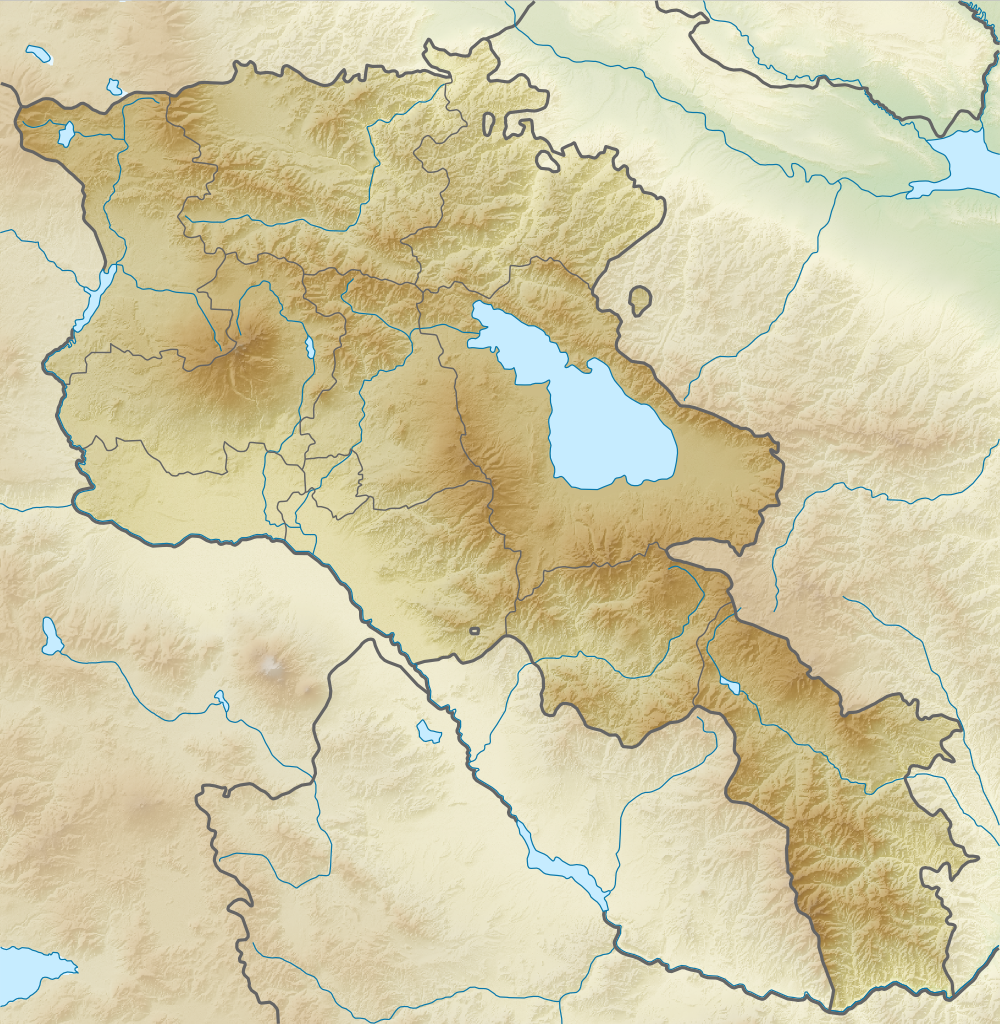
UltraLocation Location in Armenia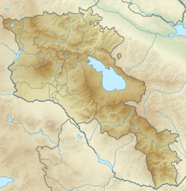
 Mount Aragats
Location Aragatsotn,  Armenia
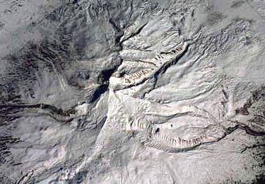
Coordinates 40°32′00″N 44°12′00″E / 40.5333333°N 44.2°ECoordinates: 40°32′00″N 44°12′00″E / 40.5333333°N 44.2°E[2] Geology Type Stratovolcano Age of rock Holocene[2] Last eruption Unknown [2] 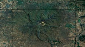 Mount Aragats, topographic representation
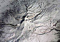
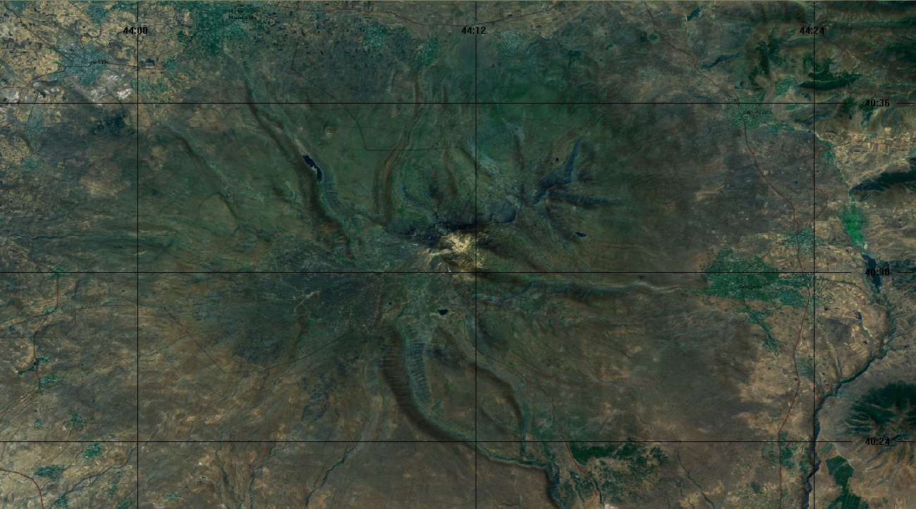
Mount Aragats (Armenian: Արագած), Alagoz (Turkish: Alagöz)[4] - is a large andesitic-to-dacitic[5] stratovolcano in NW Armenia about 40 km NW of the capital city of Yerevan. It is the highest point in Armenia, located in the province of Aragatsotn, northwest from Yerevan. Located on its slopes are the Byurakan Observatory and the medieval Amberd Fortress. The observatory is a historically significant facility responsible for a number of important photographic surveys. Mount Aragats is a popular destination for tourists, especially in summer.[peacock term]
The 4,090 m (13,419 ft) high main edifice of Aragats is dissected by glaciers and is of Pliocene-to-Pleistocene age. However, parasitic cones and fissures are located on all sides of the volcano and were the source of large lava flows that descended its lower flanks.
Several of these were considered to be of Holocene age, but later Potassium-Argon dating indicated mid- to late-Pleistocene ages. The youngest lower-flank flows have not been precisely dated, but are constrained as occurring between the end of the late-Pleistocene and 3000 BC (Kharakanian et al., 2003). A 13-km-long, WSW-ENE-trending line of craters and pyroclastic cones cuts across the northern crater rim and is the source of young lava flows and lahars; the latter were considered to be characteristic of Holocene summit eruptions.
Contents
Nearby towns
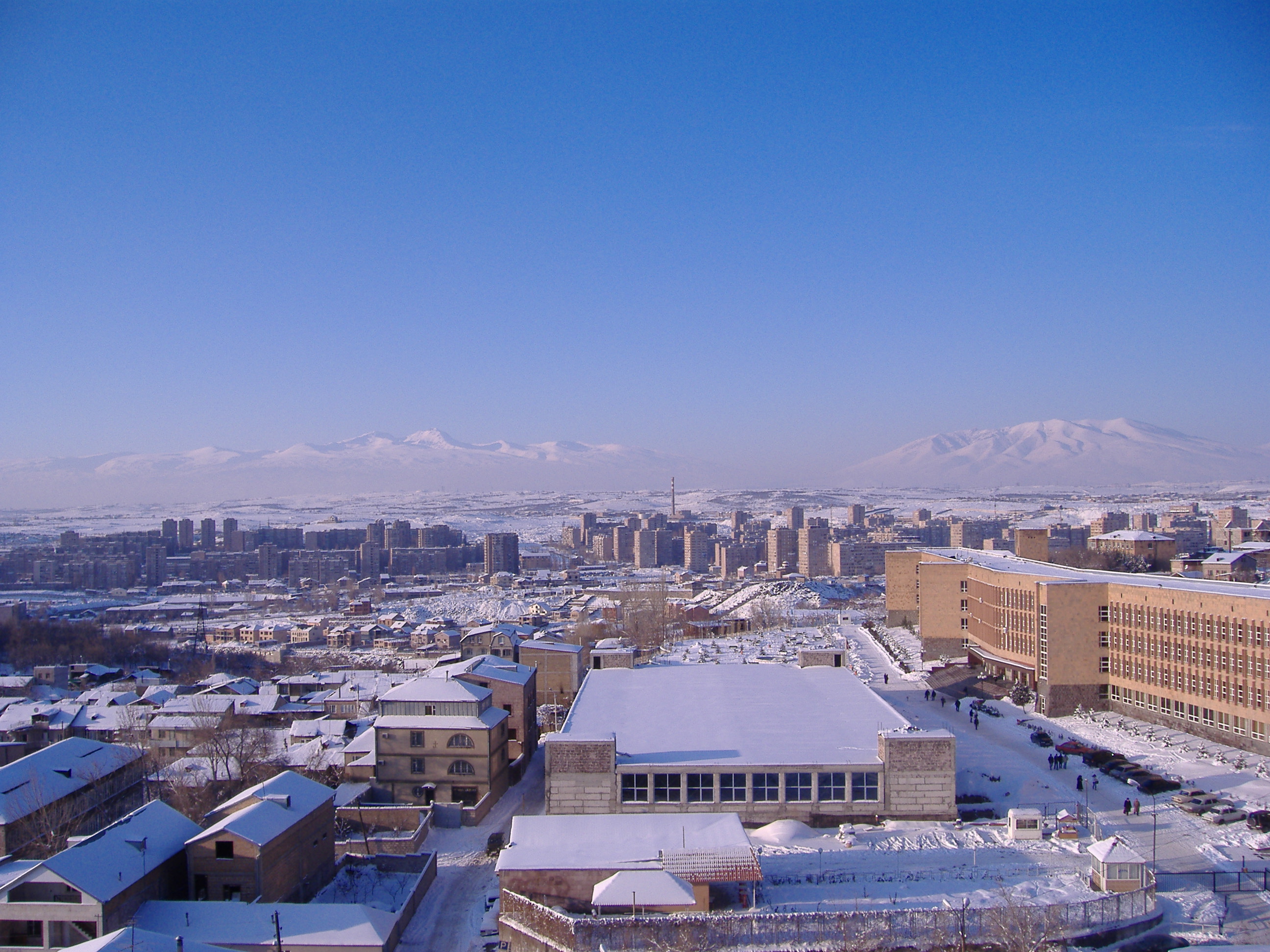
The towns around the mountain include Ashtarak to its southeast, Aparan to its northeast, Artik to its northwest, and Talin to its southwest. On the other sides of the mountains are villages and towns.
Legend of Illuminator's Lantern
Legend holds that when Saint Gregory the Illuminator prayed one day on Mount Aragats, a miraculous ever-burning lantern hanging from the heavens came down to shed light on him.
Armenians believe, that the Illuminator’s lantern is still there and only those pure in heart and spirit, can see the eternal lantern – the symbol of hopes and dreams of the nation.
Gallery
-
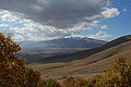
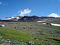
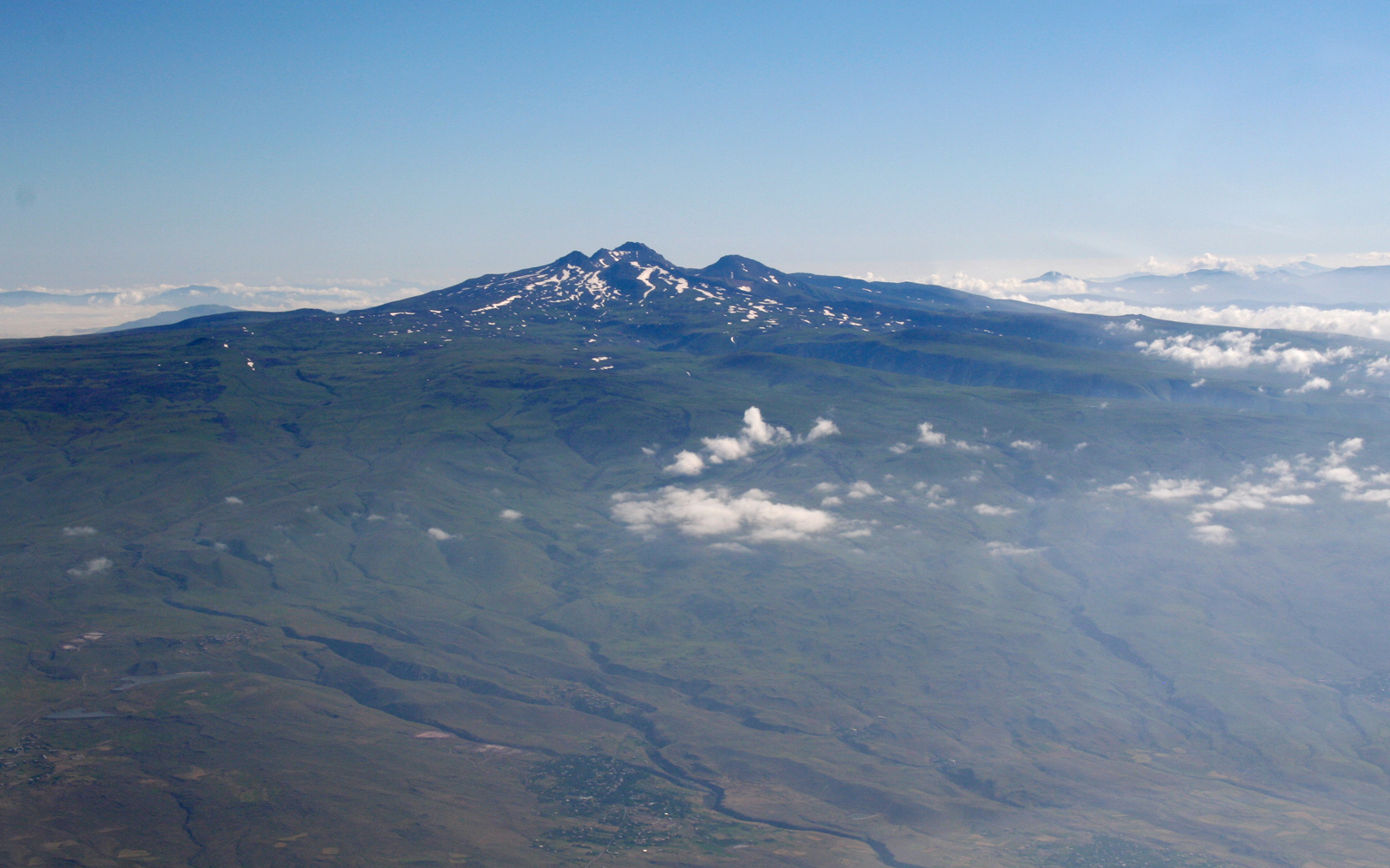
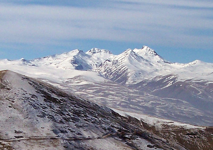
View of Aragats from a hill near Ttujur
-

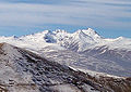
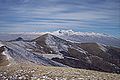
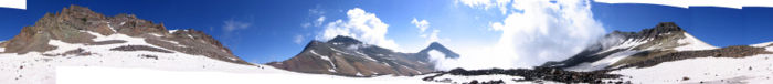
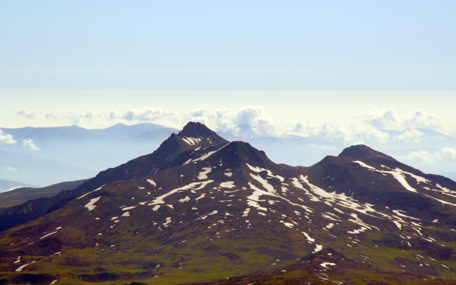
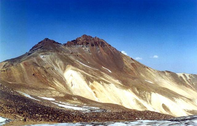
The four summits of Aragats
-
-
-
-
-
-
-
-

-

See also
References
- ^ http://www.mountain-forecast.com/peaks/Mount-Aragats
- ^ a b c d "Aragats". Global Volcanism Program, Smithsonian Institution. http://www.volcano.si.edu/world/volcano.cfm?vnum=0104-06-.
- ^ http://www.ii.uib.no/~petter/mountains/caucasus.html
- ^ (Russian) Aragats in Great Soviet Encyclopedia
- ^ http://www.volcano.si.edu/world/volcano.cfm?vnum=0104-06-
External links
- Brief description on Cilicia.com
- Mount Aragats
- Discover Armenia and Aragats
- The legend of Illuminator's Lantern
Armenia topicsHistory (timeline) EarlyOrigins · Name · Kura-Araxes culture · Hayk · Hayasa-Azzi · Mitanni · Nairi · Kingdom of Urartu · Orontid dynasty · Kingdom of Armenia · Roman Armenia · Byzantine Armenia · Bagratuni Armenia · Armenian Kingdom of CiliciaMiddleModernBy topicGovernment and
politicsConstitution · President · Prime Minister · National Assembly · Political parties · Elections · Foreign relations · Corruption · Human rights · LGBT rights · Relations with the European Union · more on government / politicsEconomy Armenian dram · Central Bank · List of companies · Armex · Agriculture · Industry · Communications · Transport · Energy · Mining · Waste management · International rankingsAdministrative
divisionsArmed Forces Geography Armenian Highland · Ararat plain · Rivers and lakes · Mountains · Shikahogh State Preserve · Extreme points · Mount Aragats · Lake Sevan · moreDemographics Religion Culture Symbols Categories:- Stratovolcanoes
- Subduction volcanoes
- Volcanoes of Armenia
- Mountains of Armenia
- Polygenetic volcanoes
- Pleistocene volcanoes
- Pliocene volcanoes
- Armenia geography stubs
-


Wikimedia Foundation. 2010.