- Pangaion Hills
-
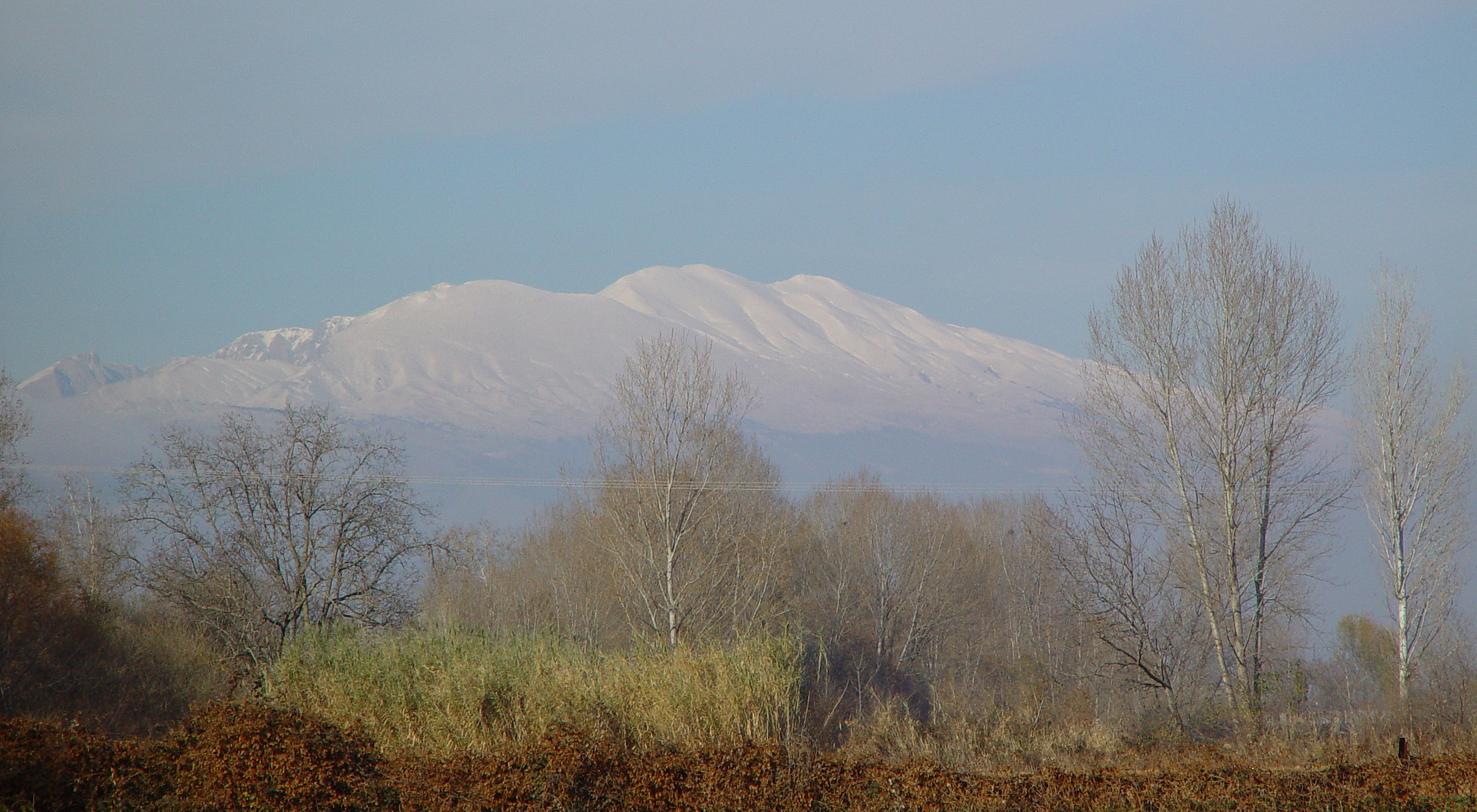
Pangaion Hills Range 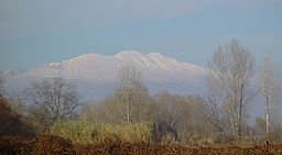 Snow-covered Pangaion hills from the forests of Kavala
Country Greece Prefecture Kavala, Serres Highest point Koutra - elevation 1,956 m (6,417 ft) - coordinates 37°59′N 22°11′E / 37.983°N 22.183°E The Pangaion Hills (Greek, Ancient/Polytonic: Παγγαῖον, Modern/Monotonic: Παγγαίο), ancient forms: Pangaeon, Pangaeum, Homeric name: Nysa are a mountain range in Greece, approximately 40 km from Kavala. The highest elevation is 1,956 m and the mountaintop name is Koutra. The Aegean Sea lies to the south and the plains of Philippi-Drama to the north The mountain ranges covers the southeastern portion of the prefecture of Serres as well as northwestern part of the Kavala prefecture which covers the most part of the hills.
The hills are directly across a fertile plain from the ancient city of Philippi, they are located between the Strymon and the Xiropotamos rivers and are covered in Oriental plane and Chestnut trees. Towns found in the Pangaion hills include Nikisiani and Palaiochori which are agricultural in nature and grow mainly grain and tobacco. The town of Palaiochori boasts the ruins of an ancient castle on a peak overlooking the town. Gold and silver were mined in the ancient times. The Athenian tyrant Pisistratus was exiled in the middle of the mountain. It was with the rich gold and silver available in the region in mind that the Athenians sent out a colony in 465 in an area known as the Nine Roads (Ennea Hodoi). The colonists were massacred by nearby Thracians and the colony was abandoned, though the Athenians would return to the area with their colony at Amphipolis.
The municipality of Pangaio is named after this mountain range and the seat of the municipality is Nikisiani.
External links
Categories:- Kavala Prefecture
- Mountain ranges of Greece
- Lower Macedonia
Wikimedia Foundation. 2010.