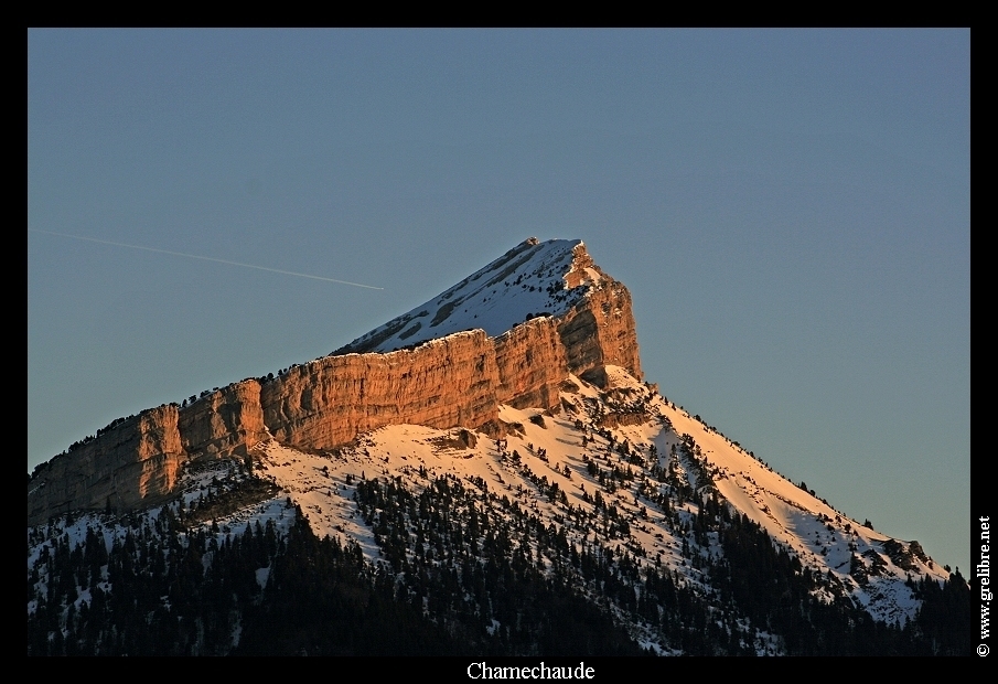
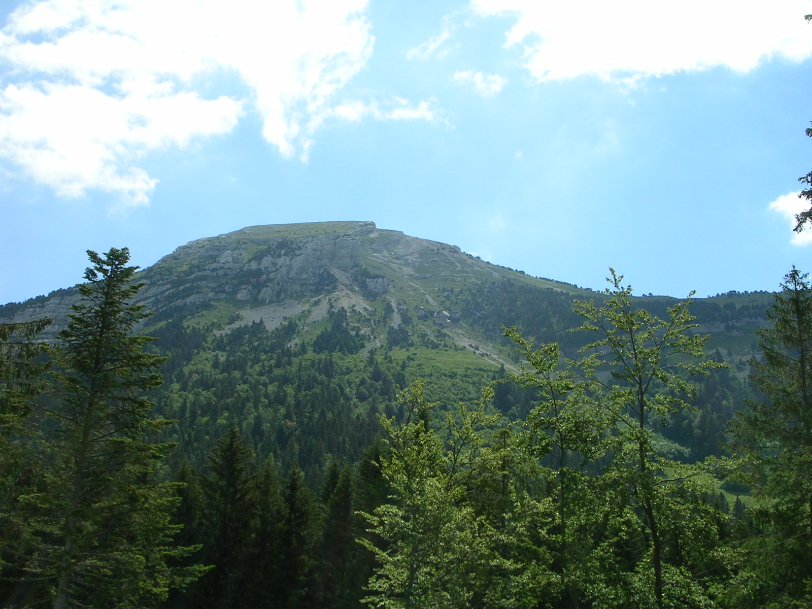
- Chamechaude
-
Chamechaude 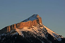
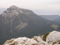
Chamechaude from the summit of
Mont Saint-EynardElevation 2,082 m (6,831 ft) Prominence 1,769 m (5,804 ft) Listing Ultra Location Isère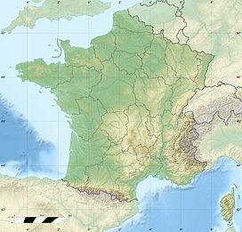
 Chamechaude
 France
Range Alps Coordinates 45°17′16″N 05°47′18″E / 45.28778°N 5.78833°ECoordinates: 45°17′16″N 05°47′18″E / 45.28778°N 5.78833°E Climbing Easiest route From the Col de Porte Chamechaude is the highest summit in the Chartreuse Massif in the Isère department in eastern France. It is the fourth most prominent mountain in metropolitan France.
Ascent
The ascent is a hike, but there are also several climbing routes on the east face.
-
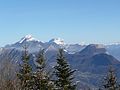
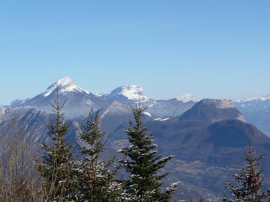
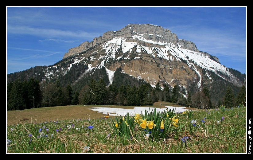
Chamechaude (left)
-
Seen from the Col de Porte
-
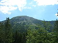
Seen from the summit Charmant Som
-
Seen from Émeindras
Ultra prominent peaks of Europe Scandinavia Galdhøpiggen • Kebnekaise • Jiehkkevárri • Snøhetta • Store Lenangstind • Sarektjåhkkå — On islands: Beerenberg • Hvannadalshnúkur • Newtontoppen • Novaya Zemlya HPWestern Europe Atlantic islands Alps Mont Blanc • Grossglockner • Finsteraarhorn • Wildspitze • Bernina • Hochkönig • Monte Rosa • Hoher Dachstein • Marmolada • Viso • Triglav • Barre des Écrins • Säntis • Ortler • Baldo • Gran Paradiso • Coca • Cima Dodici • Dents du Midi • Chamechaude • Zugspitze • Antelao • Arcalod • Grintovec • Großer Priel • Grigna Settentrionale • Bondone • Presanella • Birnhorn • Col Nudo • Pointe Percée • Montasch • Polinik • Tödi • Birkkarspitze • Wilder Kaiser • Grande Tête de l'Obiou • Cima Tosa • Hochtor • Grimming • Grand Combin • Tournette • Zirbitzkogel • KeschItaly Eastern Europe Carpathians: Gerlachovský štít • Parângu Mare • Moldoveanu • Peleaga — Crimea: Roman-Kosh — Urals: NarodnayaBalkans Mediterranean islands Caucasus Elbrus • Bazardüzü • Kazbek • Tebulosmta • Aragats • Dykh-Tau • Dyultydag • Kapudzhukh • Gora Addala Shukgelmezr • Shani • ShahdaghCategories:- Mountains of the Alps
- Mountains of Isère
- France geography stubs
-


Wikimedia Foundation. 2010.