- Mount Pico
-
Mount Pico Ponta do Pico 
Mount Pico as seen from aboveElevation 2,351 m (7,713 ft) Prominence 2,351 m (7,713 ft) Parent peak None - HP Pico Listing Country high point
UltraLocation 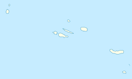
 Mount Pico
 Portugal
  Azores
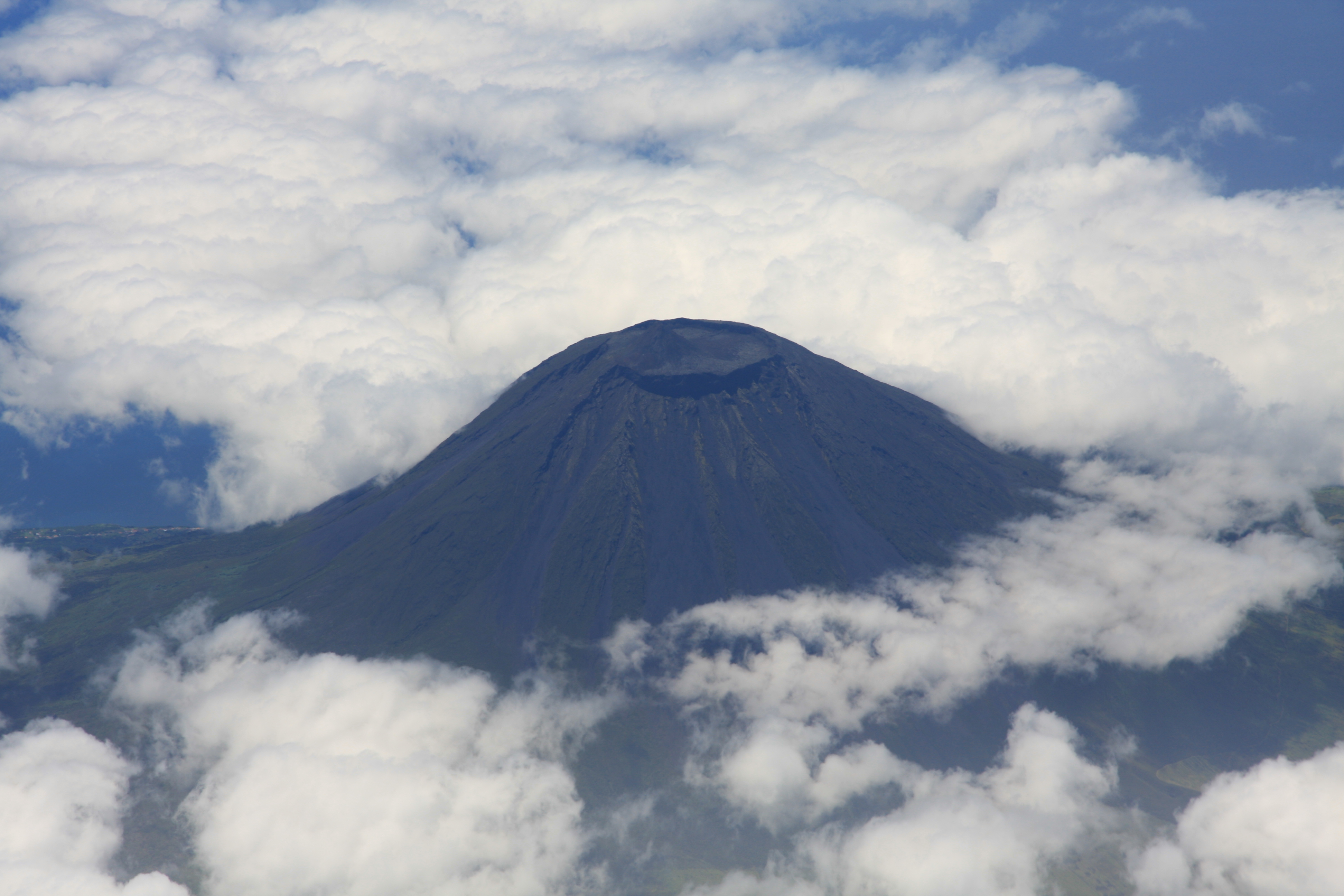
Range Mid-Atlantic Ridge Coordinates 38°28′19″N 28°21′50″W / 38.47194°N 28.36389°WCoordinates: 38°28′19″N 28°21′50″W / 38.47194°N 28.36389°W Geology Type Stratovolcano Age of rock < 230,000 Years Volcanic arc/belt Volcanic Arc Last eruption 1718 Climbing Easiest route Scramble, Class 2; YDS Grade II Mount Pico (Ponta do Pico, in Portuguese) is a stratovolcano and the highest point on Pico Island in the Azores. It reaches an altitude of 2,351 meters (7,713 ft) above sea level, which makes it the highest point in Portugal and also in the Mid-Atlantic Ridge. Pico is more than twice the elevation of any other peak in the Azores.
Pico Alto the round crater about 500 meters (1,600 ft) in diameter and 30 meters deep tops the volcano, with Piquinho (Pico Pequeno) a small volcanic cone rising 70 meters within it to form the true summit. Historical eruptions of Pico have occurred from vents on its flanks rather than the summit crater. In 1562–64, an eruption on the southeast flank produced lava flows which reached the sea. Another flank eruption in 1718 also produced flows which reached the coast. The most recent eruption occurred in December 1720.
Hiking trails are available and the ascent to the summit can be made in around two to four hours from the trailhead for fit persons depending on weather which can be quite treacherous especially in winter months.
References
- Scarth, Alwyn; Tanguy, Jean-Claude (2001). Volcanoes of Europe. Oxford University Press. pp. 132–136. ISBN 0-19-521754-3. http://books.google.pt/books?id=Spd2VYTI3hMC&pg=PA141&lpg=PA141&dq=Pico+das+%C3%89guas&source=bl&ots=pJe_ntCge1&sig=toudGCe1i60WWhPF-qlSxhlwFow&hl=en&ei=wGdITKD4LeOV4gbI0Yz7DA&sa=X&oi=book_result&ct=result&resnum=8&ved=0CEEQ6AEwBw#v=onepage&q&f=false.
- Global Volcanism Program: Pico
External links
Categories:- Mountains of Portugal
- Ridge volcanoes
- Stratovolcanoes
- Pico Island

Wikimedia Foundation. 2010.