- North Vancouver, British Columbia (city)
-
This article is about the City of North Vancouver. For the adjacent District of North Vancouver, see North Vancouver, British Columbia (district municipality). For a discussion of the two municipalities, see North Vancouver, British Columbia.
City of North Vancouver Location of City of North Vancouver within the Metro Vancouver area in British Columbia, Canada
Coordinates: 49°19′N 123°4′W / 49.317°N 123.067°WCoordinates: 49°19′N 123°4′W / 49.317°N 123.067°W Country Canada Province British Columbia Regional District Metro Vancouver Incorporated 1907 Government - Mayor Darrell Mussatto Area - Total 11.95 km2 (4.6 sq mi) Elevation 80 m (262 ft) Population (2006) - Total 45,165 (ranked 102nd) - Density 3,707/km2 (9,601.1/sq mi) Time zone PST (UTC-8) Postal code span V7G, V7H, V7J, V7K, V7L, V7M, V7N, V7P, V7R Area code(s) 604, 778 Website City of North Vancouver official website 
The City of North Vancouver is a waterfront municipality on the north shore of Burrard Inlet, directly across from Vancouver, British Columbia. It is the smallest of the three North Shore municipalities, and the most urbanized as well. Although it has significant industry of its own, including shipping, chemical production, and film production, the City is usually considered to be a suburb of Vancouver.Contents
Geography

The City of North Vancouver is separated from Vancouver by the Burrard Inlet. It is surrounded on three sides by the District of North Vancouver.
The City of North Vancouver is relatively densely populated with a number of residential high-rise buildings in the Central Lonsdale and Lower Lonsdale areas.
The City has much in common with the District Municipality of North Vancouver and West Vancouver. Together these three municipalities are commonly referred to as the North Shore. The differences between the two "North Vans" are most apparent to their residents. Other Lower Mainland residents are seldom aware of the difference between the two and refer to both as "North Vancouver".
History
Moodyville (at the south end of Moody Avenue, now Moodyville Park), is the oldest settlement on Burrard Inlet, predating Vancouver; only New Westminster is the older non-native settlement in the region. Logging came to the virgin forests of Douglas Fir in North Vancouver, as sailing ships called in to load. A water-powered sawmill was set up in the 1860s at Moodyville, by Sewell Moody. Subsequently, post offices, schools and a village sprang up. In time, the municipality of North Vancouver (which encompassed the entire North Shore from Deep Cove to Dundarave) was incorporated. In the 1880s, Arthur Heywood-Lonsdale and a relation James Pemberton Fell, made substantial investments in North Vancouver and in 1882 he financed the Moodyville investments. Several locations in the North Vancouver area are named after Lonsdale and his family.[1] The financial collapses of the 1890s and 1907 aggrieved the young city into bankruptcy. As a result of this, the separate areas of West Vancouver, and District of North Vancouver came into being, with the City holding onto only a small portion of its former area.
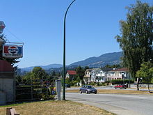 Keith Road looking west, with Hollyburn Mtn in the distance
Part of the reason was the cost of developing raw mountainous terrain. And, originally the ocean foreshore was primarily swamp.The great distances, and large rivers to span, hindered development. Bridges were built, only to have them washed out in a few years from winter floods. The City and District built Keith Road in 1912, which undulated from West Vancouver to Deep Cove amid the slashed sidehills, swamps, and burnt stumps.
Yet the City did gain a strong foothold, with Lonsdale Avenue. Serviced by the North Vancouver Ferries, it proved a popular area. Commuters used the ferries to work in Vancouver. Street cars and early land speculation, spurred interest in the area. Streets, city blocks and houses were slowly built around lower Lonsdale. Wallace Shipyards, and the Pacific Great Eastern Railway provided an industrial base, although, the late arrival of the Second Narrows railway bridge in 1925 controlled development.
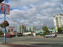
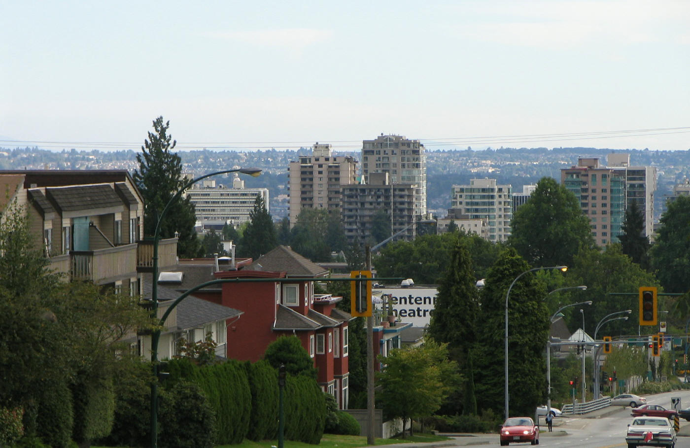
 City of North Vancouver as seen from Upper Lonsdale
Sawmills, logging, and small farms continued in the interwar years. Yet the nearby mountains also proved to be a permanent attraction. Ski areas were set up on Grouse Mountain and Mount Seymour.
The North Vancouver mountains have many drainages: Capilano, MacKay, Mosquito, Lynn, and Seymour Rivers. The Depression again bankrupted the city, while the Second World War turned North Vancouver into the Clydeside of Canada with a large shipbuilding program. Housing the shipyard workers, provided a new building boom, which continued on through the Post war years. By that time, North Vancouver became a popular housing area.
The area around lower Lonsdale Avenue features several open community spaces, including Waterfront Park, Lonsdale Quay shopping area, and the pier at Ship Builders Square.
Sites of interest
Sites of interest in the city include:[2][3][4]
- Centennial Theatre, 2300 Lonsdale Avenue
- First Church of Christ, Scientist, a local heritage site.
- North Vancouver Museum & Archives, 209 West 4th Street
- Presentation House Gallery, 333 Chesterfield Avenue
- St. Edmund's Church, 535 Mahon Avenue, a local heritage site
- Trans Canada Trail Pavilion, Waterfront Park,
- Ship Builders Square, near Lonsdale Quay, a 210 metre pier on the site of the old Wallace Shipyard
Transportation
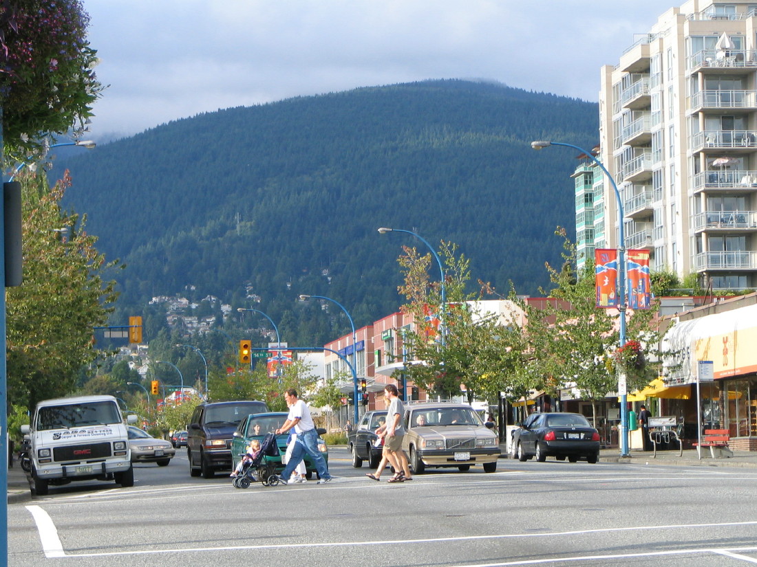
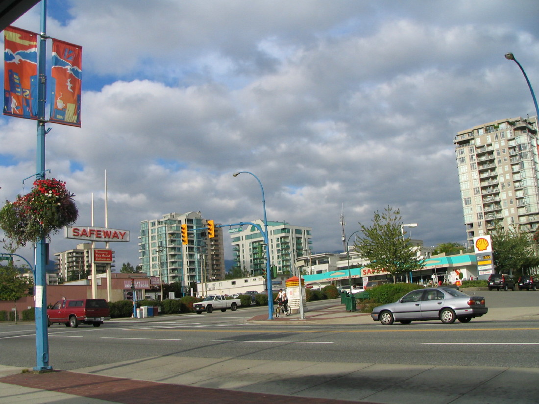
 Lonsdale Avenue at 13th Street is a major intersection of Central Lonsdale
The City of North Vancouver is connected to Vancouver by two highway bridges; the Lions' Gate Bridge and the Ironworkers Memorial Second Narrows Crossing, and also by a passenger only ferry, the SeaBus. This system as well as the bus system in North Vancouver is operated by Coast Mountain Bus Company, an operating company of Translink. The hub of the bus system is Lonsdale Quay, location of the SeaBus terminal.
The main street in the City is Lonsdale Avenue, which begins at Lonsdale Quay and goes north to 29th Street where it continues in the District of North Vancouver, ending at Rockland Road.
Highway 1, part of the Trans-Canada Highway (often referred to as the "Upper Levels Highway") passes through the northern portion of the City. It is a freeway for its entire length within the City of North Vancouver. There are three interchanges on Highway 1 within the City of North Vancouver:
- Lynn Valley Road (Exit 19)
- Lonsdale Avenue (Exit 18)
- Westview Drive (Exit 17)
Education
Public schools are managed by the North Vancouver School District, which operates 8 high schools and 30 elementary schools shared by the City and the District of North Vancouver. There are also several independent private elementary and high schools in the area, including Bodwell High School and Lions Gate Christian Academy.
Post-secondary education is available at Capilano University in the District, as well as at Simon Fraser University and the University of British Columbia in neighbouring communities.
Demographics
According to the 2001 Statistics Canada Census:
- Population: 44,303
- % Change (1996-2001): 6.8
- Dwellings: 21,217
- Area (km².): 11.95
- Density (persons per km².): 3706.2
- Has the highest level of fitness of any city in Canada.
Population estimates according to BC Stats:
1996+ 1997 1998 1999 2000 2001+ 2002 2003 2004 2005 2006 43,268 43,725 44,550 44,938 45,489 46,236 46,977 46,496 46,831 48,037 49,248 Sister cities
Surrounding Municipalities

District of North Vancouver District of North Vancouver 
District of North Vancouver  City of North Vancouver

Burrard Inlet
Vancouver (via SeaBus)References
- ^ Canada North Shore News
- ^ Historic places in North Vancouver
- ^ Attractions in North Vancouver
- ^ Primary historic buildings in North Vancouver
External links
- City of North Vancouver official website
- North Vancouver Museum & Archives
- Historic overview of North Vancouver City as part of an introduction to its Official Community Plan
Neighbourhoods in the City and District of North Vancouver, British Columbia Neighbourhoods Blueridge · Boulevard · Canyon Heights · Capilano · Central Lonsdale · Cleveland Park · Cove Cliff · Deep Cove · Delbrook · Edgemont Village · Forest Hills · Hamilton · Keith Lynn · Lionsview · Lower Lonsdale · Lynn Creek · Lynnmour · Lynn Valley · Maplewood · Norgate · Pemberton · Pemberton Heights · Queensbury · Riverside · Seymour · Strathcona · Upper Lonsdale ·First Nations Municipalities of Metro Vancouver Population over 100,000 Population over 50,000 Population over 10,000 Population under 10,000 Unincorporated areas  Category:Vancouver ·
  Portal:Vancouver ·
  WikiProject:Vancouver
 Subdivisions of British Columbia
Subdivisions Regions · Regional districts · Forest Regions and Forest Districts · School districts · Land DistrictsSettlements Urban centres Cities Abbotsford · Armstrong · Burnaby · Campbell River · Castlegar · Chilliwack · Colwood · Coquitlam · Courtenay · Cranbrook · Dawson Creek · Duncan · Enderby · Fernie · Fort St. John · Grand Forks · Greenwood · Kamloops · Kelowna · Kimberley · Kitimat · Langford · Langley · Merritt · Nanaimo · Nelson · New Westminster · North Vancouver · Parksville · Penticton · Pitt Meadows · Port Alberni · Port Coquitlam · Port Moody · Powell River · Prince George · Prince Rupert · Quesnel · Revelstoke · Richmond · Rossland · Salmon Arm · Surrey · Terrace · Trail · Vancouver · Vernon · Victoria · White Rock · Williams Lake Category:British Columbia · Portal:British Columbia · WikiProject:British ColumbiaCategories:- Populated places on the British Columbia Coast
- North Vancouver (city), British Columbia

Wikimedia Foundation. 2010.