- Chellington
-
Coordinates: 52°11′46″N 0°35′34″W / 52.196184°N 0.592713°W
Chellington 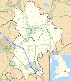
 Chellington
Chellington shown within BedfordshireParish Carlton and Chellington Unitary authority Bedford Ceremonial county Bedfordshire Region East Country England Sovereign state United Kingdom Post town bedford Postcode district MK43 Police Bedfordshire Fire Bedfordshire and Luton Ambulance East of England EU Parliament East of England UK Parliament North East Bedfordshire List of places: UK • England • Bedfordshire Chellington is a hamlet in the English county of Bedfordshire.
Chellington was recorded in the Domesday Book of 1086 as a parish within the Hundred of Willey.[1] In 1934 the separate parishes of Chellington and Carlton merged to become one parish named Carlton with Chellington
References
External links
 Media related to Chellington at Wikimedia CommonsCategories:
- Villages in Bedfordshire
- Bedfordshire geography stubs


Wikimedia Foundation. 2010.