- Duloe, Bedfordshire
-
Coordinates: 52°13′49″N 0°18′29″W / 52.2303°N 0.3080°W
Duloe 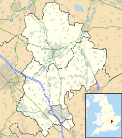
 Duloe
Duloe
Duloe shown within BedfordshireOS grid reference TL157607 Parish Staploe Unitary authority Bedford Ceremonial county Bedfordshire Region East Country England Sovereign state United Kingdom Post town ST NEOTS Postcode district PE19 Dialling code 01480 Police Bedfordshire Fire Bedfordshire and Luton Ambulance East of England EU Parliament East of England UK Parliament North East Bedfordshire List of places: UK • England • Bedfordshire Duloe is a hamlet in the English county of Bedfordshire.
Administratively it is part of the civil parish of Staploe that, in turn, forms part of the borough of Bedford. However the nearest town is St Neots some two miles to the east.
Categories:- Bedfordshire geography stubs
- Villages in Bedfordshire


Wikimedia Foundation. 2010.