- Qonggyai County
-
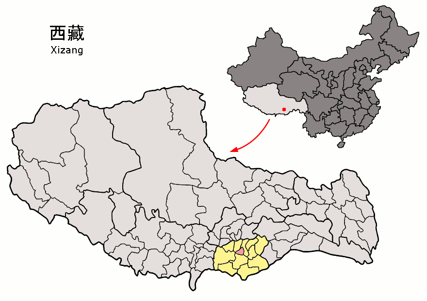
Qonggyai County — County — Tibetan transcription(s) – Tibetan སྣེ་གདོང་རྫོང་ – Wylie transliteration ´phyongs rgyas rdzong – pronunciation in IPA – official transcription (PRC) Chonggyé – THDL Chonggye – other transcriptions Chinese transcription(s) – Traditional 琼结县 – Simplified 琼结县 – Pinyin Qióngjié Xiàn Near the Valley of the Kings (Tibet)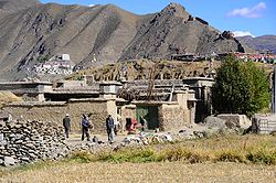 Location of Qonggyai County within Tibet
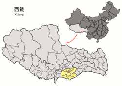 Location in Tibet
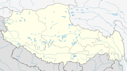
 Qonggyai County
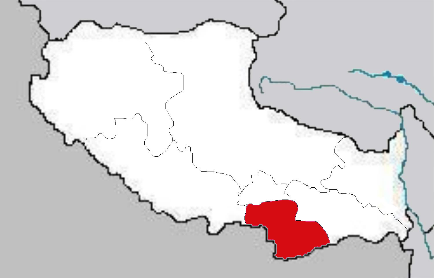
Coordinates: 29°15′30″N 91°51′30″E / 29.25833°N 91.85833°E Country China Province Tibet Prefecture Shannan Prefecture Capital Qonggyai Area – Total 1,030 km2 (397.7 sq mi) Population (1999) – Total 17,031 Time zone China Standard (UTC+8) Qonggyai County or Chongye County, (Tibetan: སྣེ་གདོང་རྫོང་ Wylie: ´phyongs rgyas rdzong; Chinese: 琼结县; Pinyin: Qióngjié Xiàn) is a county of the Shannan Prefecture in the Tibet Autonomous Region.
Contents
History
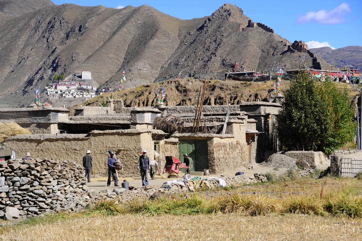
Qonggyai contains the Valley of the Kings, a series of graveyard tumuli, approximately 27 kilometres (17 mi) south of Tsetang, Tibet, near the town of Chongye or Qonggyai on Mure Mountain. The site possesses eight large mounds of earth resembling natural hills that are believed to contain eight to ten buried Tibetan kings.[1]
"According to Tibetan tradition all the kings from Dri-gum onwards are buried at ‘Phyong-rgyas, but as the site now presents itself, there are just ten tumuli identifiable as the tombs of all the kings from Srong-brtsan-sgam-po to Khri-lde-srong-brtsan, including two princes . . . ."[2]
Other sources, however, have indicated that there are actually nine mounds rather than eight or ten.[3] The kings believed to be buried at the site include Songtsän Gampo (the founder of the Tibetan Empire), Nansong Mangsten, Tridu Songtsen, Gyangtsa Laban, Tride Tsugtsen, Trisong Detsen, Muni Tsangpo and Tritsu Detsen.[1][4]
Geography and climate
Qonggyai County is located in the middle of the Brahmaputra River valley and covers an area of 1030 square km, with 2.8 million mu of arable land, an area of 1.3 million mu of grassland, with a forest area of 0.7 million mu.[5] The county had a total population of 20,000 people in 2003.
Qonggyai County is located in southern Tibet and is surrounded by mountains. It has an average elevation of about 3900 meters, with a the maximum altitude of 6450 meters.[5] It is in a temperate semi-arid plateau monsoon climate zone, with an annual frost-free period of about 125,153 days.[5] The annual rainfall is 345 millimeters and natural disasters, mainly droughts, floods, hail and pests are common.[5] Mineral resources include mainly crystal stone, jade, chromium and iron. Antelope, black-necked crane, otter, swan, eagle and river deer are common.[5]
Economy
Qonggyai is dominated by agriculture, and is one of the grain based counties in the Shannan Prefecture.[5] Crops grown are mainly highland barley, winter wheat, spring wheat, peas, radish, potatoes and so on.[5] Livestock include yak, pianniu, cattle, sheep, goats, mainly. A forested area of 150 acres (0.61 km2) contains some apple, pear and peach orchards. Ethnic handicrafts forms most of the industrial sector and products include buckets, kettles, Tibetan cabinets, bowls, bracelets, necklaces, incense, butter lamps, etc.[5]
The capital, Chongye Town (Qonggyai) contains an ancient castle, and covers 0.5 square kilometers, with a population of nearly 500 people.[5] Commercial, financial, telecommunications, hospitals, schools and other public facilities are located in this small political, economic, and cultural center.
References
- ^ a b Tibet:A Fascinating Look at the Roof of the World, Its People and Culture. Passport Books, Shangri-la Press, Chicago, USA. 1986. pp. 143–145.
- ^ Snellgrove and Richardson (1968), pp. 51-52.
- ^ "The Graveyard of Tibetan Kings". Travel China Guide. http://www.travelchinaguide.com/attraction/tibet/shannan/tsetang/kings_tomb.htm. Retrieved September 8, 2009.
- ^ Stein (1972), pp. 201-202.
- ^ a b c d e f g h i "琼结县" (in Chinese). Baidu Baike Encyclopedia. http://baike.baidu.com/view/772888.htm. Retrieved February 26, 2010.

Settlements Sites Changzhug temple · Tradruk Temple · Dakpo Tratsang Monastery · Yungbulakang Palace
Coordinates: 29°15′30″N 91°51′30″E / 29.25833°N 91.85833°E
Categories:- Counties of Tibet
- Shannan Prefecture


Wikimedia Foundation. 2010.