- Qamdo County
-
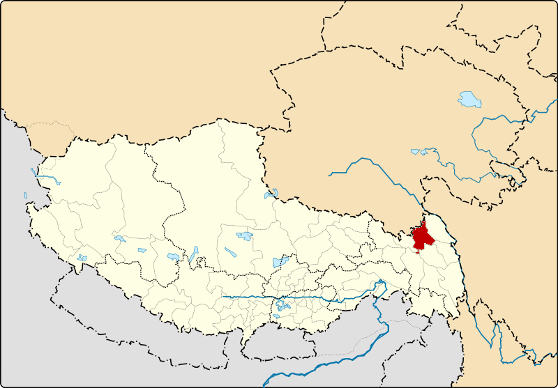
Qamdo County
ཆབ་མདོ་རྫོང་
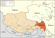
昌都县— County — South of Qamdo main town Location of Qamdo County within Tibet
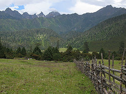
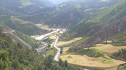
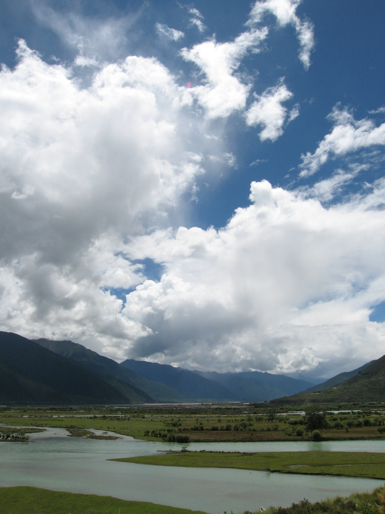
Coordinates: 32°16′34″N 97°15′41″E / 32.27611°N 97.26139°E Country China Province Tibet Prefecture Qamdo Capital Qamdo Time zone China Standard (UTC+8) Qamdo County, also Chamdo County, Changdu County (Tibetan: ཆབ་མདོ་རྫོང་; Wylie: Chab mdo rdzong; simplified Chinese: 昌都县; traditional Chinese: 昌都縣; pinyin: Chāngdū Xiàn) is a county in Tibet Autonomous Region, and the seat of government of Qamdo Prefecture. Qamdo county has an area of 10,700 km² and a population of 78,000, of which 90% are Tibetan. The average temperature is 7.6°C, with average temperatures of -2.3°C in January and 16.3°C in July. The average precipitation is 467 mm per year.
Popular with the (predominantly Chinese) tourists are the Galden Jampaling Monastery in the capital and the salt mines and hot springs at Yangjing.
See also
Towns and villages Baima · Baimai · Banbar · Banggaidoi · Bangru · Bolo · Bumgyê · Cêngdo · Chamoling · Changlung · Chido · Chongsar · Dungro · Gamtog · Garma · Gyari · Gyorxung · Gyanbe · Kargang · Lhorong · Lingza · Mêdogdêng · Nagjog · Ngomdo · Nujiang · Qamdo · Qumdo · Qu'nyido · Sumzom · Tanggar · Xabyai · Zhaxize
Coordinates: 32°16′34″N 97°15′41″E / 32.27611°N 97.26139°E
Categories:- Counties of Tibet
- Qamdo Prefecture
- Qamdo Prefecture geography stubs


Wikimedia Foundation. 2010.