- Qamdo
-
- This article refers to the town also known as Chamdo. For other uses, see Qamdo (disambiguation).
Qamdo
Chamdo
Chengguan— Town — 城关镇  Location in Tibet
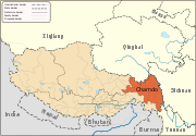
 Qamdo
QamdoCoordinates: 31°08′27″N 97°10′19″E / 31.14083°N 97.17194°ECoordinates: 31°08′27″N 97°10′19″E / 31.14083°N 97.17194°E Country People's Republic of China Region Tibet Prefecture Qamdo County Qamdo Area - Total 195.39 km2 (75.4 sq mi) Elevation 3,256 m (10,682 ft) Time zone China Standard (UTC+8) Qamdo (Tibetan: ཆབ་མདོ་; Wylie: chab-mdo; simplified Chinese: 昌都镇; traditional Chinese: 昌都鎮; pinyin: Chāngdū Zhèn), or Chamdo, officially organised as Chengguan of Qamdo County (simplified Chinese: 城关镇; traditional Chinese: 城關鎮; pinyin: Chéngguān Zhèn, city seat), population in 1999 about 86,280,[1] is a major town in the historical region of Kham in the eastern Tibet Autonomous Region of the People's Republic of China. The capital of Qamdo County and Qamdo Prefecture, it is Tibet's third largest city after Lhasa and Shigatse.[2] It is located about 480 km (as the crow flies) from Lhasa. On the road the distance covers 1,120 km (southern route) or 1,030 km (northern route).[3] It is at an altitude of 3,230 metres (10,600 ft) at the confluence of the rivers Za Qu and Ngom Qu which form the Lancang River, the Mekong.
At the turn of the 20th century it had a population of about 12,000, a quarter of whom were monks.[2]
Contents
Galden Jampaling Monastery
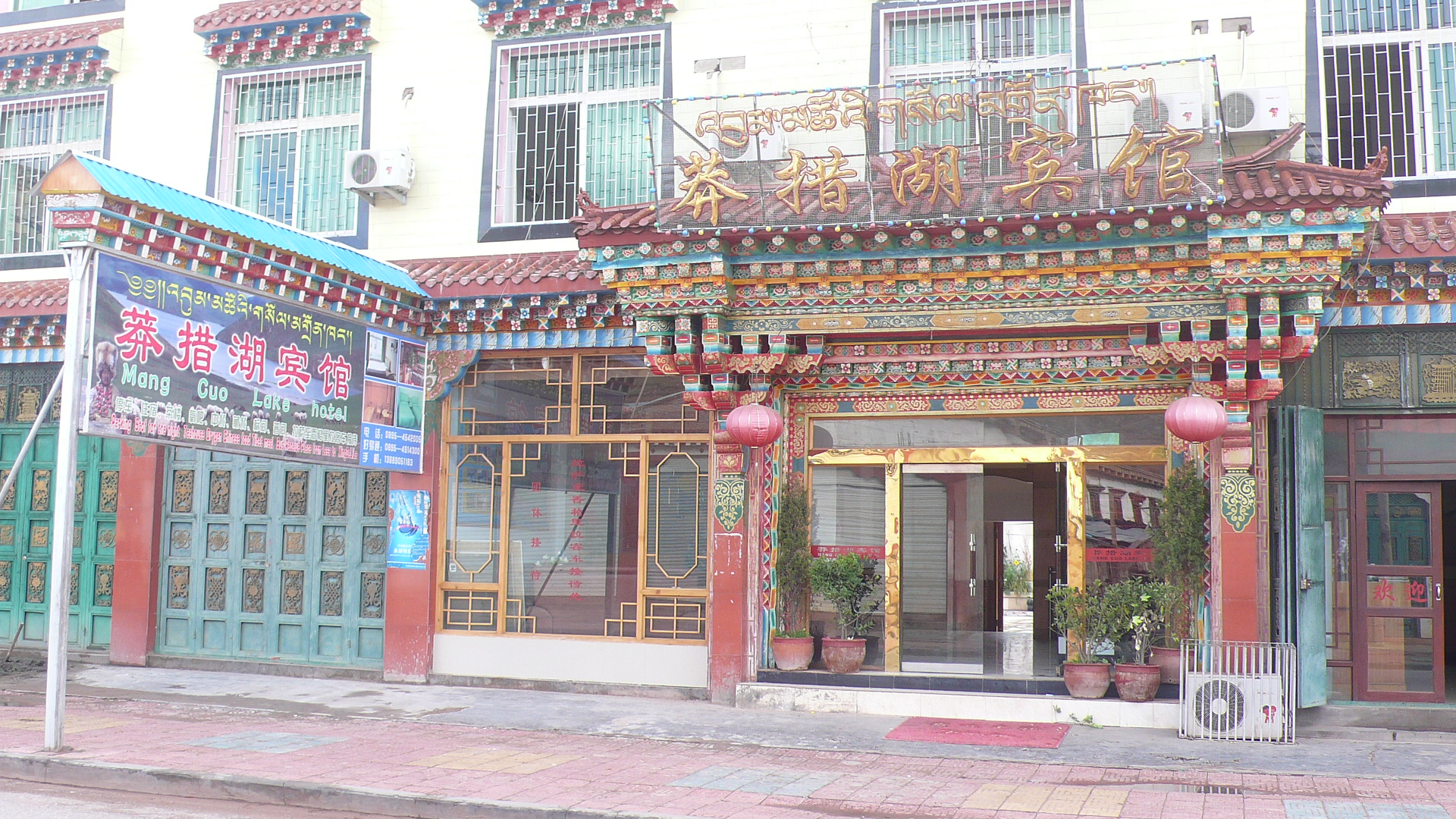
 Mang Cuo Lake Hotel in Qamdo
Qamdo was visited by Tsongkhapa in 1373 who suggested a monastery be built there. Galden Jampaling Monastery was constructed between 1436 and 1444 by a disciple of Tsongkhapa, Jansem Sherab Zangpo.[4] It is also known as the Changbalin or Qiangbalin Si Monastery. At its height it contained five main temples and housed some 2,500 monks.[5] It was destroyed in 1912 but the main hall (which was used as a prison) and two other buildings survived, and it was rebuilt in 1917 after the Tibetan army retook Qamdo. It now houses about 800 monks.[6][7]
Invasion of Qamdo in 1950
The invasion of Qamdo by the 40,000-man army of the People's Republic of China on October 19, 1950, served as an important precursor to the eventual signing of the Seventeen Point Agreement between the Central People's Government in Beijing and the government of the Dalai Lama in the following year.[8] Qamdo's governor at the time of the occupation was Ngapoi Ngawang Jigme, who later became an official in the government of the People's Republic of China. The previous governor of Qamdo was Lhalu Tsewang Dorje.
Climate
Qamdo experiences a climate that is a transition between a humid continental and subtropical highland climate (Köppen Dwb and Cwb), with warm, wet summers and very dry, frosty winters. Monthly averages range from −2.3 °C (27.9 °F) in January to 16.0 °C (60.8 °F) in July, with an annual mean of 7.57 °C (45.6 °F). Due to the high elevation differences between daytime and nighttime temperatures are usually large, especially during the dry winter months. The annual average diurnal temperature variation is 16.0 °C (28.8 °F).
Climate data for Qamdo Month Jan Feb Mar Apr May Jun Jul Aug Sep Oct Nov Dec Year Average high °C (°F) 8.0
(46.4)9.8
(49.6)13.0
(55.4)16.4
(61.5)20.8
(69.4)23.5
(74.3)23.9
(75.0)23.4
(74.1)21.2
(70.2)17.4
(63.3)12.5
(54.5)9.0
(48.2)16.58
(61.84)Average low °C (°F) −10.4
(13.3)−7.2
(19.0)−2.8
(27.0)1.0
(33.8)5.1
(41.2)8.9
(48.0)10.3
(50.5)9.5
(49.1)7.0
(44.6)1.5
(34.7)−5.5
(22.1)−9.9
(14.2)0.63
(33.13)Precipitation mm (inches) 1.2
(0.047)4.0
(0.157)9.6
(0.378)23.0
(0.906)39.2
(1.543)85.2
(3.354)100.2
(3.945)96.8
(3.811)76.1
(2.996)31.3
(1.232)5.5
(0.217)2.4
(0.094)474.5
(18.681)Avg. precipitation days (≥ 0.1 mm) 2.2 3.1 5.7 10.9 13.2 17.9 19.7 18.1 17.8 9.6 5.5 2.4 126.1 Sunshine hours 195.3 175.2 189.1 195.0 220.1 201.0 198.4 201.5 192.0 204.6 201.0 204.6 2,377.8 Source no. 1: China Weather (1971−2000) [9] Source no. 2: Hong Kong Observatory (sun only, 1961−1990) [10] Transportation
Notable people
- Qiangba Puncog, politician
Footnotes
- ^ China County & City Population 1999 FAQ
- ^ a b Buckley and Straus 1986, p. 215.
- ^ Distances calculated acc. to "China Road Atlas, Zhongguo Gaosugonglu Ji Chengxiang Gongluwang Diutuji", Renmin Jiaotong Chunbanshe, Beijing 2006, p. 338. ISBN 7-114-05339-8
- ^ Gruschke 2004, p. 36f.
- ^ According to tradition there were 3,000 monks with Jangsem Sherab Zangpo when establishing the monastery, and more than 2,000 at the beginning of the 19th century (cp. Gruschke 2004, p. 37).
- ^ Buckley and Straus 1986, p. 216.
- ^ Mayhew and Kohn 2005, p. 241.
- ^ Mayhew and Kohn 2005, p. 262.
- ^ "昌都城市介绍" (in Simplified Chinese). Weather.com.cn. http://www.weather.com.cn/cityintro/101140501.shtml. Retrieved 2011-06-01.
- ^ "Climatological Normals of Changdu". Hong Kong SAR Government. http://www.hko.gov.hk/wxinfo/climat/world/eng/asia/china/changdu_e.htm. Retrieved 2011−01−05.
Further reading
- Buckley, Michael and Straus, Robert (1986): Tibet: a travel survival kit, Lonely Planet Publications. South Yarra, Victoria, Australia. ISBN 0-908086-88-1.
- Gruschke, Andreas (2004): Chamdo town in: The Cultural Monuments of Tibet’s Outer Provinces: Kham - vol. 1. The TAR part of Kham, White Lotus Press, Bangkok 2004, pp. 36–45. ISBN 974-4800-49-6
- Mayhew, Bradley and Kohn, Michael. (2005). Tibet. 6th Edition. Lonely Planet. ISBN 1-74059-523-8
See also
Towns and villages Baima · Baimai · Banbar · Banggaidoi · Bangru · Bolo · Bumgyê · Cêngdo · Chamoling · Changlung · Chido · Chongsar · Dungro · Gamtog · Garma · Gyari · Gyorxung · Gyanbe · Kargang · Lhorong · Lingza · Mêdogdêng · Nagjog · Ngomdo · Nujiang · Qamdo · Qumdo · Qu'nyido · Sumzom · Tanggar · Xabyai · Zhaxize
Categories:- Populated places in the Qamdo Prefecture


Wikimedia Foundation. 2010.