- Powder River (Montana)
-
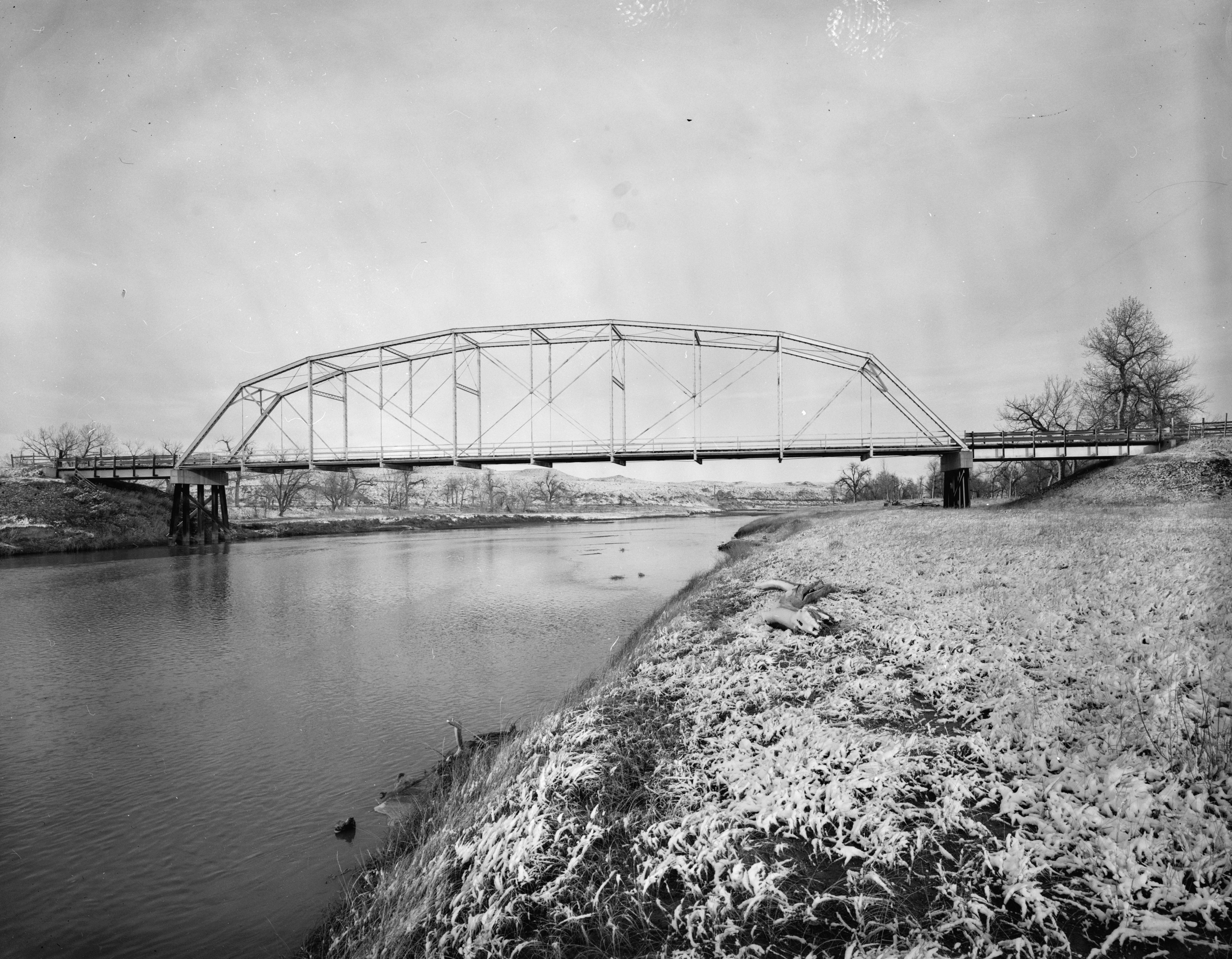
Powder River River  The EDZ Irigary Bridge over the Powder River
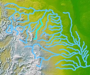
Country United States States Wyoming, Montana Tributaries - left Crazy Woman Creek, Clear Creek, Mizpah Creek - right Wild Horse Creek, Little Powder River Source Confluence of Middle Fork and North Fork - location Near Kaycee, Wyoming - elevation 4,564 ft (1,391 m) - coordinates 43°40′30″N 106°30′45″W / 43.675°N 106.5125°W [1] Mouth Yellowstone River - location Near Terry, Montana - elevation 2,241 ft (683 m) - coordinates 46°44′00″N 105°26′02″W / 46.7333333°N 105.43389°W [1] Length 375 mi (604 km) Basin 21,875 sq mi (56,656 km2) Discharge for Locate, MT - average 558 cu ft/s (16 m3/s) - max 31,000 cu ft/s (878 m3/s) - min 0 cu ft/s (0 m3/s)  Map of the Powder River basin
Powder River is a tributary of the Yellowstone River, approximately 375 miles (604 km) long in the southeastern Montana and northeastern Wyoming in the United States. It drains an area historically known as the Powder River Country on the high plains east of the Bighorn Mountains.
It rises in three forks in eastern Wyoming. The North and Middle forks rise along the eastern slope of the Bighorn Mountains. The South Fork rises on the north slope of Garfield Peak in the Granite Mountains west of Casper. The three forks meet on the foothills east of the Bighorns near the town of Kaycee. The combined stream flows northward, east of the Bighorns, and into Montana. It is joined by the Little Powder near the town of Broadus, and joins the Yellowstone approximately 50 miles (80 km) downriver from Miles City, Montana. The Powder River was so named because the sand along a portion of its banks resembled gunpowder.[2]
The Powder River Basin near the Montana/Wyoming border is a major source of low-sulfur coal mined in the United States.
Variant names
Powder River has also been known as: Ce-than-i-ci-a, Chakadee Wakpa, Red Stone River, Redstone River, Wa ha Sah, Wah-har-sop, Wahasah, War-har-sa, and War-rak-sash.[1]
See also
- List of rivers of Montana
- Montana Stream Access Law
- List of Wyoming rivers
Notes
- ^ a b c "Powder River". Geographic Names Information System, U.S. Geological Survey. http://geonames.usgs.gov/pls/gnispublic/f?p=gnispq:3:::NO::P3_FID:789156.
- ^ Urbanek, Mae (1988). Wyoming Place Names. Missoula, MT: Mountain Press Publishing Company. ISBN 0-87842-204-8.
 State of Montana
Topics - Index
- History
- Governors
- People
- Geography
- State Government
- Delegations
- Visitor Attractions
Society - Crime
- Demographics
- Economy
- Education
- Politics
Regions - The Flathead
- Glacier National Park
- Regional designations of Montana
- Western Montana
- Yellowstone
Largest cities Counties - Beaverhead
- Big Horn
- Blaine
- Broadwater
- Carbon
- Carter
- Cascade
- Chouteau
- Custer
- Daniels
- Dawson
- Deer Lodge
- Fallon
- Fergus
- Flathead
- Gallatin
- Garfield
- Glacier
- Golden Valley
- Granite
- Hill
- Jefferson
- Judith Basin
- Lake
- Lewis and Clark
- Liberty
- Lincoln
- Madison
- McCone
- Meagher
- Mineral
- Missoula
- Musselshell
- Park
- Petroleum
- Phillips
- Pondera
- Powder River
- Powell
- Prairie
- Ravalli
- Richland
- Roosevelt
- Rosebud
- Sanders
- Sheridan
- Silver Bow
- Stillwater
- Sweet Grass
- Teton
- Toole
- Treasure
- Valley
- Wheatland
- Wibaux
- Yellowstone
 State of Wyoming
Topics - Governors
- Delegations
- Geography
- Government
- History
- People
- Visitor Attractions
- State Symbols
- Radio Stations
Society - Crime
- Demographics
- Economy
- Education
- Politics
Regions Cities Counties Categories:- Rivers of Montana
- Rivers of Wyoming
- Landforms of Prairie County, Montana
- Landforms of Custer County, Montana
- Tributaries of the Yellowstone River
- Geography of Johnson County, Wyoming
- Montana geography stubs
Wikimedia Foundation. 2010.