- Miranda, New South Wales
-
Miranda
Sydney, New South Wales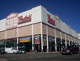
Westfield shopping centre, MirandaPopulation: 12,903 (2006 Census) Postcode: 2228 Location: 24 km (15 mi) south of Sydney CBD LGA: Sutherland Shire State District: Miranda Federal Division: Cook Suburbs around Miranda: Sylvania Sylvania Sylvania Waters Gymea Miranda Caringbah Gymea Bay Yowie Bay Caringbah Miranda is a suburb in southern Sydney, in the state of New South Wales, Australia. Miranda is located 24 kilometres south of the Sydney central business district, in the Sutherland Shire.
Miranda has a mixture of low, medium and high density residential and is known as a commercial centre for the southern suburbs. Miranda's Westfield shopping centre attracts many shoppers from the Sutherland Shire, the St George area and as far away as Wollongong.
Contents
History
Thomas Holt (1811–88) owned the land that stretched from Sutherland to Cronulla. James Murphy, the manager of the Holt estate named the area after Miranda, a character in the William Shakespeare play The Tempest. In a 1921 letter, James Murphy said "the name Miranda was given to the locality by me as manager of the Holt Sutherland Company which I formed in 1881. I thought it a soft, euphonious, musical and appropriate name for a beautiful place." It is believed that the character in the play was named after Miranda de Ebro, a town in Spain.[1]
Early Australian explorer Gregory Blaxland was promised a significant parcel of land in the area as a reward for discovering a passage through the Blue Mountains. He had not selected his parcel by 1816, when he chose to sell that promise to John Connell for £250. However, in 1831 he also selected a parcel of land and claimed it under the original promise of reward, at which Connell stepped forward to claim the land. The matter was taken to court, where Connell was recognised as the owner.
In the 1860s the parcel was sold to Holt, who planned a sheep and cattle farm. The plan failed but the fertile ground was leased by market gardeners instead.
By the 1920s, steam trams operated between Cronulla and Sutherland, via Miranda. The trip from Miranda to Sutherland took fifteen minutes and cost three pence. In 1923 there were five shops in Miranda, including a post office and butcher, at the intersection of the main road from Sutherland and Port Hacking Road. Settlements of returned soldiers from World War I were well established in Miranda at this time and the area was considered to be one of the best fruit-growing and poultry farming areas.[2]
Commercial area
 The Kingsway
Miranda is noted for the Westfield shopping centre (mall), adjacent to the Miranda railway station. The shopping centre runs parallel to The Kingsway, and is built on three blocks, crossing over Kiora Road and Wandella Road. This shopping centre was once notable for being the largest shopping centre in the Southern Hemisphere. Originally known as ‘Miranda Fair’, the last extension and renovation was completed in 1994, providing 107,000 square metres of retail space. Westfield Miranda was soon eclipsed in size by Westfield Parramatta's extension. Miranda Fair is currently the 8th largest in Australia and the 4th largest in Sydney.
Miranda also has a shopping strip, running along The Kingsway and Kiora Road. Numerous commercial developments are also located on these roads and surrounding streets. A smaller shopping centre containing a supermarket and various grocery shops is located nearby in Wandella Road.
Transport
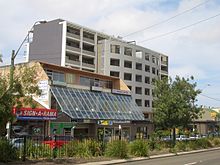
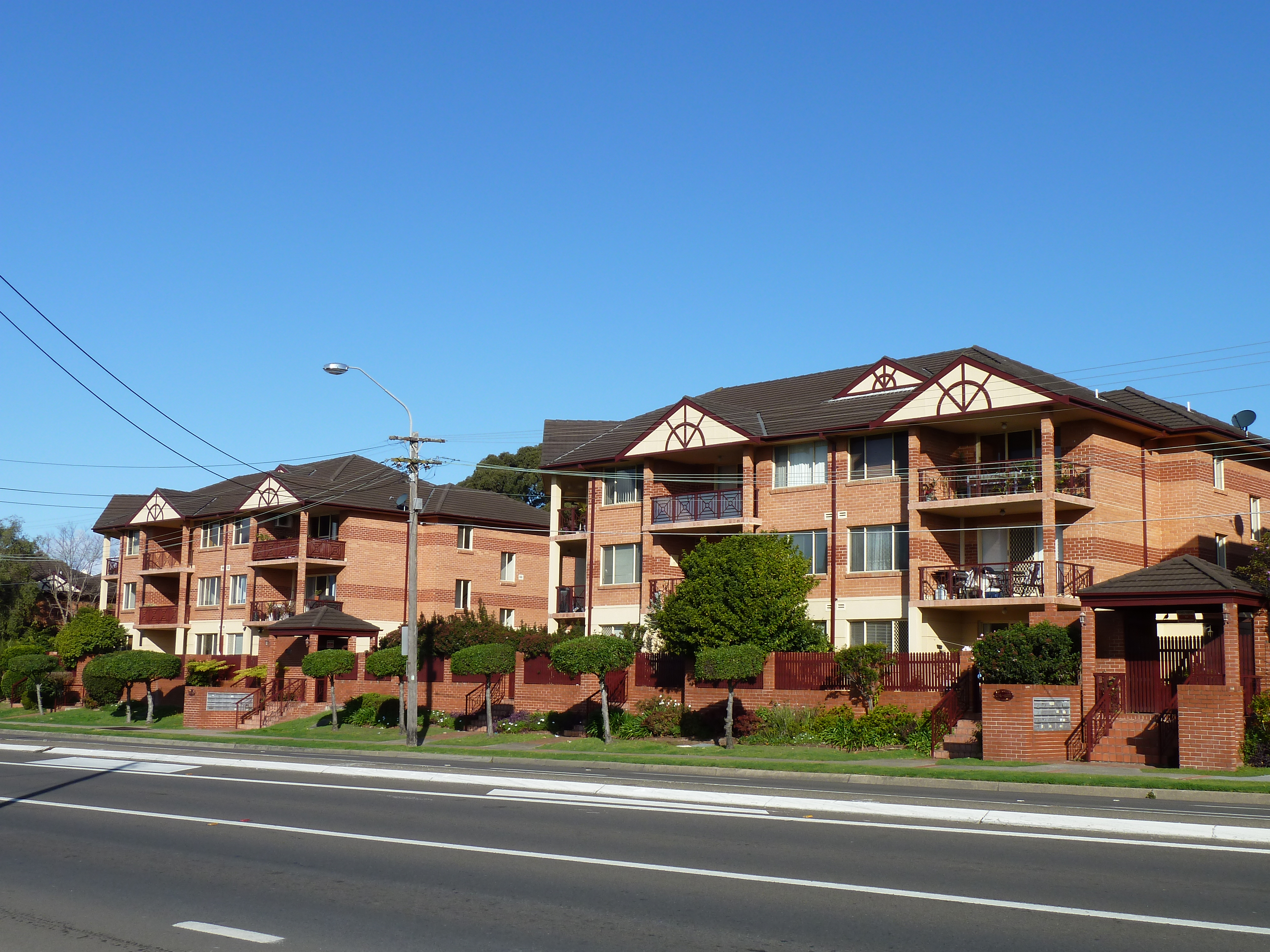
 Apartments, Kingsway
- The Kingsway, Port Hacking Road, The Boulevarde and Kiora Road are the main roads through Miranda. Until 2002 a Miranda landmark was called "the number one black spot in the State for minor accidents,"[3] the five-ways roundabout which intersected The Boulevard, Kiora Road and Port Hacking Road. An A$8m project was completed from 25 February 2002 - 20 November 2002 to remove the roundabout and implement a series of traffic lights at the intersection. Collisions at the intersection fell from 222 in 2002 to 13 in 2003.[4]
- Miranda railway station is on the Cronulla branch of the Illawarra line on the CityRail network. The railway station gives quick access to Cronulla Beach by train.
- Sydney Buses, Veolia and Caringbah Bus Service provide bus service to Miranda.
Population
According to the 2006 Australian Bureau of Statistics Census of Population, there were 12,903 people usually resident in Miranda. 22.9% stated they were born overseas with the top countries of birth being United Kingdom 4.4%, New Zealand 3.0% and China 1.4%. English was stated as the only language spoken at home by 77.8% of residents and the most common other languages spoken were Greek 2.2%, Italian 2.0% and Cantonese 1.7%. The most common responses for religious affiliation were Catholic 30.5%, Anglican 24.6% and Orthodox 4.3%. [5]
Gallery
-
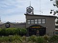
Miranda Hotel
-
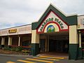
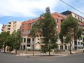
Parkside Plaza
-
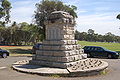
Miranda War Memorial, Seymour Shaw Park, Miranda
-
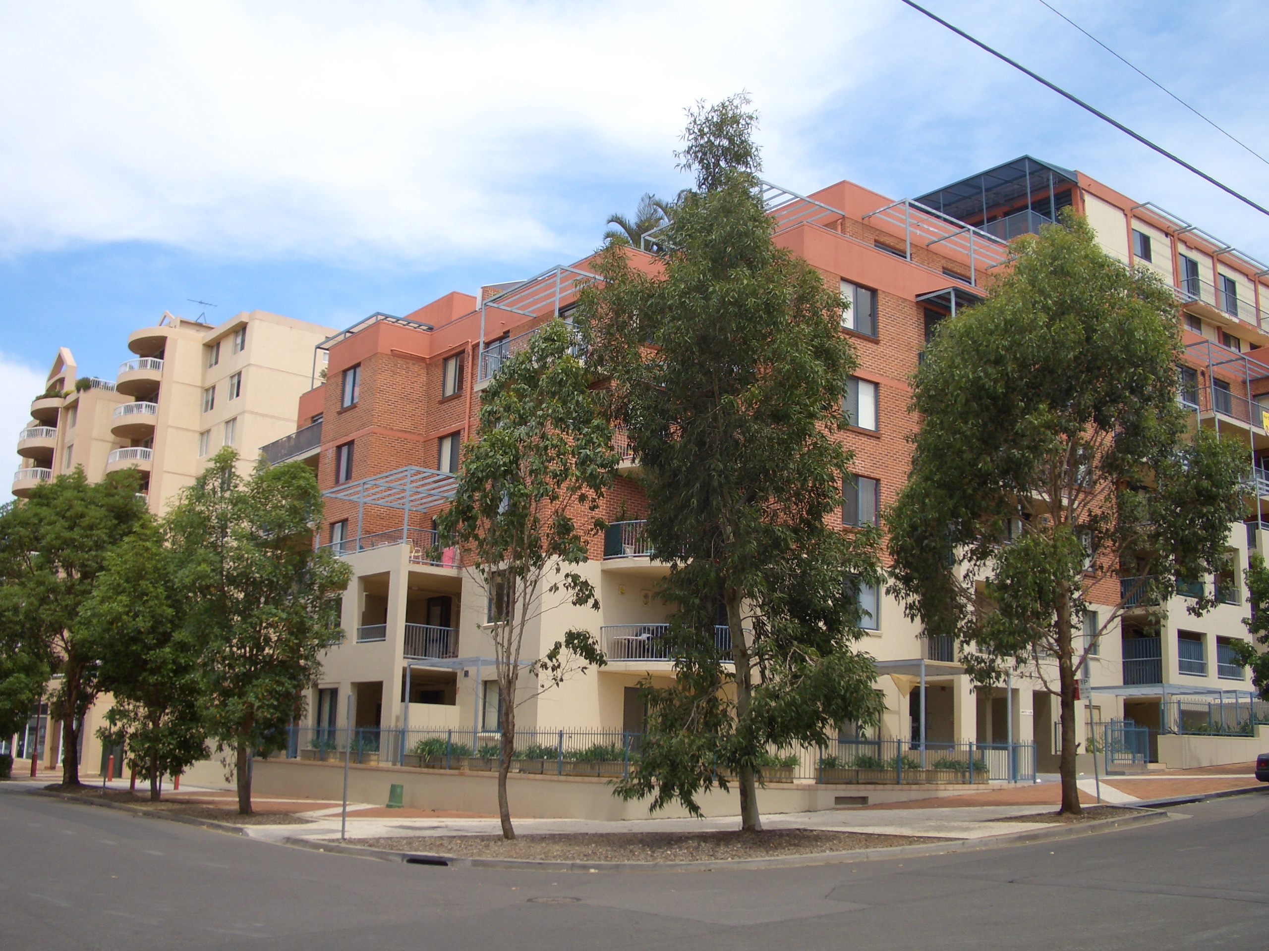
Central Road, Miranda
References
- ^ http://www.sutherland.nsw.gov.au/ssc/rwpattach.nsf/viewasattachmentPersonal/shire_placenames_20041008.pdf/$file/shire_placenames_20041008.pdf History of Sutherland Shire Placenames
- ^ The Book of Sydney Suburbs, Compiled by Frances Pollon, Angus & Robertson Publishers, 1990, Published in Australia ISBN 0-207-14495-8, p. 175
- ^ http://www.parliament.nsw.gov.au/prod/PARLMENT/hansArt.nsf/V3Key/LA20020227003 Governor's Speech: Address-In-Reply - 27 February 2002 - NSW Parliament
- ^ http://www.rta.nsw.gov.au/doingbusinesswithus/downloads/ops_newsletter09_low.pdf
- ^ http://id.com.au/dosydney/default.aspx?pg=1&gid=4120
Coordinates: 34°02′08″S 151°06′10″E / 34.03562°S 151.10276°E
Suburbs and localities within the Sutherland Shire · Southern Sydney · Sydney Suburbs Alfords Point · Bangor · Barden Ridge · Bundeena · Bonnet Bay · Burraneer · Caringbah · Caringbah South · Como · Cronulla · Dolans Bay · Engadine · Grays Point · Gymea · Gymea Bay · Heathcote · Illawong · Jannali · Kangaroo Point · Kareela · Kirrawee · Kurnell · Lilli Pilli · Loftus · Lucas Heights · Maianbar · Menai · Miranda · Oyster Bay · Port Hacking · Sandy Point · Sutherland · Sylvania · Sylvania Waters · Taren Point · Waterfall · Woolooware · Woronora · Woronora Heights · Yarrawarrah · Yowie BayLocalities Categories:- Suburbs of Sydney


Wikimedia Foundation. 2010.