- Yarrawarrah, New South Wales
Infobox Australian Place | type = suburb
name = Yarrawarrah
city = Sydney
state = NSW

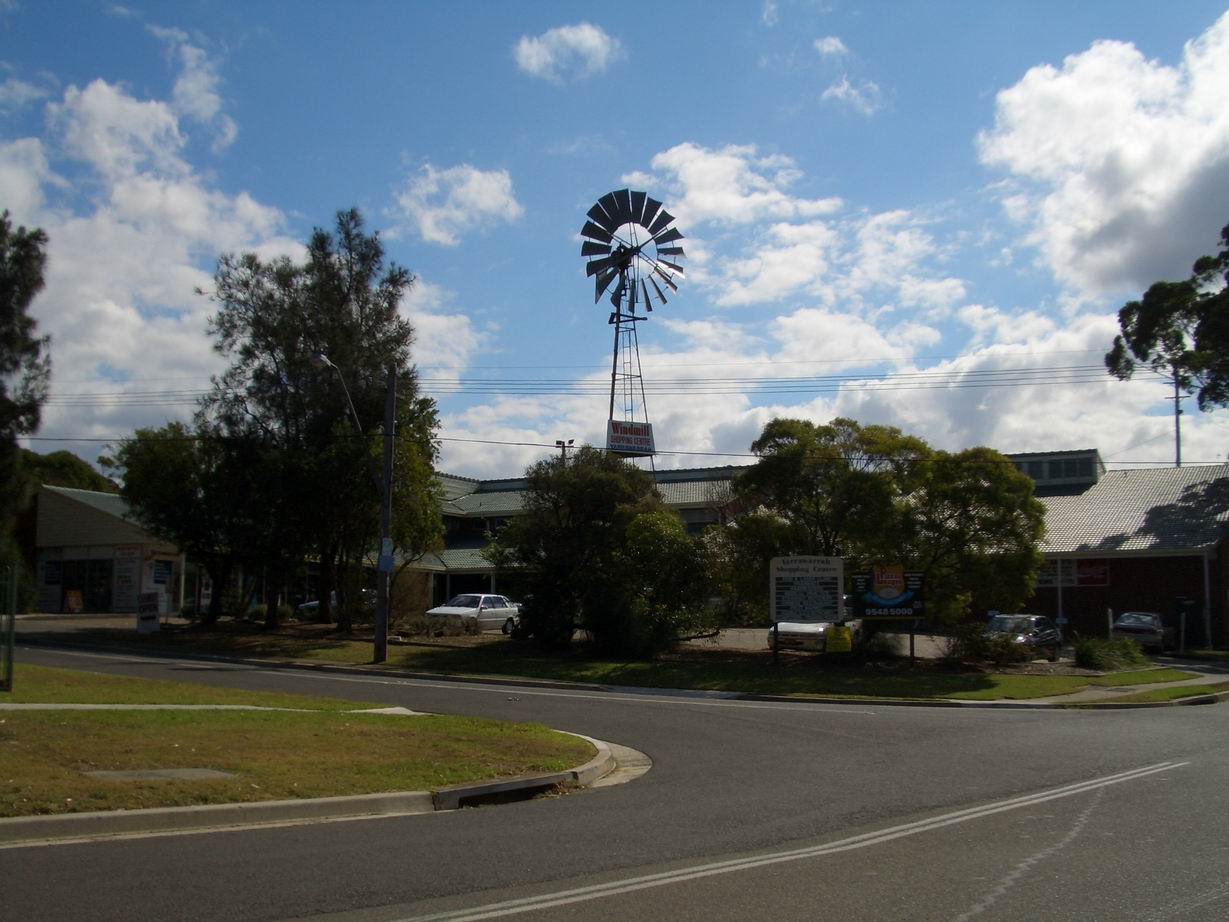
caption = Yarrawarrah Shopping Village, Old Bush Road
lga =Sutherland Shire
postcode = 2233
pop =
area =
propval =
est = 1971
stategov = Heathcote
fedgov = Hughes
near-nw = North Engadine | near-n = Loftus
near-ne = Loftus
near-w = Engadine
near-e =
near-sw = Engadine
near-s =
near-se = "The Royal National Park "
dist1 = 32
dir1 = south
location1=Sydney CBD Yarrawarrah is a
suburb in southernSydney , in the state ofNew South Wales ,Australia . Yarrawarrah is located 32 kilometres south of theSydney central business district , in the local government area of theSutherland Shire . The postcode is 2233, which it shares with neighbouring Engadine.Yarrawarrah borders the
Royal National Park and contains many pockets of bushland. It is a hilly suburb stretching to the valley of Engadine. Yarrawarrah contains many streets named after places in Western Australia, including Wittenoom Place, Roebourne Street, Carnarvon Street.Yarrawarrah contains a small shopping village with a Windmill, one of its greatest landmarks, which has been a part of Yarrawarrah’s heritage for some time.Yarrawarrah features its own primary school - Yarrawarrah Public School, located on Old Bush Road.
History
Yarrawarrah is an Aboriginal word meaning "mountain ash". The suburb was officially recognised by the Geographical Names Board in 1971. [http://www.sutherland.nsw.gov.au/ssc/rwpattach.nsf/viewasattachmentPersonal/shire_placenames_20041008.pdf/$file/shire_placenames_20041008.pdf History of Sutherland Shire Placenames]
References
External links
Wikimedia Foundation. 2010.
