- Engadine, New South Wales
-
Engadine
Sydney, New South Wales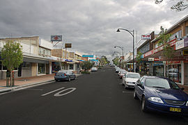
Shops on Old Princess HwyPopulation: 17,303 (2006 census) Postcode: 2233 Coordinates: 34°3′56.6″S 151°0′45.59″E / 34.065722°S 151.0126639°ECoordinates: 34°3′56.6″S 151°0′45.59″E / 34.065722°S 151.0126639°E Time zone: • Summer (DST)
AEST (UTC+10) AEDT (UTC+11)
Location: 33 km (21 mi) south of Sydney CBD LGA: Sutherland Shire State District: Heathcote Federal Division: Hughes Suburbs around Engadine: Woronora Heights Woronora Loftus Lucas Heights Engadine Yarrawarrah Holsworthy Heathcote The Royal National Park Engadine is a suburb in southern Sydney, in the state of New South Wales, Australia. Engadine is located 33 kilometres (21 mi) south of the Sydney central business district, in the local government area of the Sutherland Shire. Engadine incorporates the locality of North Engadine.
Contents
History
The area was reserved for a national park in 1879, but in 1890 Charles McAlister was able to purchase land here which became known as McAlister’s Estate. After an overseas trip, the family renamed their estate ‘Engadine’ after the Engadin Valley in Switzerland. The wildflowers in the valley here and surrounding national parks were reminiscent of the valley and hills in Engadin.
Charles McAlister subdivided his land sometime after 1900. He continued to live in Engadine but later moved to Cronulla, where he died in 1915. Every year in November the Lions Club of Engadine runs the McAllister Day Annual Fete at Cooper Street Reserve to honour the family that originally settled in the area.
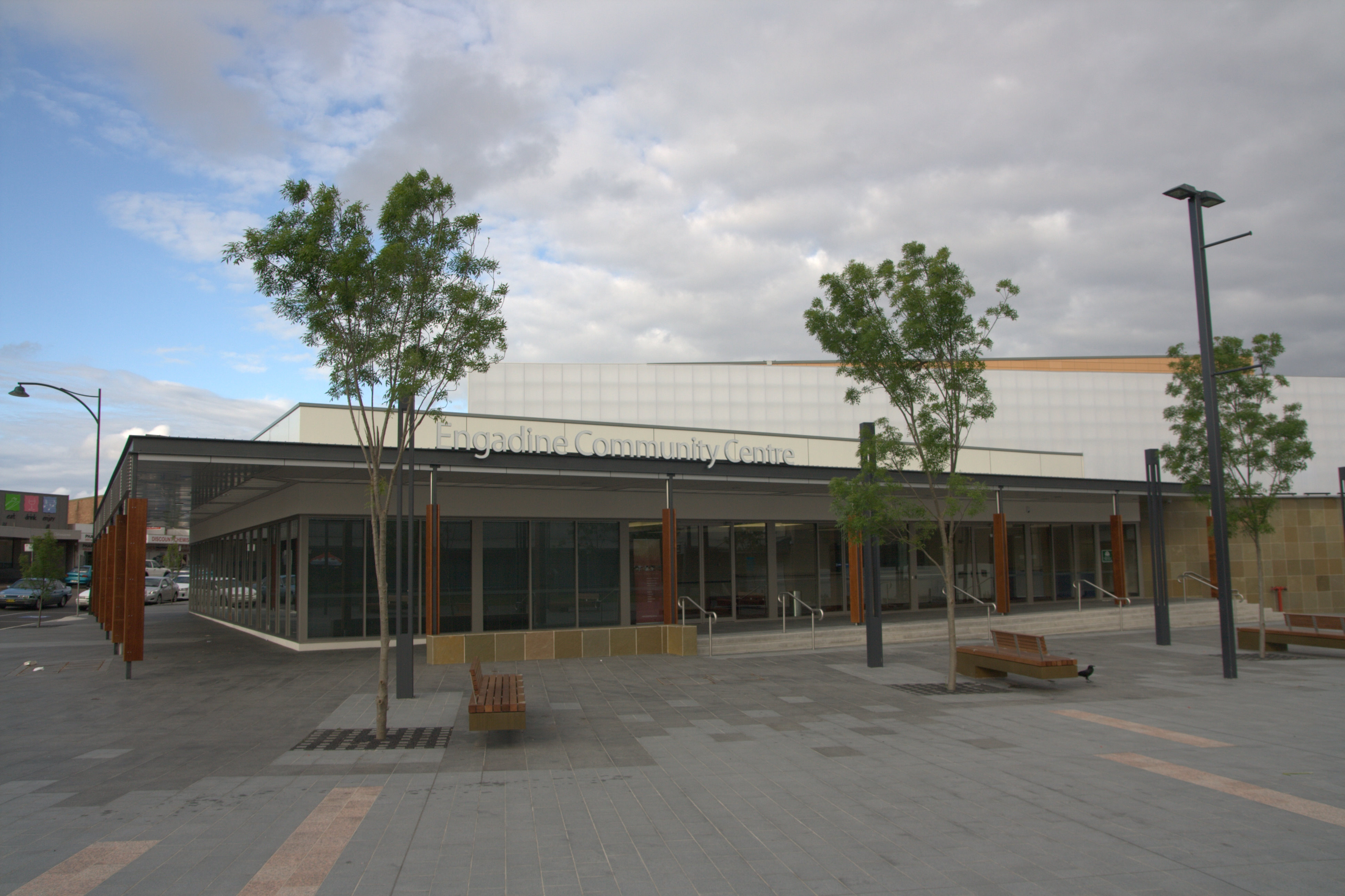
 Engadine Community Centre (October 2010)
Originally settled for grazing land, Engadine soon became a destination for camping and day-trips from the inner-Sydney suburbs. It remained isolated until 1920 when the railway station was built (with some funds donated by the local population). Many ex-soldiers settled here after World War I and several streets here recall this war and others as well, such as Anzac, Tobruk, Amiens, Bullecourt, Villers Brett, Nelson.
Boys Town, in the western part of the suburb was modelled on an American Boys Town institution. The institution helps boys who have not been able to conform to the rules of society, irrespective of their religious beliefs. It was founded in 1939 by Father T.V. Dunlea who was principal from 1939 to 1951.
The post office was opened on the 1st January 1927 and the school opened in September 1932. In the 1960s, the district became more established as a residential area and Crown Land was released for private purchase. The remaining land-parcels were developed in the 1990s, in North Engadine and Woronora Heights.[1]
Landmarks
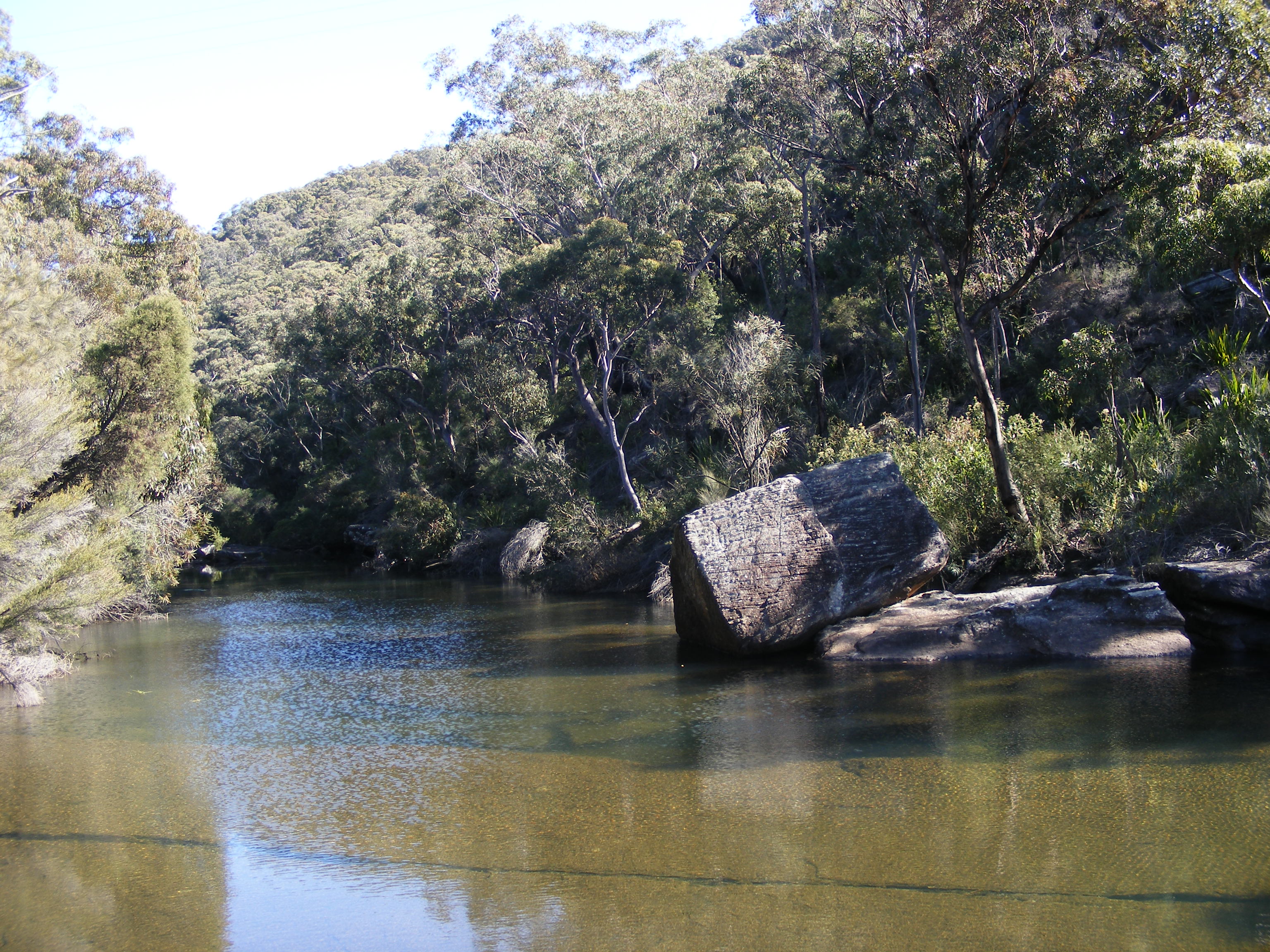
 Heathcote National Park.
Engadine is bounded by The Royal National Park to the east, and Heathcote National Park to the west. Visitors to the suburb can view across the Sydney Basin from its southern edge across to the Sydney CBD. The area also features rolling sandstone slopes and cliffs in places, with an abundance of native trees throughout. Natural landmarks include 'the Needles' and 'the Blue Lagoon' along the Woronora River, and the Engadine Wetlands to the east of the railway station.
Commercial area
Engadine is mostly residential with some commercial and light industrial areas. The commercial area is located close to Engadine railway station and the Princes Highway. A shopping centre called Engadine Central includes supermarkets, grocery and specialty shops. There are plans to expand the shopping centre to include a modern cinema complex and major retailers.
Transport
Engadine railway station is on the Illawarra line of the CityRail network. It is located close to the Princes Highway. Bus Routes 991, 992, 993 and 996 are served by Veolia NSW.
Schools
- Engadine High School
- Engadine Public School
- Engadine West Public School
- Marton Public School
- St John Bosco College
- St John Bosco Primary School
Churches
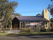 Engadine Anglican Church
- Community Church Engadine
- Engadine Church of Christ
- Engadine Congregational Church
- Engadine Jehovah's Witnesses
- Engadine Uniting Church
- Exclusive Brethren
- Heathcote-Engadine Baptist Church
- Salvation Army
- Southern Cross Baptist Church
- St Andrews Presbyterian Church
- St Georges Anglican Church
- St John Bosco Catholic Church
Engadine Kindy Castle
Parks and recreation
Public facilities include public parks, a skate park and gardens.
- Engadine Leisure Centre is a heated outdoor aquatic centre
- Anzac Oval is used for rugby league by the Engadine Dragons and also for Cricket by the Engadine Dragons CC and Soccer by the Engadine Eagles.
- Preston Park is used for soccer by the Engadine Crusaders and cricket by the Engadine Dragons CC.
- Engadine Lawn Bowls Club
- Engadine Returned Services Club (RSL)
- Old Bush Road is used for rugby union by the Engadine Lions established in 1994, now featuring teams in the Illawarra and Sydney competitions. [2]. Old Bush Rd is also used for touch footy in the Summer off-Season.
Services
- Engadine Rural Fire Brigade [3] protects the bush interface and valleys surrounding the Engadine area.
- Engadine Police Station
- Engadine Ambulance Station
Notable residents
- Les Bursill (OAM) Order of Australia Medal
References
- ^ The Book of Sydney Suburbs, Compiled by Frances Pollon, Angus & Robertson Publishers, 1990, Published in Australia ISBN 0-207-14495-8, page 98
- ^ http://www.lions.rugby.com.au
- ^ http://www.engadinerfs.org.au
External links
Suburbs and localities within the Sutherland Shire · Southern Sydney · Sydney Suburbs Alfords Point · Bangor · Barden Ridge · Bundeena · Bonnet Bay · Burraneer · Caringbah · Caringbah South · Como · Cronulla · Dolans Bay · Engadine · Grays Point · Gymea · Gymea Bay · Heathcote · Illawong · Jannali · Kangaroo Point · Kareela · Kirrawee · Kurnell · Lilli Pilli · Loftus · Lucas Heights · Maianbar · Menai · Miranda · Oyster Bay · Port Hacking · Sandy Point · Sutherland · Sylvania · Sylvania Waters · Taren Point · Waterfall · Woolooware · Woronora · Woronora Heights · Yarrawarrah · Yowie BayLocalities Categories:- Suburbs of Sydney


Wikimedia Foundation. 2010.