- Cronulla Beach
-
 Cronulla Beach
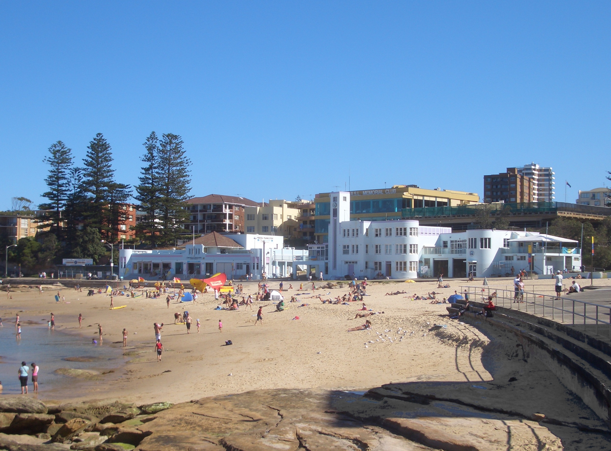
Cronulla Beach[1] (sometimes referred to as South Cronulla Beach), is a patrolled beach on Bate Bay, in Cronulla, New South Wales, Australia. The Cronulla Pavilion and the Cronulla Lifesaving Club are two prominent buildings located close to the sand. Cronulla Park sits behind the beach. The Cronulla Rock Pools are between Cronulla Beach and North Cronulla beach. The Alley is the local name given to the area between Cronulla Beach and North Cronulla Beach. Shark Island is a dangerous reef break, located off Cronulla Beach.
Contents
History
Cronulla is derived from an Aboriginal word kurranulla, meaning 'place of pink seashells'.[2]
Cronulla Surf Life Saving Club
The Cronulla Surf Life Saving Club,[3] was one of the first surf clubs established in Australia in 1907. The club had very humble beginnings in a tram carriage and today the clubhouse is housed in a magnificent art deco building on the beachfront, that was built in 1940.
Cronulla is one of the largest and strongest clubs in the surf life saving movement with 1,200 members, including 620 in its nipper ranks. Many lifesavers volunteer their time to patrol the beaches during the season from late September to late April. Cronulla has won three World Championships encompassing all rescue and Surf Life Saving competition and has consistently placed in the top 10 clubs at the Australian championships over the past 20 years.
Pop culture
Cronulla beach came to international prominence with the novel and film Puberty Blues.
Gallery
-
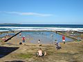
Cronulla Beach
-

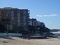
Cronulla Park
-
The Alley
-

Cronulla lifesaving club
-

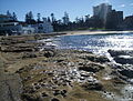
Cronulla Rock Pools
-
Cronulla Rock Pools
See also
- Beaches in Sydney
- Wanda Sand dunes
- Guide to Sydney Beaches
- "Sand in our Souls - the Beach in Australian History" Leone Huntsman, MUP, 2001
References
- ^ "Geographical Names Register Extract - Cronulla Beach". Geographical Names Board of New South Wales. http://gnb.nsw.gov.au/name/extract?id=JPYbWyZTJP. Retrieved 2007-06-22.[dead link]
- ^ "Sutherland Shire Place Names Fact Sheet". http://www.suthlib.nsw.gov.au/ssc/rwpattach.nsf/0/Factsheet_6_FINAL_20030728.pdf/$file/Factsheet_6_FINAL_20030728.pdf. Retrieved 2007-06-23.
- ^ "Cronulla Surf Life Saving Club". http://www.cronullasurfclub.com. Retrieved 2007-06-25.
Beaches of the Cronulla region Boat Harbour · Wanda Beach · Elouera Beach · North Cronulla Beach · Cronulla Beach · Blackwoods Beach · Shelly Beach · Oak ParkSuburbs and localities within the Sutherland Shire · Southern Sydney · Sydney Suburbs Alfords Point · Bangor · Barden Ridge · Bundeena · Bonnet Bay · Burraneer · Caringbah · Caringbah South · Como · Cronulla · Dolans Bay · Engadine · Grays Point · Gymea · Gymea Bay · Heathcote · Illawong · Jannali · Kangaroo Point · Kareela · Kirrawee · Kurnell · Lilli Pilli · Loftus · Lucas Heights · Maianbar · Menai · Miranda · Oyster Bay · Port Hacking · Sandy Point · Sutherland · Sylvania · Sylvania Waters · Taren Point · Waterfall · Woolooware · Woronora · Woronora Heights · Yarrawarrah · Yowie BayLocalities Audley · Bate Bay · Caravan Head · Como West · Cronulla Beach · Cronulla sand dunes · Elouera Beach · Garie Beach · Gundamaian · Gunnamatta Bay · North Cronulla Beach · North Engadine · Royal National Park · Shelly Beach · Sylvania Heights · Towra Point · Wanda Beach · Warumbul · Wattamolla
List of Sydney suburbs Coordinates: 34°03′20″S 151°09′18″E / 34.0555°S 151.1551°E
Categories:- Geography of Sydney
- Surfing locations in New South Wales
- Beaches of New South Wales
- Sydney geography stubs
-


Wikimedia Foundation. 2010.