- Caringbah, New South Wales
Infobox Australian Place | type = suburb
name = Caringbah
city = Sydney
state = nsw
caption = The Kingsway, Caringbah
lga = Sutherland Shire
postcode = 2229
pop = 21,281 (2006 Census)
area =
est =
propval =
stategov = Cronulla
fedgov = Cook
dist1 = 24
dir1 = south
location1= Sydney CBD
near-nw = Sylvania Waters
near-n = Taren Point
near-ne = Woolooware
near-w = Miranda
near-e = Dolans Bay Port Hacking
near-sw = Yowie Bay
near-s = Caringbah South
near-se = Lilli PilliCaringbah is a
suburb , in southernSydney , in the state ofNew South Wales ,Australia . Caringbah is located 24kilometres south of theSydney central business district in the local government area ofSutherland Shire .Caringbah once stretched from Woolooware Bay on the
Georges River to Yowie Bay and Burraneer Bay on thePort Hacking estuary. A number of Caringbah localities have been declared as separate suburbs but still share the postcode 2229. These suburbs are to the north, Taren Point on the Georges River and to the south, Port Hacking, Lilli Pilli, Dolans Bay and Caringbah South on the Port Hacking River.History
Caringbah is an Aboriginal word for "a pademelon wallaby". The suburb was originally called Highfield, but it is unclear whether this was a position description or whether it was named after an early resident. Caringbah was used from 1911, after the steam trams began operating between Cronulla and Sutherland. [ [http://www.sutherland.nsw.gov.au/ssc/rwpattach.nsf/viewasattachmentPersonal/shire_placenames_20041008.pdf/$file/shire_placenames_20041008.pdf History of Sutherland Shire Placenames] ]
Thomas Holt (1811-88) owned most of the land that stretched from Sutherland to Cronulla in the 1860s. Most of the area around Miranda and Caringbah was used for
market gardening from the 1880s. Caringbah was still used for orchards and farming until afterWorld War II . The railway line to Cronulla opened in 1939. ["The Book of Sydney Suburbs", Compiled by Frances Pollen, Angus & Robertson Publishers, 1990, Published in Australia ISBN 0-207-14495-8, p51 ]Commercial area
Caringbah features a mixture of residential, commercial and industrial areas. The commercial district is made up mostly of
small business es specialising inprofessional services . A large commercial and industrial area is also centred on Taren Point Road and surrounding areas. Commercial developments here include many home furnishing retailers and home renovation showrooms.The main shopping centre is located close to Caringbah railway station and is centred around the intersections of President Avenue, the Kingsway and Port Hacking Road South. A small group of shops, known as Caringbah South, is located further south on Port Hacking Road South. Another small group of shops is located even further south, close to the border of Lilli Pilli. Caringbah is home to the public district
Sutherland Hospital and Kareena Private Hospital on President Avenue.Transport
Caringbah is a central suburb of the Sutherland Shire, considering some of the main roads intersect here. President Avenue and the Kingsway both run from Sutherland via Miranda in the west, to the popular beachside suburb of Cronulla in the east.
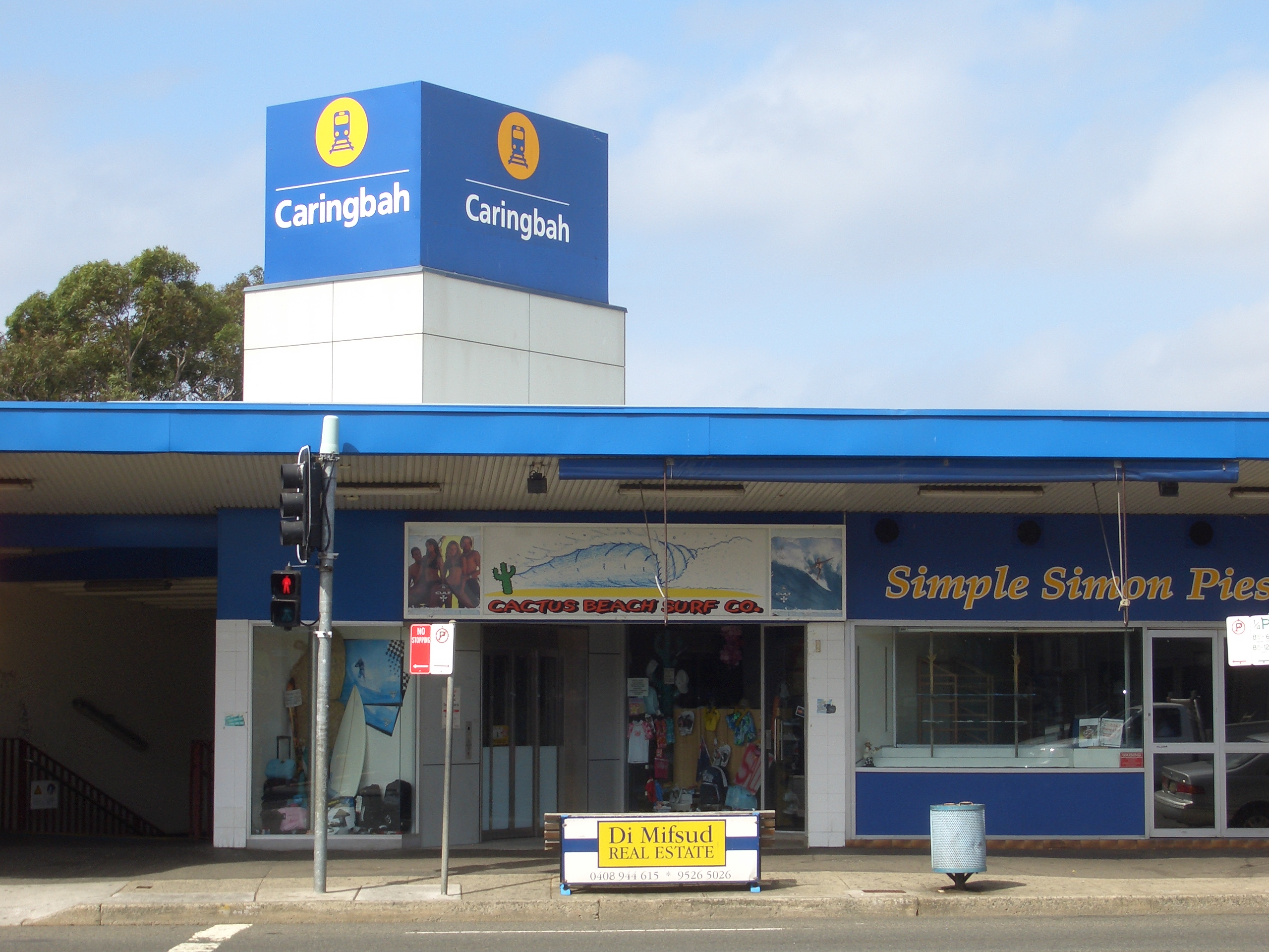
Taren Point Road leads north to the Captain Cook Bridge, St George area and further north to the Sydney CBD.Caringbah railway station is on the Cronulla branch of the
Illawarra line on theCity Rail network.Caringbah Bus Service runs buses to Lilli Pilli andWestfield Miranda andBusLink runs services to Cronulla andWestfield Miranda .Sydney Buses provide bus services to Rockdale andWestfield Miranda , but there are only limited Sydney Buses services that travel into the commercial area near the railway station.Burraneer Bay Marina is located on the western shore of Burraneer Bay.
chools
There are three secondary schools and a number of primary schools in Caringbah. The secondary schools are
Caringbah Selective High School , Endeavour Sports High School and De La Salle College. De La Salle College is a school for boys from year 7 to year 10. The primary schools include Caringbah Public School, Caringbah North Public School, Laguna Street Public School and Our Lady of Fatima Catholic Primary School.References
External links
Wikimedia Foundation. 2010.