- Menai, New South Wales
-
Menai
Sydney, New South Wales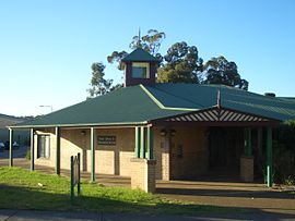
Menai LibraryPopulation: 10,592 (2001 census) Established: 1973 Postcode: 2234 Location: 28 km (17 mi) south of Sydney CBD LGA: Sutherland Shire State District: Menai Federal Division: Hughes Suburbs around Menai: Holsworthy Alfords Point Illawong Holsworthy Menai Bangor Lucas Heights Barden Ridge Barden Ridge Menai is a suburb in southern Sydney, in the state of New South Wales, Australia. Menai is located 29 kilometres south of the Sydney central business district in the local government area of the Sutherland Shire.
Contents
History
Menai is not, as many people first guess, an Aboriginal name, but is named after Menai Bridge, a town on the Menai Strait in Wales, Great Britain.
The area now known as Menai was originally called Bangor in 1895 by the land's owner, a farmer named Owen Jones, after his birthplace Bangor in Wales. To avoid confusion with Bangor in Tasmania, the Postmaster General's Office changed the suburb name to Menai in 1910. Menai Bridge in Wales lies opposite Bangor on the Menai Strait. When Menai expanded, the eastern section became Bangor again.[1]
It has been affected by bushfires on several occasions, including the infamous 1994 Eastern seaboard fires.
Commercial area
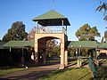
 Menai Marketplace
Menai contains a bustling shopping centre around Menai Road with many retail stores and fine restaurants. The two major retail developments are called Menai Metro and Menai Marketplace. Menai Marketplace is located beside the Menai Community Buildings and features a Woolworths supermarket, Big W discount department store and many specialty shops including an Electronics Boutique, Bakers Delight, Michel's Patisserie and Gloria Jean's.
Transport
Menai is not covered by the Sydney Buses network; a private bus company (Veolia) provides services to major centres.
Many people use drive-park-ride mode of transport to work. There are three well serviced train stations with parking facilities within 8-15 minutes driving (Padstow: 8.5 km, Jannali: 7.4km, Sutherland: 7.2km).
Sporting
Menai is home to the Menai Hawks, the local soccer club. They have taken out many titles in recent times.
Housing
Menai is a newer suburb, having been developed only since the early 1980s, and as such, nearly all the homes are new 4-bedders with dual bathrooms and double-garages and mostly owner occupied. In fact, the region has the highest rate of home ownership in Australia, at over 70% (according to the last census).
Sport and recreation
An indoor sporting complex is adjacent to the Menai shopping centre. Menai is home to the Menai Junior Rugby League Football Club who are known by the rhyming couplet "menai, head high", in a reference to their tough playing style by other rugby league juniors throughout the Sutherland Shire. Menai is also home to the Menai Dragons basketball association. The biggest sporting club in the area are the Menai Hawks soccer club.
Schools
Menai's schools include Menai Primary [K-6], Aquinas College [Catholic, 7-12] and Holy Family Primary School [Catholic, K-6]. Residents also use schools in neighbouring suburbs such as Lucas Heights Community School [Public, K-12] Alfords Point Primary [Public, K-6] in Alfords Point, Menai High [Public, 7-12], Tharawal [Public, K-6] and Illawong Primary [Public, K-6] in Illawong and Bangor Primary School [K-6] and Inaburra High School [K-12] in Bangor. Alfords Point Pre-School Kindergarten, an early learning centre, is located opposite the shops. There are several long daycare centres including ABC Menai, Allison Crescent Child Care Centre, Bradman Road Child Care Centre, Carter Road Long Day Care Centre, and Jumpstart Childcare.
-
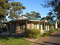
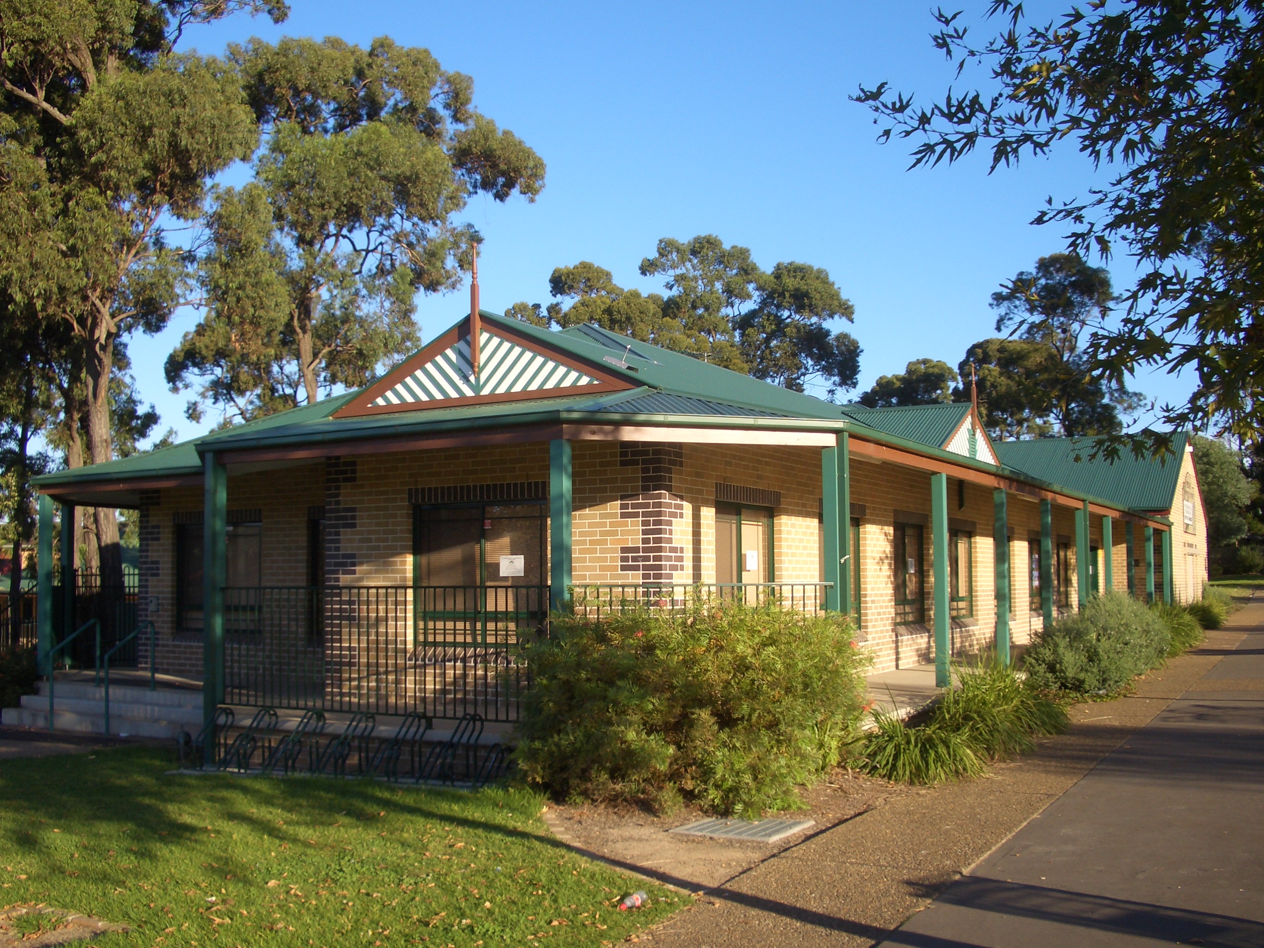
Menai Community Centre
-
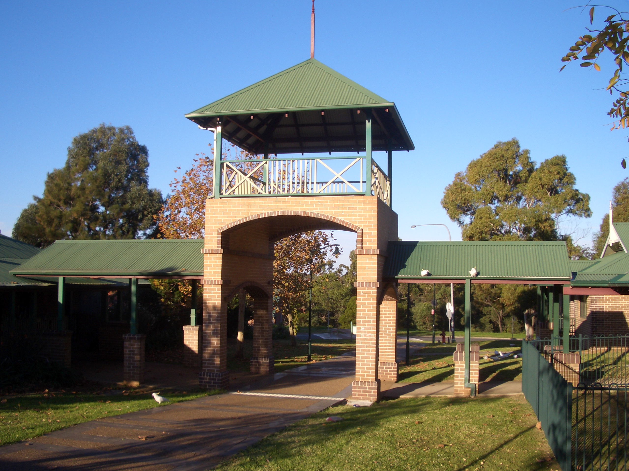
Menai Community Buildings
-
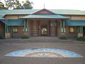
Menai Community Buildings
References
- ^ The Book of Sydney Suburbs, Compiled by Frances Pollon, Angus & Robertson Publishers, 1990, Published in Australia ISBN 0-207-14495-8, page 169
External links
- Menai, New South Wales is at coordinates 34°00′43″S 151°00′32″E / 34.01185°S 151.00892°ECoordinates: 34°00′43″S 151°00′32″E / 34.01185°S 151.00892°E
Suburbs and localities within the Sutherland Shire · Southern Sydney · Sydney Suburbs Alfords Point · Bangor · Barden Ridge · Bundeena · Bonnet Bay · Burraneer · Caringbah · Caringbah South · Como · Cronulla · Dolans Bay · Engadine · Grays Point · Gymea · Gymea Bay · Heathcote · Illawong · Jannali · Kangaroo Point · Kareela · Kirrawee · Kurnell · Lilli Pilli · Loftus · Lucas Heights · Maianbar · Menai · Miranda · Oyster Bay · Port Hacking · Sandy Point · Sutherland · Sylvania · Sylvania Waters · Taren Point · Waterfall · Woolooware · Woronora · Woronora Heights · Yarrawarrah · Yowie BayLocalities List of Sydney suburbs Categories:- Suburbs of Sydney
-


Wikimedia Foundation. 2010.