- National Register of Historic Places listings in Lafayette County, Mississippi
-
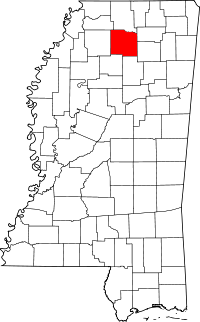 Location of Lafayette County in Mississippi
This is a list of the National Register of Historic Places listings in Lafayette County, Mississippi.
This is intended to be a complete list of the properties and districts on the National Register of Historic Places in Lafayette County, Mississippi, United States. Latitude and longitude coordinates are provided for many National Register properties and districts; these locations may be seen together in a Google map.[1]
There are 15 properties and districts listed on the National Register in the county, including 4 National Historic Landmarks.
-
- This National Park Service list is complete through NPS recent listings posted November 10, 2011.[2]
Current listings
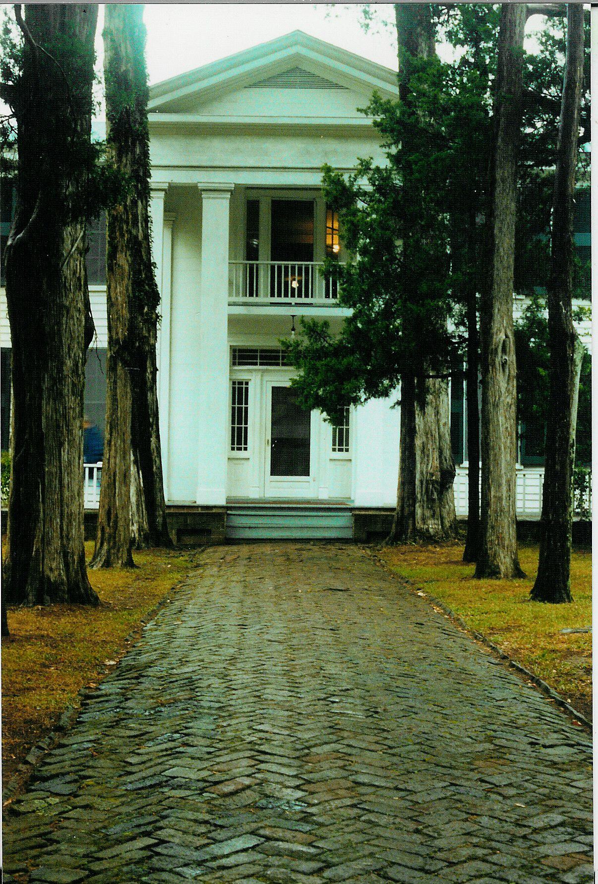
[3] Landmark name [4] Image Date listed Location City or town Summary 1 Ammadelle 
May 30, 1974 637 N. Lamar St.
34°22′20″N 89°31′11″W / 34.372222°N 89.519722°WOxford 2 Barnard Observatory 
December 8, 1978 University of Mississippi campus
34°21′58″N 89°32′04″W / 34.366111°N 89.534444°WOxford 3 College Church November 13, 1979 College Hill Rd.
34°25′23″N 89°34′06″W / 34.423056°N 89.568333°WCollege Hill 4 William Faulkner House 
May 23, 1968 Old Taylor Rd.
34°21′30″N 89°31′32″W / 34.358333°N 89.525556°WOxford 5 Hopewell Presbyterian Church July 15, 1999 2070 Mississippi Highway 10
34°23′37″N 89°24′41″W / 34.393611°N 89.411389°WOxford 6 Isom Place 
April 2, 1980 1003 Jefferson Ave.
34°22′09″N 89°31′10″W / 34.369167°N 89.519444°WOxford 7 Lafayette County Courthouse 
September 23, 1977 Courthouse Sq.
34°22′00″N 89°31′06″W / 34.366667°N 89.518333°WOxford 8 Lucius Quintus Cincinnatus Lamar House 
May 15, 1975 616 N. 14th St.
34°22′20″N 89°30′55″W / 34.372222°N 89.515278°WOxford 9 Lyceum-The Circle Historic District 
October 6, 2008 University Circle at the University of Mississippi Oxford 10 North Lamar Historic District November 14, 2007 Roughly bounded by N. 11th, Price, N. 16th, and Van Buren Sts. Oxford 11 Oxford Courthouse Square Historic District April 2, 1980 S. Lamar Boulevard and Jackson and Van Buren Aves.
34°21′58″N 89°31′04″W / 34.366111°N 89.517778°WOxford 12 Sand Spring Presbyterian Church February 25, 1993 Junction of County Roads 354 and 399 in Orwood, northwest of Water Valley
34°15′24″N 89°42′55″W / 34.256667°N 89.715278°WWater Valley 13 St. Peter's Episcopal Church July 24, 1975 113 S. 9th St.
34°22′00″N 89°31′13″W / 34.366667°N 89.520278°WOxford 14 South Lamar Historic District March 10, 2009 S. Lamar Boulevard and University Ave. Oxford 15 George Wright Young House November 14, 2007 100 County Road 233
34°23′22″N 89°23′39″W / 34.389444°N 89.394167°WOxford See also
- List of National Historic Landmarks in Mississippi
- National Register of Historic Places listings in Mississippi
References
- ^ The latitude and longitude information provided in this table was derived originally from the National Register Information System, which has been found to be fairly accurate for about 99% of listings. For about 1% of NRIS original coordinates, experience has shown that one or both coordinates are typos or otherwise extremely far off; some corrections may have been made. A more subtle problem causes many locations to be off by up to 150 yards, depending on location in the country: most NRIS coordinates were derived from tracing out latitude and longitudes off of USGS topographical quadrant maps created under the North American Datum of 1927, which differs from the current, highly accurate WGS84 GPS system used by Google maps. Chicago is about right, but NRIS longitudes in Washington are higher by about 4.5 seconds, and are lower by about 2.0 seconds in Maine. Latitudes differ by about 1.0 second in Florida. Some locations in this table may have been corrected to current GPS standards.
- ^ "National Register of Historic Places: Weekly List Actions". National Park Service, United States Department of the Interior. Retrieved on November 10, 2011.
- ^ Numbers represent an ordering by significant words. Various colorings, defined here, differentiate National Historic Landmark sites and National Register of Historic Places Districts from other NRHP buildings, structures, sites or objects.
- ^ "National Register Information System". National Register of Historic Places. National Park Service. . http://nrhp.focus.nps.gov/natreg/docs/All_Data.html.
U.S. National Register of Historic Places Topics Lists by states Alabama • Alaska • Arizona • Arkansas • California • Colorado • Connecticut • Delaware • Florida • Georgia • Hawaii • Idaho • Illinois • Indiana • Iowa • Kansas • Kentucky • Louisiana • Maine • Maryland • Massachusetts • Michigan • Minnesota • Mississippi • Missouri • Montana • Nebraska • Nevada • New Hampshire • New Jersey • New Mexico • New York • North Carolina • North Dakota • Ohio • Oklahoma • Oregon • Pennsylvania • Rhode Island • South Carolina • South Dakota • Tennessee • Texas • Utah • Vermont • Virginia • Washington • West Virginia • Wisconsin • WyomingLists by territories Lists by associated states Other Municipalities and communities of Lafayette County, Mississippi City 
Town Village Unincorporated
communitiesDenmark | Harmontown | Paris | Springdale | Tula
Categories:- Lafayette County, Mississippi
- National Register of Historic Places in Mississippi by county
- Buildings and structures in Lafayette County, Mississippi
-


Wikimedia Foundation. 2010.