- National Register of Historic Places listings in Cherokee County, Oklahoma
-
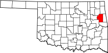 Location of Cherokee County in Oklahoma
This is a list of the National Register of Historic Places listings in Cherokee County, Oklahoma.
This is intended to be a complete list of the properties and districts on the National Register of Historic Places in Cherokee County, Oklahoma, United States. The locations of National Register properties and districts for which the latitude and longitude coordinates are included below, may be seen in a Google map.[1]
There are 21 properties and districts listed on the National Register in the county, including 2 National Historic Landmarks.
-
- This National Park Service list is complete through NPS recent listings posted November 10, 2011.[2]
Current listings
[3] Landmark name [4] Image Date listed Location City or town Summary 1 Alston-Bedwell House September 8, 2005 315 N. State
35°55′00″N 94°58′28″W / 35.916667°N 94.974444°WTahlequah 2 American Baptist Home Mission House September 3, 2010 530 Summit St.
35°55′10″N 94°58′26″W / 35.919444°N 94.973889°WTahlequah 3 American Legion Hut August 24, 2006 Tehlequah City Park, junction of E. Shawnee St. and N. Brookside Ave.
35°54′47″N 94°58′03″W / 35.913056°N 94.9675°WTahlequah 4 Cherokee Female Seminary 
April 5, 1973 Northeastern State University campus
35°55′13″N 94°58′12″W / 35.920278°N 94.97°WTahlequah 5 Cherokee National Capitol 
October 15, 1966 Eastern side of Muskogee Ave. between Keetoowah and Delaware Sts.
35°54′45″N 94°58′14″W / 35.9125°N 94.97056°W[5]Tahlequah 6 Cherokee National Jail 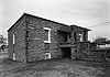
June 28, 1974 Choctaw St. and Water Ave.
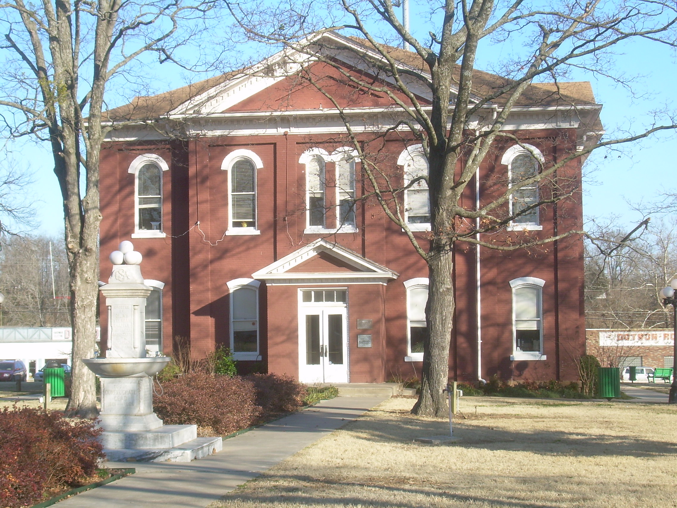
35°54′43″N 94°58′02″W / 35.911944°N 94.967222°WTahlequah 7 Cherokee Supreme Court Building 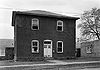
June 28, 1974 Keetoowah St. and Water Ave.
35°54′47″N 94°58′00″W / 35.913056°N 94.966667°WTahlequah 8 First Cherokee Female Seminary Site 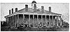
April 30, 1974 21191 S. Keeler Dr.
35°51′59″N 94°57′11″W / 35.866389°N 94.953056°WPark Hill 9 M.E. Franklin House September 5, 2006 415 N. College Ave.
35°55′03″N 94°58′13″W / 35.9175°N 94.970278°WTahlequah 10 French-Parks House March 18, 1985 209 W. Keetoowah St.
35°54′45″N 94°58′23″W / 35.9125°N 94.973056°WTahlequah 11 Illinois Campground December 6, 2004 County Road DO775
35°53′42″N 94°57′38″W / 35.895°N 94.960556°WTahlequah 12 Indian University of Tahlequah July 6, 1976 320 Academy
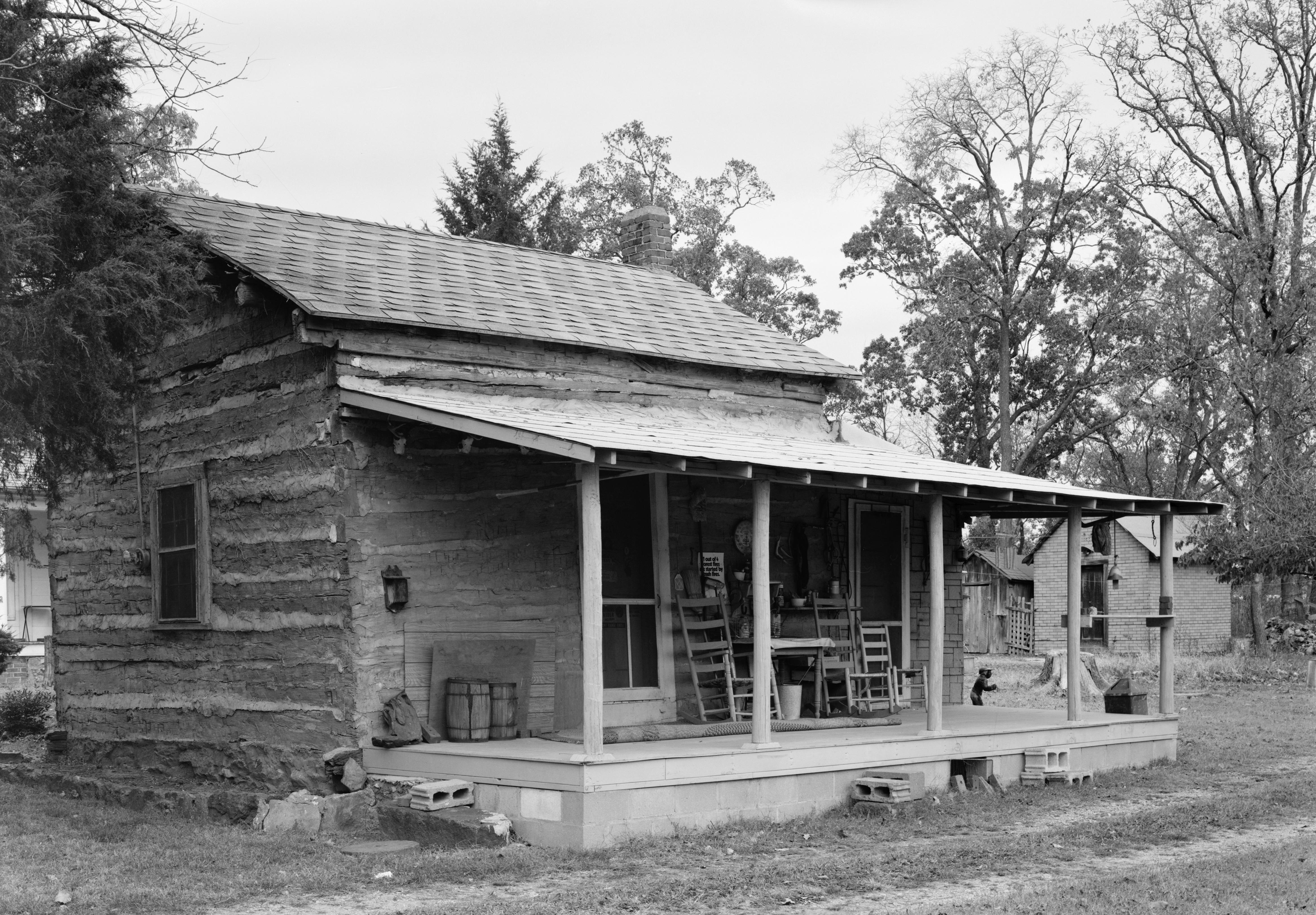
35°55′05″N 94°58′20″W / 35.918056°N 94.972222°WTahlequah 13 Dr. Irwin D. Loeser Log Cabin 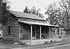
November 17, 1978 121 E. Smith St.
35°55′05″N 94°58′02″W / 35.918056°N 94.967222°WTahlequah 14 Leonard M. Logan House October 12, 2005 531 Summit
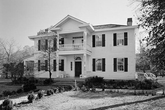
35°55′08″N 94°58′26″W / 35.918889°N 94.973889°WTahlequah 15 Murrell Home 
June 22, 1970 19479 East Murrel Road
35°50′57″N 94°57′51″W / 35.849167°N 94.964167°WPark Hill 16 Park Hill Mission Cemetery December 6, 2006 South Park Hill Rd., 0.5 miles south of East Murrell Rd.
35°50′58″N 94°57′57″W / 35.849444°N 94.965833°WPark Hill 17 Rosamund September 6, 2006 527 Seminary Ave.
35°55′05″N 94°58′14″W / 35.918056°N 94.970556°WTahlequah 18 Ross Cemetery March 7, 2002 0.5 miles south of the junction of Murrell Rd. and N4530 Rd.
35°51′03″N 94°56′53″W / 35.850833°N 94.948056°WPark Hill 19 Tahlequah Armory May 20, 1994 100 Water Ave.
35°54′47″N 94°58′08″W / 35.913056°N 94.968889°WTahlequah 20 Tahlequah Carnegie Library June 5, 2003 120 S. College
35°54′48″N 94°58′22″W / 35.913333°N 94.972778°WTahlequah 21 Joseph M. Thompson House March 11, 1993 300 S. College Ave.
35°54′48″N 94°58′33″W / 35.913333°N 94.975833°WTahlequah See also
- List of National Historic Landmarks in Oklahoma
- National Register of Historic Places listings in Oklahoma
References
- ^ The latitude and longitude information provided in this table was derived originally from the National Register Information System, which has been found to be fairly accurate for about 99% of listings. For about 1% of NRIS original coordinates, experience has shown that one or both coordinates are typos or otherwise extremely far off; some corrections may have been made. A more subtle problem causes many locations to be off by up to 150 yards, depending on location in the country: most NRIS coordinates were derived from tracing out latitude and longitudes off of USGS topographical quadrant maps created under the North American Datum of 1927, which differs from the current, highly accurate WGS84 GPS system used by Google maps. Chicago is about right, but NRIS longitudes in Washington are higher by about 4.5 seconds, and are lower by about 2.0 seconds in Maine. Latitudes differ by about 1.0 second in Florida. Some locations in this table may have been corrected to current GPS standards.
- ^ "National Register of Historic Places: Weekly List Actions". National Park Service, United States Department of the Interior. Retrieved on November 10, 2011.
- ^ Numbers represent an ordering by significant words. Various colorings, defined here, differentiate National Historic Landmark sites and National Register of Historic Places Districts from other NRHP buildings, structures, sites or objects.
- ^ "National Register Information System". National Register of Historic Places. National Park Service. . http://nrhp.focus.nps.gov/natreg/docs/All_Data.html.
- ^ Address derived from the coordinates provided by the NRIS; the NRIS lists the building as "Address Restricted"
U.S. National Register of Historic Places Topics Lists by states Alabama • Alaska • Arizona • Arkansas • California • Colorado • Connecticut • Delaware • Florida • Georgia • Hawaii • Idaho • Illinois • Indiana • Iowa • Kansas • Kentucky • Louisiana • Maine • Maryland • Massachusetts • Michigan • Minnesota • Mississippi • Missouri • Montana • Nebraska • Nevada • New Hampshire • New Jersey • New Mexico • New York • North Carolina • North Dakota • Ohio • Oklahoma • Oregon • Pennsylvania • Rhode Island • South Carolina • South Dakota • Tennessee • Texas • Utah • Vermont • Virginia • Washington • West Virginia • Wisconsin • WyomingLists by territories Lists by associated states Other National Register of Historic Places in Cherokee County, Oklahoma Park Hill First Cherokee Female Seminary Site · Murrell Home · Park Hill Mission Cemetery · Ross Cemetey

Tahlequah Alston-Bedwell House · American Legion Hut · Cherokee Female Seminary · Cherokee National Capitol · Cherokee National Jail · Cherokee Supreme Court Building · M. E. Franklin House · French-Parks House · Indian University of Tahlequah · Dr. Irwin D. Loeser Log Cabin · Leonard M. Logan House · Rosamund House · Tahlequah Armory · Tahlequah Carnegie Library · Joseph M. Thompson House · Illinois Campground
See also: National Register of Historic Places listings in Cherokee County, Oklahoma and List of National Historic Landmarks in OklahomaCategories:- Cherokee County, Oklahoma
- National Register of Historic Places in Oklahoma by county
- Buildings and structures in Cherokee County, Oklahoma
-


Wikimedia Foundation. 2010.