- Coxlodge
-
For other uses, see Coxlodge (disambiguation).
Coxlodge Metropolitan borough Newcastle upon Tyne Metropolitan county Tyne and Wear Region North East Country England Sovereign state United Kingdom Post town NEWCASTLE UPON TYNE Postcode district NE3 Dialling code 0191 Police Northumbria Fire Tyne and Wear Ambulance North East EU Parliament North East England List of places: UK • England • Tyne and Wear Coxlodge is an area situated between Fawdon, Gosforth and Kenton in Newcastle upon Tyne, England.
Contents
History
By order of the Local Government Board on 20 September 1872, the parishes of South Gosforth and Coxlodge were constituted into an urban district, the South Gosforth Local Board. After the 1894 Local Government Act, it became the South Gosforth Urban District Council. A year later, by a Northumberland County Council order dated 14 March 1895, the title was changed again to Gosforth Urban District Council. The parishes of Coxlodge and South Gosforth were amalgamated into the parish of Gosforth in 1908. The Gosforth Urban District Council was finally abolished on 1 April 1974 to become part of Newcastle Metropolitan Borough Council.[1]
Mining
In the 19th century Coxlodge Colliery was in operation.[2] The area of land which Coxlodge Colliery occupied is around the modern day Regent Centre area, where there is a large business park.
Notable residents
Notable people who were born in Coxlodge include Tommy Glidden, an English footballer.
- Coxlodge Hall
A number of wealthy people lived in a large residence called Coxlodge Hall, which was built in 1796 by Job Bulman, a medical man originally from Gateshead who had made his money in India. Bulman lived there until he died in 1818. The hall was sold a number of times and occupants included the soap manufacturer Thomas Hedley and shipbuilders Andrew Leslie and Sir Rowland Hodge. The Hall itself was destroyed by fire; the cottage and Coach House survived.[3] In 1950 the coach house was eventually turned into offices. The current owners are Summers-Inman Construction and Property Consultants who bought the coach house of Coxlodge Hall in 1972 and have since renovated the location.[4]
Transport
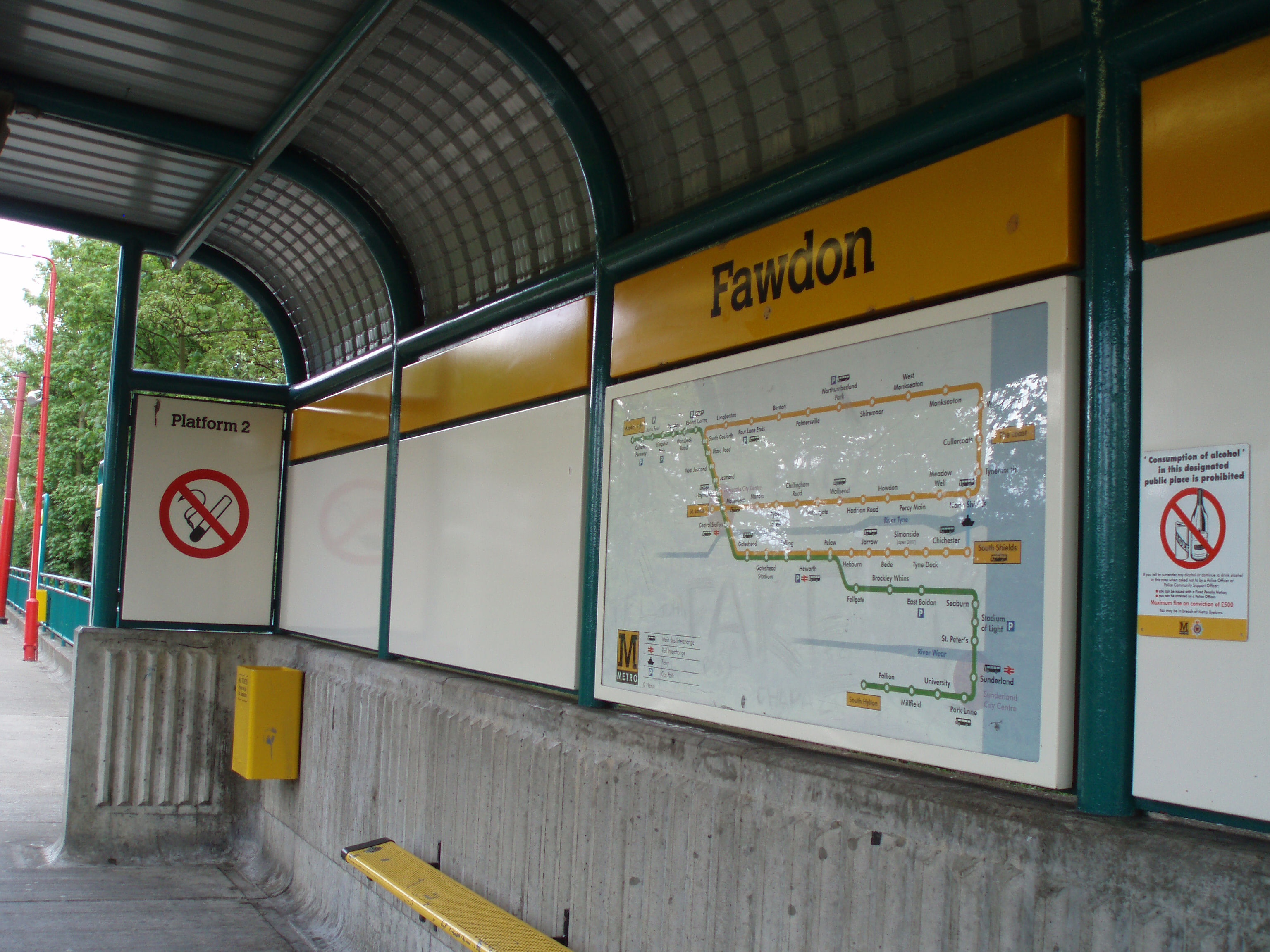
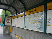 Fawdon Metro station is situated at the former location of Coxlodge station.
The nearest modern day Tyne & Wear Metro stations are Fawdon and Wansbeck Road. There used to be a railway station called Coxlodge station, which was in use between 1905 and 1929 on the Ponteland and Darras Hall Branch of the North Eastern Railway.[5] The site of this station is now occupied by Fawdon Metro station.
St Nicholas Hospital
Main article: St Nicholas HospitalIn the 1850s Newcastle upon Tyne's hospitals for mentally ill patients were overcrowding; a new asylum was promised in Coxlodge, where a 50-acre (200,000 m2) farmstead had been purchased. It opened as Newcastle upon Tyne Borough Lunatic Asylum in July 1869. In 1882 it changed its name to Newcastle upon Tyne City Lunatic Asylum.[6] In 1948 the National Health Service took over the hospital and changed the name to St Nicholas Hospital.
References
- ^ Reference number UD.GO. Tyne and Wear Archives Service.
- ^ "Coxlodge Colliery". The Durham Mining Museum. http://www.dmm.org.uk/colliery/c039.htm. Retrieved 2008-05-04.
- ^ "Newcastle upon Tyne". northumbrian-coast.co.uk. http://www.northumbrian-coast.co.uk/newcastle.htm. Retrieved 2008-05-04.
- ^ "Newcastle Office". Summers-Inman Construction and Property Consultants. http://www.summers-inman.co.uk/locations/newcastle.php. Retrieved 2008-09-29.
- ^ "Ponteland Light Railway & Darras Hall Branch". Northumbrian Railways. http://www.northumbrian-railways.co.uk/index.php?page=coxlodge. Retrieved 2008-04-26.
- ^ Reference number HO.SN. Tyne & Wear Archives Service.
Coordinates: 55°01′N 1°38′W / 55.01°N 1.64°W
Categories:- Tyne and Wear geography stubs
- Districts of Newcastle upon Tyne
Wikimedia Foundation. 2010.