- Ouseburn
-
Coordinates: 54°58′26″N 1°35′24″W / 54.974°N 1.590°W
Ouseburn 
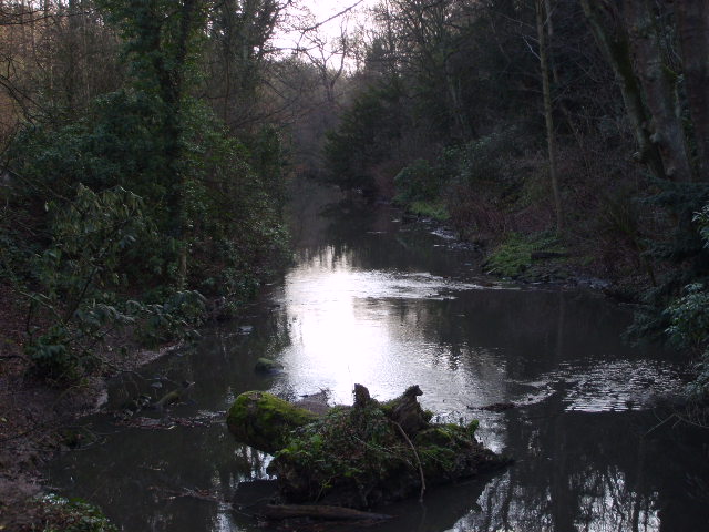
The Ouseburn at Jesmond Dene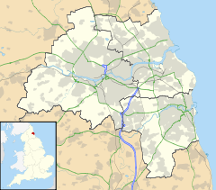
 Ouseburn
 Ouseburn shown within Tyne and Wear
OS grid reference NZ263644 List of places: UK • England • Tyne and Wear The Ouseburn is a river which flows through Newcastle upon Tyne into the River Tyne. The river gives its name to the Ouseburn electoral ward.
The source of the Ouseburn is located at Callerton in the north of the city near Newcastle Airport. It then flows through the Kingston Park area of the city, Newcastle Great Park, Gosforth Park and Whitebridge Park. The Ouseburn then continues through Paddy Freemans park in South Gosforth and into Jesmond Dene, Armstrong Park and Heaton Park, where it provides the boundary between Heaton and Sandyford. The river then flows through an underground culvert before re-emerging under Byker Bridge, where it flows past Byker Farm and meets the River Tyne.
The lower Ouseburn Valley through which it flows is also home to a number of pubs (Free Trade - right at the confluence with the Tyne with good view of the bridges looking upriver, The Tyne, the Cumberland Arms, The Ship Inn, Tanners and The Cluny) known locally in the Newcastle area for live music and real ale. It is also a hub for the arts and creative industries, including the Biscuit Factory (open gallery), the Mushroom Works (open first weekend of the month), Testhouse 5 (appointment only), North Grange Glass (stained glass gallery and cafe), 36 Lime Street and Cobalt Studios.
The Ouseburn Valley is also the home of Seven Stories, the national centre for children's books.
Whilst the area was the cradle of the Industrial Revolution in Newcastle and was once home to many thriving (and very dirty) heavy crafts and industries, it fell into disuse and dereliction by the mid-twentieth century. The current incarnation of the Valley as a cultural regeneration hotspot was initiated by the Ouseburn Trust, in partnership with the local authority, in 1996. The Trust remains a landlord and developer in the Ouseburn, and seeks to involve people in the heritage and regeneration of the area through its programme of free walks, talks and volunteering activities.The river was previously tidal from roughly below Byker Bridge, revealing dark mud at low tide. The Ouseburn tidal barrage at the river mouth, which was completed in 2009, now retains high water in the Ouseburn at low tide, with the objective of providing a pleasanter environment alongside its banks at low tide, thus promoting development.
See also
External links
Categories:- Newcastle upon Tyne
- Districts of Newcastle upon Tyne
- Wards of Newcastle upon Tyne
- Rivers of Tyne and Wear

Wikimedia Foundation. 2010.