- Monkseaton
-
Coordinates: 55°02′35″N 1°27′32″W / 55.043°N 1.459°W
Monkseaton 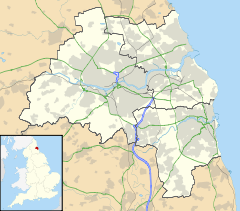
 Monkseaton
Monkseaton shown within Tyne and WearOS grid reference NZ346722 Metropolitan borough North Tyneside Metropolitan county Tyne & Wear Region North East Country England Sovereign state United Kingdom Post town WHITLEY BAY Postcode district NE25 Dialling code 0191 Police Northumbria Fire Tyne and Wear Ambulance North East EU Parliament North East England UK Parliament Tynemouth List of places: UK • England • Tyne and Wear Monkseaton is a village near Whitley Bay, North Tyneside, in the northeast of England. It is in the north-east of the borough, less than a kilometre from the North Sea coast and around 5 km north of the River Tyne at North Shields. A kilometre or so north of Monkseaton, the extensive built-up areas of North Tyneside change abruptly into green belt stretching north into south east Northumberland.
Monkseaton predates the Tyneside coastal resort of Whitley Bay, being originally recorded as land owned by the Priory of Tynemouth. The first documentary references to Monkseaton medieval village date from the early 12th century (c.1106-16) when Henry I granted Seton, later to be renamed Monkseaton, to Tynemouth Priory. It was a substantial village in the late 13th century, when Monkseaton Manor was one of 10 manors of Tynemouth Priory, with 15 bondsmen, 10 cotmen and 3 freeholds listed in 1292.[1]
There are still the remains of a medieval brewery wall to be seen alongside the Monkseaton Arms public house. Although Monkseaton has been subsumed in the urban developments of the 20th century, it still retains much of the character of the village it once was.
Churchill Playing Fields are located within the vicinity and the North Tyneside International Youth Football Tournament takes place here every year. Bowling greens, tennis courts and a cricket pavilion accompany the park.
Monkseaton railway station was moved to its current position around 1915 and the tennis courts in Souter Park South are now where the station was originally located. The station is one of the village's two stops on the circular Tyne and Wear Metro which connects it to Newcastle, the other being West Monkseaton. Another rail route, heading north up the coast, is now disused and has been adapted into a footpath and cycle route leading to the A190 road that links Seaton Sluice to the town of Seaton Delaval.
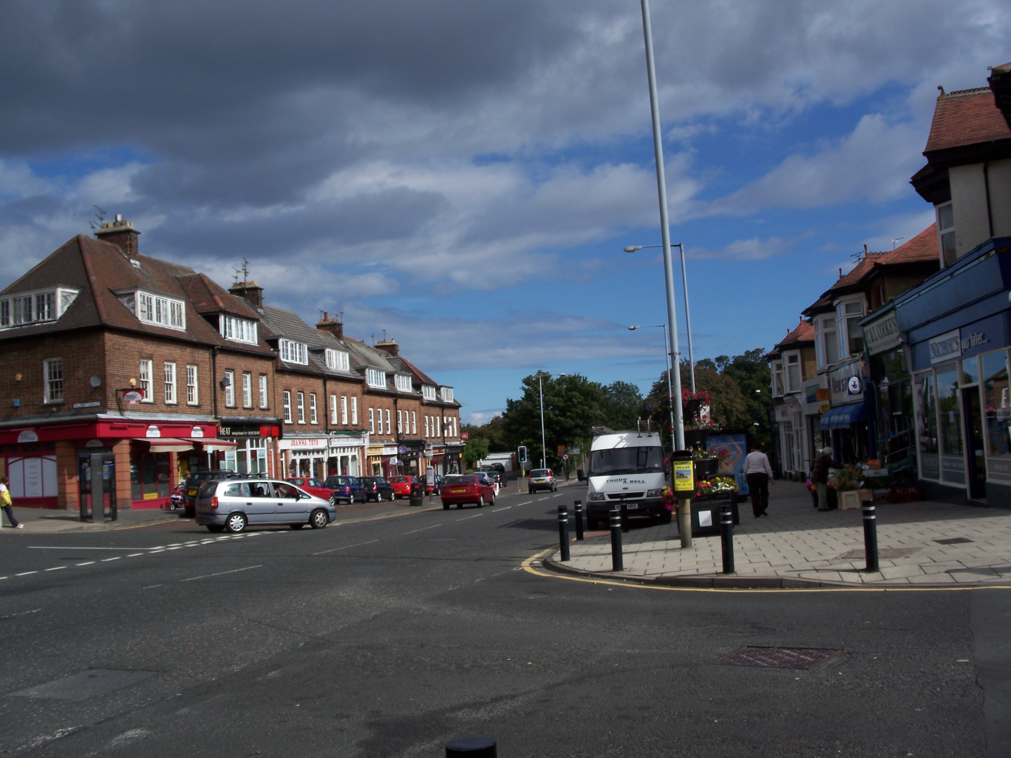
 Front Street, Monkseaton
Monkseaton contains three pubs, all of which are situated close to each other on the north side of Front Street, the main thoroughfare of the village. Heading west from the Metro station, the first of these is The Monkseaton Arms. Next is The Black Horse. Finally, set back from the street somewhat, is The Ship Inn. Two other pubs, The Hunting Lodge and The Beacon, are located west and north towards West Monkseaton Metro station. There are two local schools, Valley Gardens Middle School and Whitley Bay High School.
In 1989, one person was killed and 14 others injured in the Monkseaton shootings.
References
- ^ http://www.northtyneside.gov.uk/news/newsinfoitem.shtml?p_ID=134 Proposed Designation of Monkseaton as a Conservation Area – Draft Consultation Boundary, North Tyneside Council, 20 May 2005
External links
Categories:- Villages in Tyne and Wear

Wikimedia Foundation. 2010.