- Docklands Light Railway extension to Dagenham Dock
-
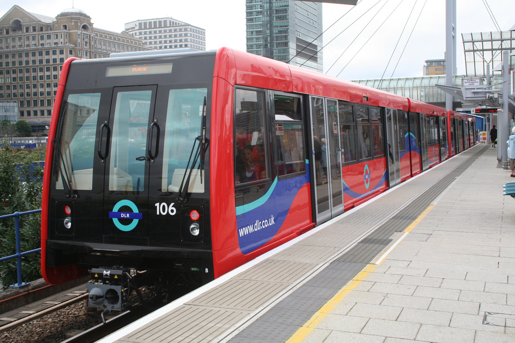
Coordinates: 51°30′32″N 0°04′18″E / 51.50889°N 0.07167°E The Docklands Light Railway extension to Dagenham Dock is a proposed, and as yet unfunded, extension of the Docklands Light Railway to Dagenham Dock in east London. It was anticipated that the project could be completed and open for use by 2017.[1] However the public inquiry has been postponed due to concerns about funding. The proposed extension forms part of the planned transport infrastructure of the London Riverside section of the Thames Gateway redevelopment project.
Proposed route and stations
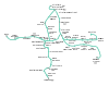
The proposed route diverges from the Beckton branch at Gallions Reach station in the London Borough of Newham. It follows the River Thames north bank, crossing the mouth of the River Roding in a bored tunnel south of the Barking Flood Barrier. Here it enters the London Borough of Barking and Dagenham and continues to follow the river on a viaduct before heading northwards to reach Goresbrook and Dagenham Dock.[2] It is envisaged that four new stations will be built, with additional platforms at Dagenham Dock which is currently a c2c station.
Station London borough Beckton Riverside Newham Creekmouth Barking and Dagenham Barking Riverside Barking and Dagenham Goresbrook (formerly Dagenham Vale) Barking and Dagenham Dagenham Dock Barking and Dagenham Project development
In 2007 a number of route options went to public consultation, with a decision made in November. An application for a Transport and Works Act order was made during 2008.[3] The order makes provision for the compulsory purchase of land along the route. A public enquiry was due to take place but was postponed. As the reason for this project is almost entirely to serve homes in the Thames Gateway which see no immediate prospect of being built, timescales for this project are now uncertain.
In November 2008 the Mayor of London Boris Johnson announced that due to financial constraints the proposed extension, along with a number of other transport projects, had been cancelled.[4]
In October 2009 the project featured in the draft transport strategy and the draft replacement of the London Plan.[5] The Mayor's transport strategy states that Transport for London will investigate the feasibility of the extension as part of the housing proposals for Barking Riverside.[6]
References
- ^ Transport for London - Docklands Light Railway - Dagenham Dock: Key Project Milestones
- ^ Transport for London - DLR Dagenham Dock extension preferred alignment (February 2008)
- ^ Transport for London - DLR Extension to Dagenham Dock
- ^ "TfL scraps projects and cuts jobs". BBC News. 2008-11-06. http://news.bbc.co.uk/1/hi/england/london/7712002.stm. Retrieved 2010-05-01.
- ^ "Light Rail is back on London Mayor's agenda". Railnews. 2009-10-12. http://www.railnews.co.uk/news/metro/2009/10/12-light-rail-is-back-on.html. Retrieved 2009-10-13.
- ^ "Mayor's Transport Strategy, Chapter five—transport proposals". Transport for London. http://mts.tfl.gov.uk/documents/MTS09-Chapter-5-Proposals.aspx. Retrieved 2009-10-21.
Bank/Tower Gateway-Canning TownBank • Blackwall • Canning Town • East India • Limehouse
  • Poplar • Shadwell • Westferry • Tower Gateway ( Tower Hill, Fenchurch Street)Lewisham branchStratford branchBeckton branchBeckton • Beckton Park • Custom House • Cyprus • Gallions Reach • Prince Regent • Royal Albert • Royal VictoriaWoolwich Arsenal branchStratford International branch
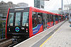
click to enlargeFuture ExtensionsStationsRolling stock Rolling StockDepotsBeckton • PoplarProposed rail infrastructure projects in the United Kingdom Projects Aberdeen Crossrail · Bakerloo line extension to Camberwell · Camp Hill Line · Chelsea–Hackney line · Crossrail Glasgow · Croxley Rail Link · DLR extension to Dagenham Dock · Gateway Plus · Heathrow Airtrack · High Speed 2 · Levenmouth rail link · North and West London Light Railway · Northern line extension to Battersea · South Staffordshire Line reopening · St Andrews rail link · Skipton-Colne Rail Link · Tees Valley Metro · UK Ultraspeed · Varsity Line · West London Orbital · Windsor Link Railway
Stations Aldridge · Ascot Road · Bermuda · Brent Cross Thameslink · Brinsford Parkway · Caerleon · Castle Bromwich · Curzon Street · Chelsea (or Kings Road) · Chesterton · Conon Bridge · Coventry Arena · Crossrail-HS2 Interchange · Cwm · Ebbw Vale Town · Elland · Fort Parkway · Glasgow Airport · Gloucestershire Parkway · Haxby · Hazelwell · Headbolt Lane · Heathrow Hub · Horsforth Woodside · Kings Heath · Lea Bridge · Llanwern · Low Moor · Moseley · Newport West · Portway · Primrose Hill · Pye Corner · Reading Green Park · Rushden Parkway · Stafford Parkway · Stratford Parkway · Surrey Canal Road · Vauxhall (Merseyside) · Water Eaton Parkway · Watford West · West Hampstead interchange · Willenhall · Wixams · Worcester (North) Parkway · Worcester (Norton) Parkway
Heritage railways Don Valley Railway · Norfolk Orbital Railway · Royal Docks Heritage Railway · Wisbech and March Bramley Line► CurrentCategories:- Proposed railway lines in London
- Transport in Newham
- Transport in Barking and Dagenham
- Thames Gateway
- Docklands Light Railway

Wikimedia Foundation. 2010.