- Devons Road DLR station
-
Devons Road 

 Devons Road
Location of Devons Road in Greater LondonLocation Bromley-by-Bow Local authority London Borough of Tower Hamlets Managed by Docklands Light Railway Number of platforms 2 Accessible  [1]
[1]Fare zone 2 Original company Docklands Light Railway 31 August 1987 Opened List of stations Underground · National Rail Coordinates: 51°31′20″N 0°01′03″W / 51.5223°N 0.0174°W
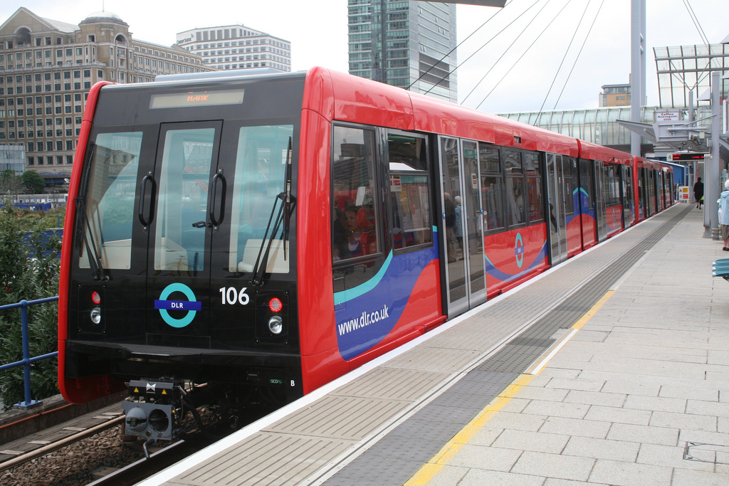
Devons Road station is a station on the Docklands Light Railway (DLR) in east London, serving Bromley-by-Bow to the north and Poplar to the south and west. It takes its name from the B140 Devons Road.
The station is located on the DLR's Stratford branch, between Langdon Park and Bow Church stations and is in Travelcard Zone 2.
Contents
Transports Links
London bus routes 323 and D8.
Gallery
-
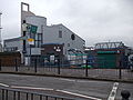
Station entrance
-

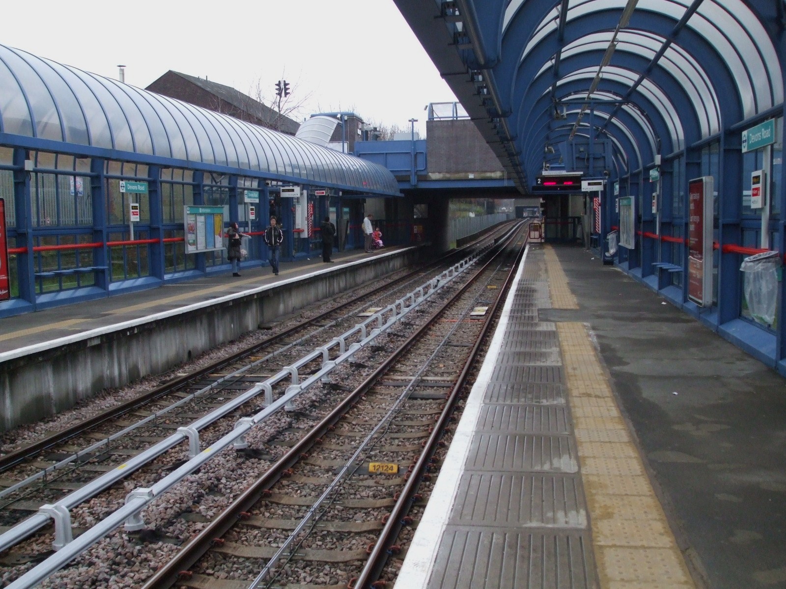
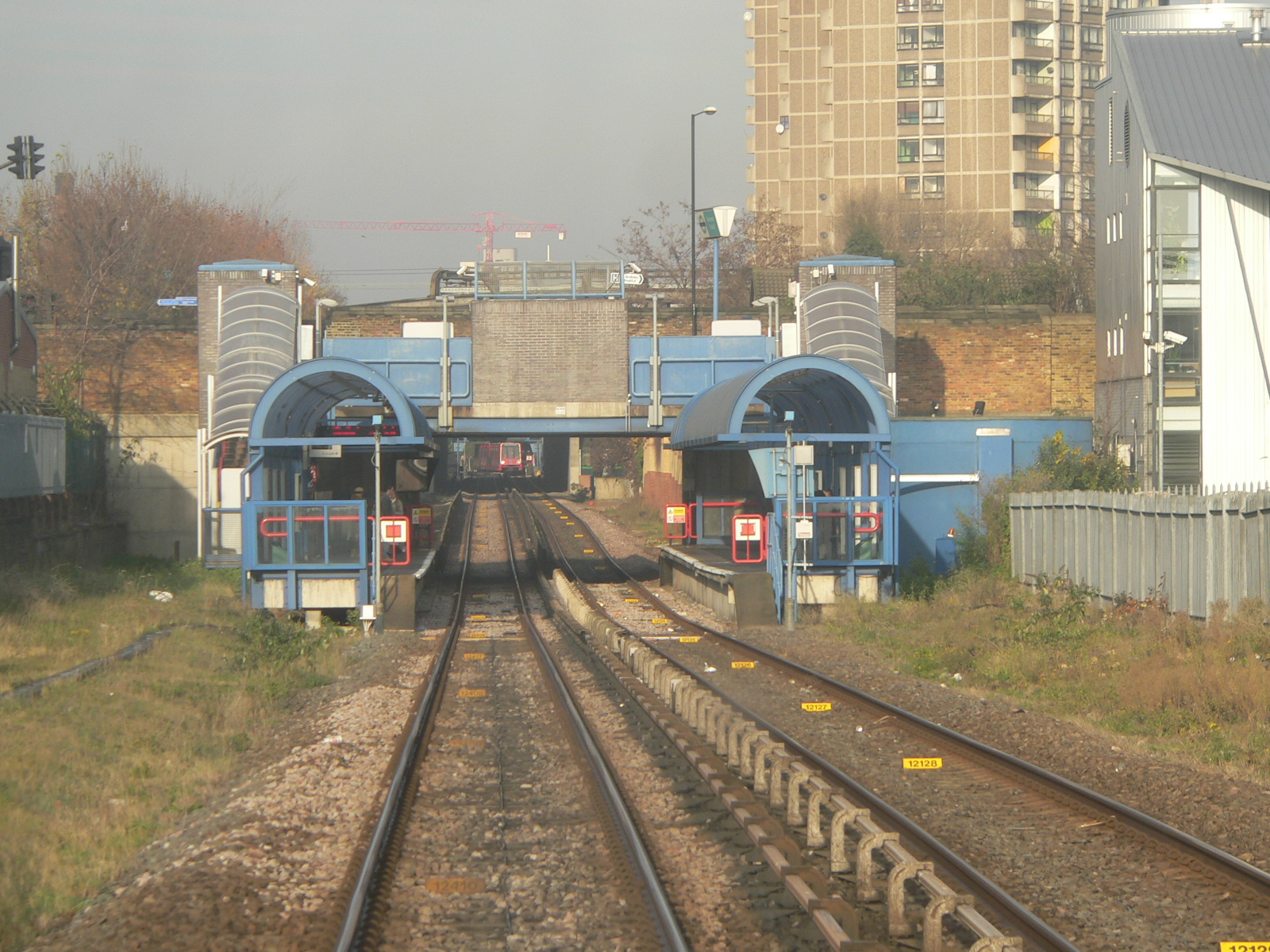
Platform 1
-

Platform 2
-

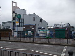
Station overview
References
- ^ "Step free Tube Guide". Transport for London. December 2009. http://www.tfl.gov.uk/assets/downloads/step-free-tube-guide-map.pdf. Retrieved 8 February 2010.
External links
Preceding station  DLR
DLRFollowing station towards LewishamDocklands Light Railway towards StratfordBank/Tower Gateway-Canning TownBank • Blackwall • Canning Town • East India • Limehouse
  • Poplar • Shadwell • Westferry • Tower Gateway ( Tower Hill, Fenchurch Street)Lewisham branchStratford branchBeckton branchBeckton • Beckton Park • Custom House • Cyprus • Gallions Reach • Prince Regent • Royal Albert • Royal VictoriaWoolwich Arsenal branchStratford International branch
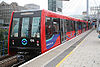
click to enlargeFuture ExtensionsStationsRolling stock Rolling StockDepotsBeckton • PoplarTransport for London
Categories:- Stations in London fare zone 2
- Docklands Light Railway stations in Tower Hamlets
- Railway stations opened in 1987
- London Transport stubs
-


Wikimedia Foundation. 2010.