- Cutty Sark for Maritime Greenwich DLR station
-
Cutty Sark for Maritime Greenwich 
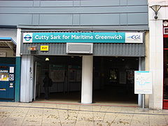
Station entrance
 Cutty Sark for Maritime Greenwich
Location of Cutty Sark for Maritime Greenwich in Greater LondonLocation Greenwich Local authority London Borough of Greenwich Managed by Docklands Light Railway Number of platforms 2 Accessible  [1]
[1]Fare zone 2 and 3 1999 Opened List of stations Underground · National Rail Coordinates: 51°28′53″N 0°00′37″W / 51.4815°N 0.0103°W
Cutty Sark is a light metro station on the Docklands Light Railway system in central Greenwich, London. One of three DLR stations in the London Borough of Greenwich, it is also known as Cutty Sark for Maritime Greenwich for its location within the aforementioned district.
Contents
Location
The northernmost of the Greenwich DLR stations, Cutty Sark is located in the Maritime Greenwich district of south-eastern London. Its name comes from the clipper ship named Cutty Sark which is housed one block to the east of the station; in 2007 the ship was severely damaged in a fire that occurred during restoration. A number of well-known tourist attractions are in the surrounding area, including the National Maritime Museum, Royal Observatory, Greenwich Hospital, Greenwich foot tunnel, Trinity College of Music, and the Old Royal Naval College.[2]
It is the first station south of the River Thames and, as the DLR passes underneath the river in a tunnel, is below ground. Along with all other stations on the Lewisham extension, it is in Travelcard Zones 2 and 3; passengers are only charged the lower of two possible fares as a result.
History
Cutty Sark station opened on 3 December 1999 as part of a 4.2 km (3 mi) extension of the DLR from its former southern terminus of Island Gardens to Lewisham.[3] Since its opening, the extension has seen tremendous growth as a result of connecting the Isle of Dogs financial centre with Greenwich, along with two National Rail connections.[4]
The need for capacity increases has posed issues for the station. While most stations on the network have had their platforms extended as part of Transport for London's three-carriage capacity enhancement project, the island platform at Cutty Sark could not be lengthened due to cost (estimated at £30m) and risk of damage to the heritage site at street level. TfL proceeded with an alternate plan for the station that involved the use of selective door operation which allows three-car trains to stop at the station by only having the doors near the centre of the train open in both end carriages.[5]
Station layout
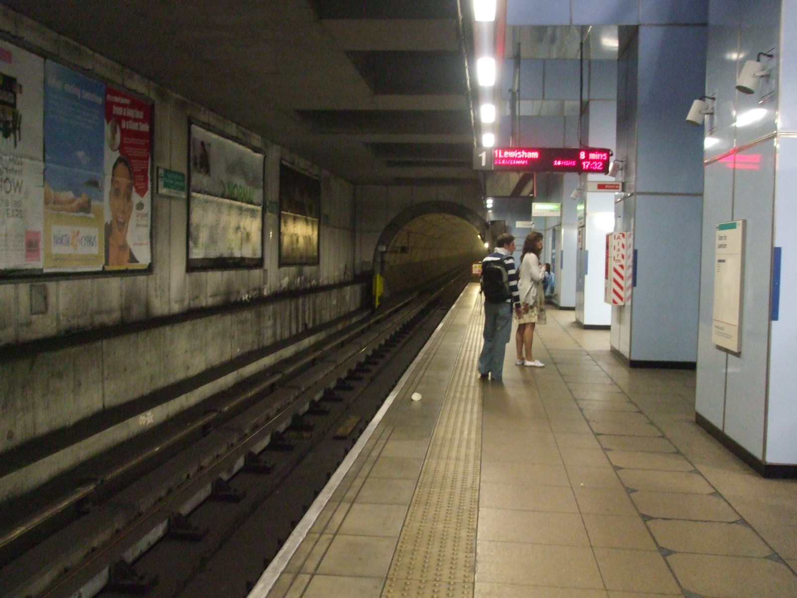
One of only four completely underground stations on the DLR network, Cutty Sark station utilises an island platform setup with two tracks. This is similar to its cross-river sister station, Island Gardens, but unlike Bank station, which is designed to resemble a deep-level London Underground station.
Service
On the DLR, Cutty Sark serves trains on two branches: Bank to Lewisham and Stratford to Lewisham. The former runs at frequencies of up to four minutes between trains, while the latter only runs during morning peak hours; at other times trains from Stratford terminate at Canary Wharf.[6] Passengers bound for Tower Gateway, Beckton, or Woolwich Arsenal must change at Poplar or Westferry.
Bus connections
London Bus routes 188, 199 and night route N1 stop directly outside the station. Other routes stop nearby in Greenwich Village.[7]
Service Towards TfL Notes Stop A 188 North Greenwich 
24-hour 199 Catford bus garage Stop B 188 Russell Square via Canada Water 24-hour 199 Canada Water Gallery
-

Southbound platform 1 looking south
-

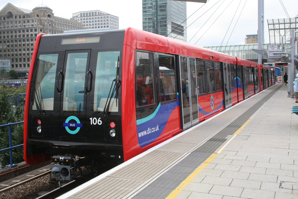
Train stopped at platform 1
-

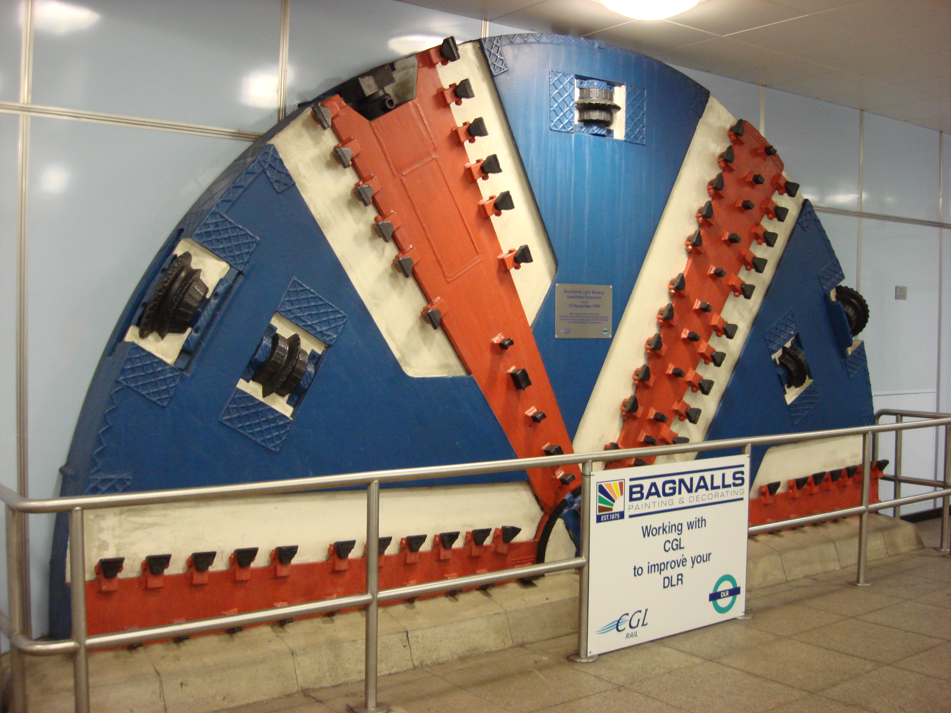
Part of the cutter head from the front of the TBM (tunnel boring machine) used to drive the twin tunnels under the river Thames from Island Gardens to Greenwich
-
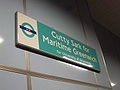
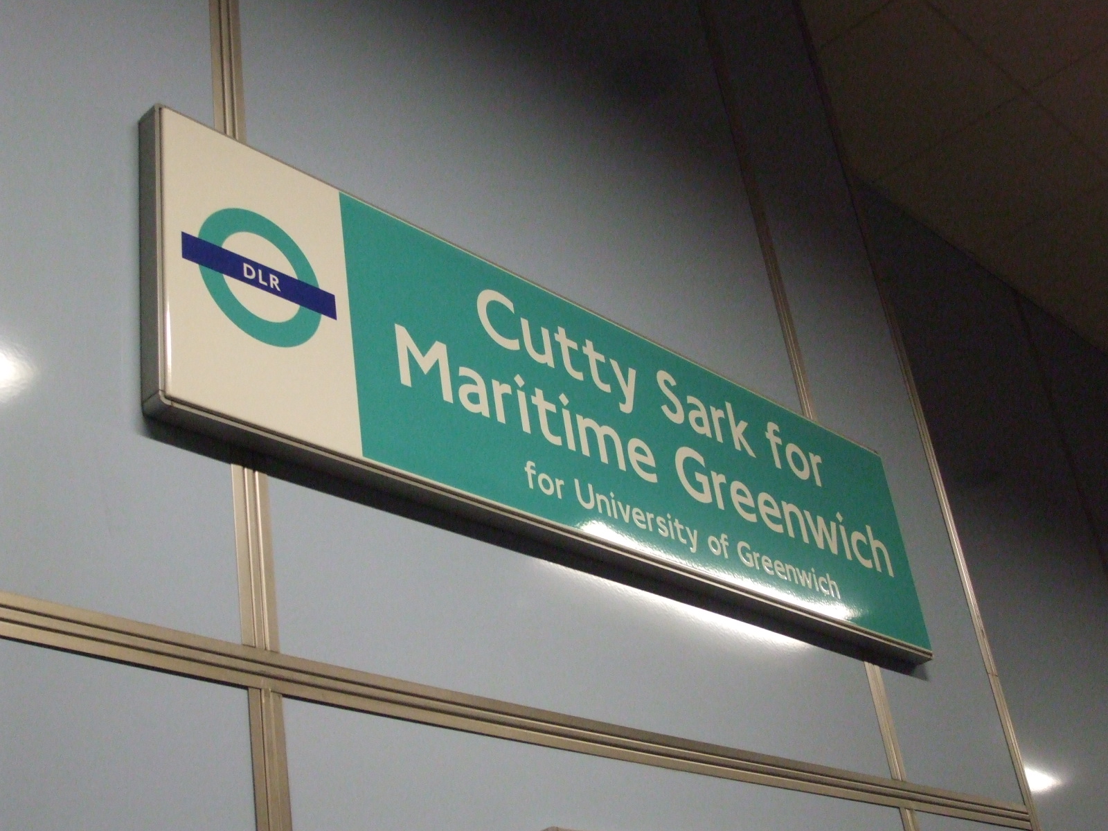
Signage on northbound platform
References
- ^ "Step free Tube Guide". Transport for London. December 2009. http://www.tfl.gov.uk/assets/downloads/step-free-tube-guide-map.pdf. Retrieved 8 February 2010.
- ^ Cutty Sark station information Transport for London Retrieved 2010-07-20
- ^ DLR history map Transport for London Retrieved 2010-07-20
- ^ DLR toasts 10 years of the Lewisham extension Transport for London Retrieved 2010-07-20
- ^ DLR public inquiry closes Transport for London Retrieved 2010-07-20
- ^ DLR frequencies Transport for London Retrieved 2010-07-20
- ^ Greenwich bus map Transport for London Retrieved 2010-07-20
External links
Preceding station  DLR
DLRFollowing station Docklands Light Railway towards LewishamBank/Tower Gateway-Canning TownBank • Blackwall • Canning Town • East India • Limehouse
  • Poplar • Shadwell • Westferry • Tower Gateway ( Tower Hill, Fenchurch Street)Lewisham branchStratford branchBeckton branchBeckton • Beckton Park • Custom House • Cyprus • Gallions Reach • Prince Regent • Royal Albert • Royal VictoriaWoolwich Arsenal branchStratford International branch
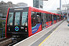
click to enlargeFuture ExtensionsStationsRolling stock Rolling StockDepotsBeckton • PoplarTransport for London
Categories:- Rail transport stations in London fare zone 2
- Rail transport stations in London fare zone 3
- Docklands Light Railway stations in Greenwich
- Railway stations opened in 1999
-


Wikimedia Foundation. 2010.