- Oisy-le-Verger
-
Oisy-le-Verger

 Oisy-le-VergerLocation within Nord-Pas-de-Calais region
 Oisy-le-Verger
Administration Country France Region Nord-Pas-de-Calais Department Pas-de-Calais Arrondissement Arras Canton Marquion Intercommunality Communauté de communes de Marquion Mayor Jean-Pierre Léger
(2008–2014)Statistics Elevation 32–77 m (105–253 ft)
(avg. 78 m/256 ft)Land area1 11.36 km2 (4.39 sq mi) Population2 1,297 (2206) - Density 114 /km2 (300 /sq mi) INSEE/Postal code 62638/ 62860 1 French Land Register data, which excludes lakes, ponds, glaciers > 1 km² (0.386 sq mi or 247 acres) and river estuaries. 2 Population without double counting: residents of multiple communes (e.g., students and military personnel) only counted once. Coordinates: 50°15′03″N 3°07′29″E / 50.2508333333°N 3.12472222222°E
Oisy-le-Verger is a commune in the Pas-de-Calais department in the Nord-Pas-de-Calais region of France.
Contents
Geography
Oisy-le-Verger is a farming village situated 15 miles (24 km) east of Arras, at the junction of the D21 and D14 roads.
Population
Population history 1962 1968 1975 1982 1990 1999 2006 1303 1328 1310 1278 1301 1260 1297 Census count starting from 1962: Population without duplicates Places of interest
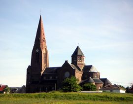
- The church of St. Didier, dating from the twentieth century.
- Traces of an old castle and watermill.
- Remains of the Cistercian abbey founded in 1227.
- A pre-Roman menhir.
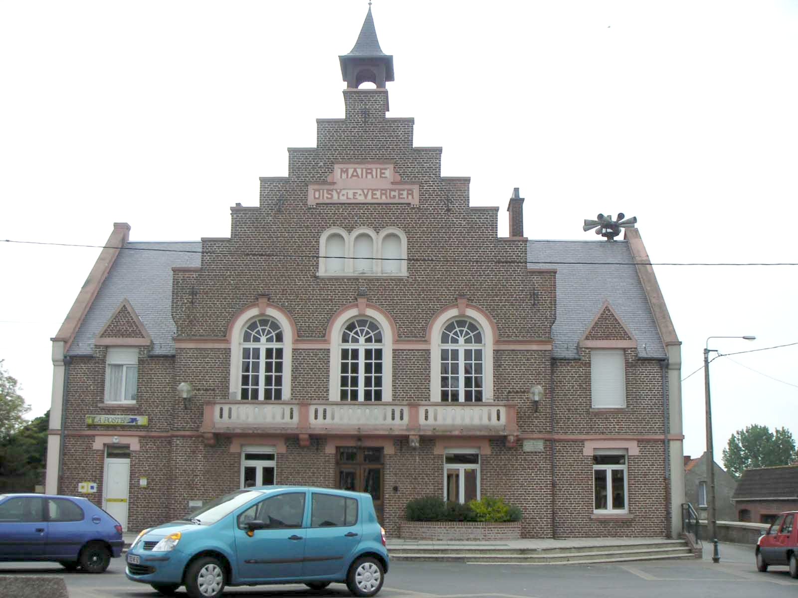
- The museum, housed in the mairie (town hall).
 Town hall of Oisy-le-Verger
See also
References
External links
- Oisy-le-Verger on the Quid website (French)
Categories:- Communes of Pas-de-Calais
- Arras arrondissement geography stubs


Wikimedia Foundation. 2010.